123 Martin Stone Dr Thomasville, NC 27360
Estimated Value: $192,000 - $247,762
3
Beds
2
Baths
3,368
Sq Ft
$66/Sq Ft
Est. Value
About This Home
This home is located at 123 Martin Stone Dr, Thomasville, NC 27360 and is currently estimated at $223,941, approximately $66 per square foot. 123 Martin Stone Dr is a home located in Davidson County with nearby schools including Pilot Elementary School, E. Lawson Brown Middle School, and East Davidson High School.
Ownership History
Date
Name
Owned For
Owner Type
Purchase Details
Closed on
Mar 17, 2020
Sold by
Stone James Webster
Bought by
Lambeth Heidi Stone
Current Estimated Value
Purchase Details
Closed on
Oct 28, 2005
Sold by
White Charles J
Bought by
Stone James Webster
Purchase Details
Closed on
Aug 18, 2004
Sold by
White Carolyn B
Bought by
White Charles J
Purchase Details
Closed on
Apr 1, 1989
Purchase Details
Closed on
Jul 1, 1986
Purchase Details
Closed on
Jan 1, 1983
Create a Home Valuation Report for This Property
The Home Valuation Report is an in-depth analysis detailing your home's value as well as a comparison with similar homes in the area
Home Values in the Area
Average Home Value in this Area
Purchase History
| Date | Buyer | Sale Price | Title Company |
|---|---|---|---|
| Lambeth Heidi Stone | -- | None Available | |
| Stone James Webster | $38,000 | None Available | |
| White Charles J | -- | -- | |
| -- | -- | -- | |
| -- | $55,000 | -- | |
| -- | $44,000 | -- |
Source: Public Records
Tax History Compared to Growth
Tax History
| Year | Tax Paid | Tax Assessment Tax Assessment Total Assessment is a certain percentage of the fair market value that is determined by local assessors to be the total taxable value of land and additions on the property. | Land | Improvement |
|---|---|---|---|---|
| 2025 | $837 | $131,700 | $0 | $0 |
| 2024 | $837 | $131,700 | $0 | $0 |
| 2023 | $811 | $131,700 | $0 | $0 |
| 2022 | $811 | $131,700 | $0 | $0 |
| 2021 | $811 | $131,700 | $0 | $0 |
| 2020 | $733 | $119,090 | $0 | $0 |
| 2019 | $744 | $119,090 | $0 | $0 |
| 2018 | $744 | $119,090 | $0 | $0 |
| 2017 | $744 | $119,090 | $0 | $0 |
| 2016 | $744 | $119,090 | $0 | $0 |
| 2015 | $744 | $119,090 | $0 | $0 |
| 2014 | $574 | $91,810 | $0 | $0 |
Source: Public Records
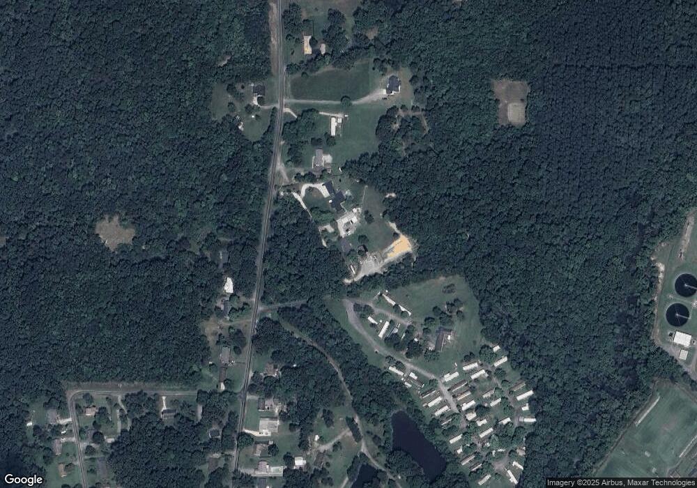
Map
Nearby Homes
- 0 Hillcrest Dr Unit 90 CAR4240649
- 1125 Hillcrest Dr
- 1269 Johnsontown Rd
- 1052 Johnsontown Rd
- 170 Garrett Ln
- 106 Kincemac Dr
- 190 Rebecca Dr
- 186 Rebecca Dr
- 1142 Kendall Mill Rd
- 107 Fletcher's Farm Dr
- 109 Fletcher's Farm Dr
- 307 Fisher Ferry St
- 1000 Stemp Everhart Rd
- 122 S Old Fisher Ferry Rd
- 171 Stemp Everhart Rd
- 1834 Stemp Everhart Rd
- 0 Smith Dr
- 1 Westwood Ave
- 0 Coral Ln
- 0000 Old Lexington Rd