123 Pierre Rd West Stewartstown, NH 03597
Estimated Value: $322,000 - $363,000
2
Beds
1
Bath
2,109
Sq Ft
$163/Sq Ft
Est. Value
About This Home
This home is located at 123 Pierre Rd, West Stewartstown, NH 03597 and is currently estimated at $343,645, approximately $162 per square foot. 123 Pierre Rd is a home with nearby schools including Stewartstown Community School and St. Albert School.
Ownership History
Date
Name
Owned For
Owner Type
Purchase Details
Closed on
Nov 12, 2013
Sold by
Tilton Curtis E and Tilton Curtis E
Bought by
Tilton Curtis E
Current Estimated Value
Create a Home Valuation Report for This Property
The Home Valuation Report is an in-depth analysis detailing your home's value as well as a comparison with similar homes in the area
Home Values in the Area
Average Home Value in this Area
Purchase History
| Date | Buyer | Sale Price | Title Company |
|---|---|---|---|
| Tilton Curtis E | -- | -- |
Source: Public Records
Tax History Compared to Growth
Tax History
| Year | Tax Paid | Tax Assessment Tax Assessment Total Assessment is a certain percentage of the fair market value that is determined by local assessors to be the total taxable value of land and additions on the property. | Land | Improvement |
|---|---|---|---|---|
| 2024 | $4,617 | $288,900 | $83,200 | $205,700 |
| 2023 | $4,241 | $288,900 | $83,200 | $205,700 |
| 2022 | $2,592 | $106,400 | $22,100 | $84,300 |
| 2021 | $2,540 | $106,400 | $22,100 | $84,300 |
| 2020 | $2,513 | $106,400 | $22,100 | $84,300 |
| 2019 | $2,509 | $106,400 | $22,100 | $84,300 |
| 2018 | $1,970 | $87,500 | $22,100 | $65,400 |
| 2016 | $2,178 | $91,200 | $24,300 | $66,900 |
Source: Public Records
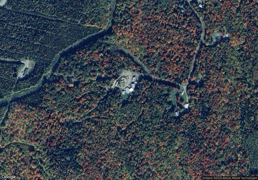
Map
Nearby Homes
- 13 Darwin Dr
- 909 Washington St
- 15 Main St
- 30 Holmes St
- 11 Bohan St
- 147 Canaan Mobile Home Park Unit 18
- 63 Pariseau Dr
- 369 Hall Stream Rd
- 204 Hall Stream Rd
- 92 Bishop Brook Rd
- 12 River Rd
- 869 Piper Hill Rd
- - Bishop Brook Rd
- 3959 Vermont 102
- - Canaan Hill Rd
- 0 Piper Hill Rd Unit C
- TBD Ridge Rd
- 8 Haynes Rd
- 621 Bishop Brook Rd
- 97 Cobblestone Rd
- 148 Perry Rd
- 31 Laflamme Trailer Park Rd
- 54 Laflamme Trailer Park Rd
- 35 Laflamme Trailer Park Rd
- 58 Perry Rd
- 109 Darwin Dr
- 38 Perry Rd
- - Pierre
- 1D Pierre Rd
- 0 Pierre Rd Unit Lot 54
- 46 Bryant St
- 13 Schoolhouse Rd
- - Bryant St
- 0 Bryant Rd
- 0 Bryant Rd Unit 4981179
- 0 Bryant Rd Unit 4170361
- 1034 Us Route 3
- 24 Bryant St
- 49 Perry Rd
- 18 Middle St