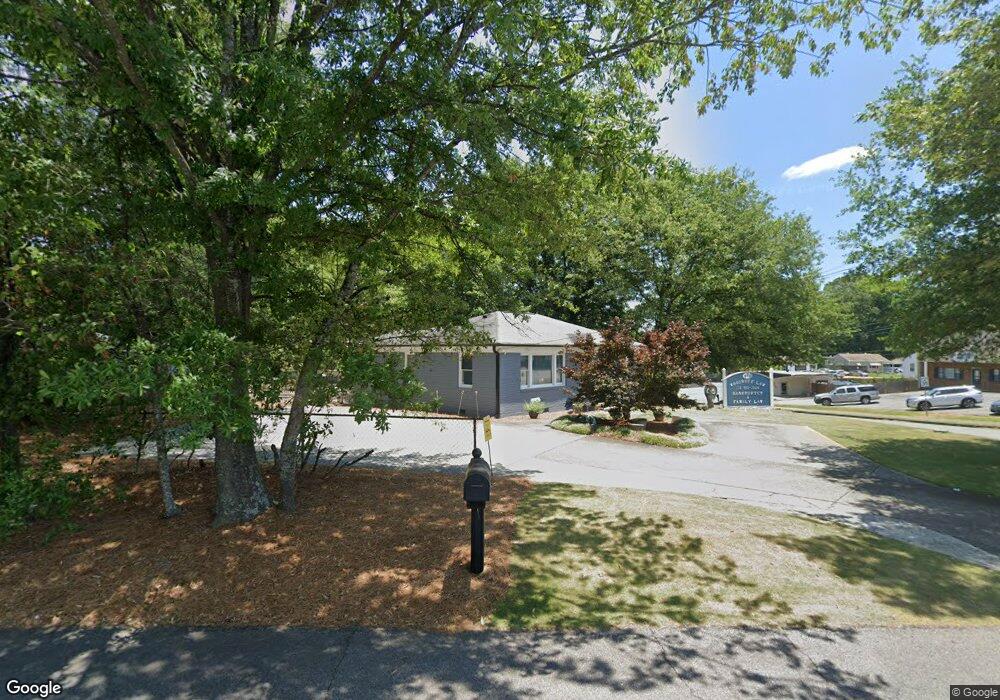
123 Powers Ferry Rd SE Marietta, GA 30067
Eastern Marietta NeighborhoodEstimated Value: $299,650
2
Beds
1
Bath
1,087
Sq Ft
$276/Sq Ft
Est. Value
About This Home
This home is located at 123 Powers Ferry Rd SE, Marietta, GA 30067 and is currently estimated at $299,650, approximately $275 per square foot. 123 Powers Ferry Rd SE is a home located in Cobb County with nearby schools including Marietta Sixth Grade Academy, Lockheed Elementary School, and Marietta Middle School.
Ownership History
Date
Name
Owned For
Owner Type
Purchase Details
Closed on
Oct 14, 2010
Sold by
Kath Ronald E Living
Bought by
Woodruff Ronna M and Woodruff James D
Current Estimated Value
Home Financials for this Owner
Home Financials are based on the most recent Mortgage that was taken out on this home.
Original Mortgage
$110,000
Outstanding Balance
$72,378
Interest Rate
4.37%
Mortgage Type
Commercial
Estimated Equity
$227,272
Purchase Details
Closed on
Apr 20, 2010
Sold by
Hamadeh Sulieman
Bought by
Kath Ronald E
Create a Home Valuation Report for This Property
The Home Valuation Report is an in-depth analysis detailing your home's value as well as a comparison with similar homes in the area
Home Values in the Area
Average Home Value in this Area
Purchase History
| Date | Buyer | Sale Price | Title Company |
|---|---|---|---|
| Woodruff Ronna M | $110,000 | -- | |
| Kath Ronald E | $100,000 | -- |
Source: Public Records
Mortgage History
| Date | Status | Borrower | Loan Amount |
|---|---|---|---|
| Open | Woodruff Ronna M | $110,000 |
Source: Public Records
Tax History Compared to Growth
Tax History
| Year | Tax Paid | Tax Assessment Tax Assessment Total Assessment is a certain percentage of the fair market value that is determined by local assessors to be the total taxable value of land and additions on the property. | Land | Improvement |
|---|---|---|---|---|
| 2025 | $789 | $93,212 | $57,532 | $35,680 |
| 2024 | $787 | $93,012 | $57,532 | $35,480 |
| 2023 | $686 | $81,028 | $50,028 | $31,000 |
| 2022 | $662 | $78,264 | $48,264 | $30,000 |
| 2021 | $576 | $67,108 | $48,264 | $18,844 |
| 2020 | $498 | $57,984 | $41,968 | $16,016 |
| 2019 | $480 | $55,856 | $41,968 | $13,888 |
| 2018 | $480 | $55,856 | $41,968 | $13,888 |
| 2017 | $385 | $55,856 | $41,968 | $13,888 |
| 2016 | $330 | $47,916 | $34,980 | $12,936 |
| 2015 | $359 | $47,916 | $34,980 | $12,936 |
| 2014 | $368 | $47,496 | $34,980 | $12,516 |
Source: Public Records
Map
Nearby Homes
- 141 Powers Ferry Rd SE
- 229 Mathews Cir SE
- 185 Herbert Dr SE
- 1664 Crestridge Dr SE
- 1785 Crestridge Dr SE
- 1722 Crestridge Dr SE
- 1445 Varner Rd
- 1824 Crestridge Dr SE
- 332 Hamilton Trace
- 0 Shadowbrook Dr Unit 10506866
- 0 Shadowbrook Dr Unit 7564152
- 349 Virginia Place SE
- 369 Virginia Place SE
- 1821 Clearwater Dr SE
- 1923 Clearwater Dr SE
- 340 Bell St SE
- 503 Sonata Walk
- 1849 Toccata Ln
- 378 Lockheed Ave SE
- 1490 Cloverdale Dr SE
- 1490 Cloverdale Dr SE Unit 56
- 1492 Cloverdale Dr SE
- 124 Powers Ferry Rd SE
- 1502 Cloverdale Dr SE
- 1510 Cloverdale Dr SE
- 1518 Cloverdale Dr SE
- 105 Charles Ave SE
- 131 Powers Ferry Rd SE
- 0 Goldie Dr SE Unit 7329280
- 0 Goldie Dr SE Unit 7198938
- 0 Goldie Dr SE Unit 8855957
- 0 Goldie Dr SE Unit 8809510
- 0 Goldie Dr SE
- 136 Goldie Dr SE
- 1530 Cloverdale Dr SE
- 1459 James St SE
- 1459 James St SE Unit 130
- 1467 James St SE
- 115 Charles Ave SE