123 Remington Rd Anderson, SC 29621
Estimated Value: $107,224 - $330,000
2
Beds
1
Bath
865
Sq Ft
$232/Sq Ft
Est. Value
About This Home
This home is located at 123 Remington Rd, Anderson, SC 29621 and is currently estimated at $201,075, approximately $232 per square foot. 123 Remington Rd is a home located in Anderson County with nearby schools including Belton Honea Path High School.
Ownership History
Date
Name
Owned For
Owner Type
Purchase Details
Closed on
Dec 27, 2018
Sold by
Miller Tiffany A
Bought by
Martin Marcos Mateo and Martin Tomas Ana
Current Estimated Value
Purchase Details
Closed on
Oct 15, 2013
Sold by
Antoine Arthur F
Bought by
Miller Tiffany A
Purchase Details
Closed on
Nov 30, 2012
Sold by
Mcmahan Debra Lynn
Bought by
Antoine Arthur
Purchase Details
Closed on
May 29, 2008
Sold by
Stroud Lewis Graham
Bought by
Mcmahan Debra Lynn
Create a Home Valuation Report for This Property
The Home Valuation Report is an in-depth analysis detailing your home's value as well as a comparison with similar homes in the area
Home Values in the Area
Average Home Value in this Area
Purchase History
| Date | Buyer | Sale Price | Title Company |
|---|---|---|---|
| Martin Marcos Mateo | $35,000 | None Available | |
| Miller Tiffany A | $11,000 | -- | |
| Antoine Arthur | $3,639 | -- | |
| Mcmahan Debra Lynn | -- | -- | |
| Stroud Lewis Graham | -- | -- |
Source: Public Records
Tax History Compared to Growth
Tax History
| Year | Tax Paid | Tax Assessment Tax Assessment Total Assessment is a certain percentage of the fair market value that is determined by local assessors to be the total taxable value of land and additions on the property. | Land | Improvement |
|---|---|---|---|---|
| 2024 | $877 | $2,360 | $1,320 | $1,040 |
| 2023 | $877 | $2,360 | $1,320 | $1,040 |
| 2022 | $824 | $2,360 | $1,320 | $1,040 |
| 2021 | $761 | $1,960 | $990 | $970 |
| 2020 | $712 | $1,960 | $990 | $970 |
| 2019 | $712 | $1,850 | $880 | $970 |
| 2018 | $685 | $1,830 | $310 | $1,520 |
| 2017 | -- | $1,830 | $310 | $1,520 |
| 2016 | $742 | $1,940 | $210 | $1,730 |
| 2015 | $761 | $1,940 | $210 | $1,730 |
| 2014 | $752 | $4,370 | $1,820 | $2,550 |
Source: Public Records
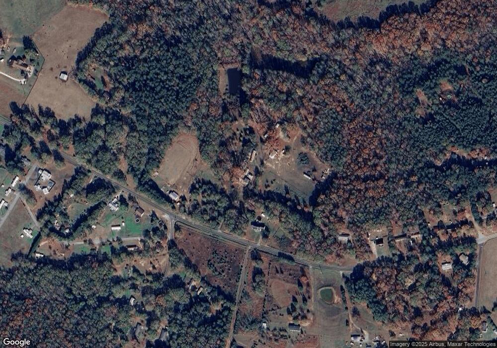
Map
Nearby Homes
- 2604 Broadway Lake Rd
- 113 P-14-64
- 104 Hart Rd
- 00 Robertson Rd
- 0 Broadway Lake Rd Unit 23383777
- 00 Shirley Dr
- 2213 Broadway Lake Rd
- 1111 Shirley Dr
- 1418 Grove Rd
- 217 Long Branch Rd
- 215 Long Branch Rd
- 7 Long Branch Rd
- 450 Johnson Ave
- 101 Rocky Top Rd
- 1905 Broadway Lake Rd
- 112 Linkside Dr
- 228 Boseman Rd
- 118 Lakeside Dr
- 329 McFalls Landing
- 133 Estateside Dr
- 2605 Broadway Lake Rd
- 2601 Broadway Lake Rd
- 0 Tr 13 Off Robertson Rd Unit 908889
- TR 2 Robertson Rd (Just Off) Unit Coleman Avenue
- 2536 Broadway Lake Rd
- 2611 Broadway Lake Rd
- 115 Robertson Rd
- 2534 Broadway Lake Rd
- 104 Robertson Rd
- 109 Robertson Rd
- 2532 Broadway Lake Rd
- 221 Joe Dyar Rd
- 222 Joe Dyar Rd
- 2528 Broadway Lake Rd
- 111 Robertson Rd
- 108 Robertson Rd
- 110 Robertson Rd
- 2631 Broadway Lake Rd
- 2614 Broadway Lake Rd
- 216 Joe Dyar Rd