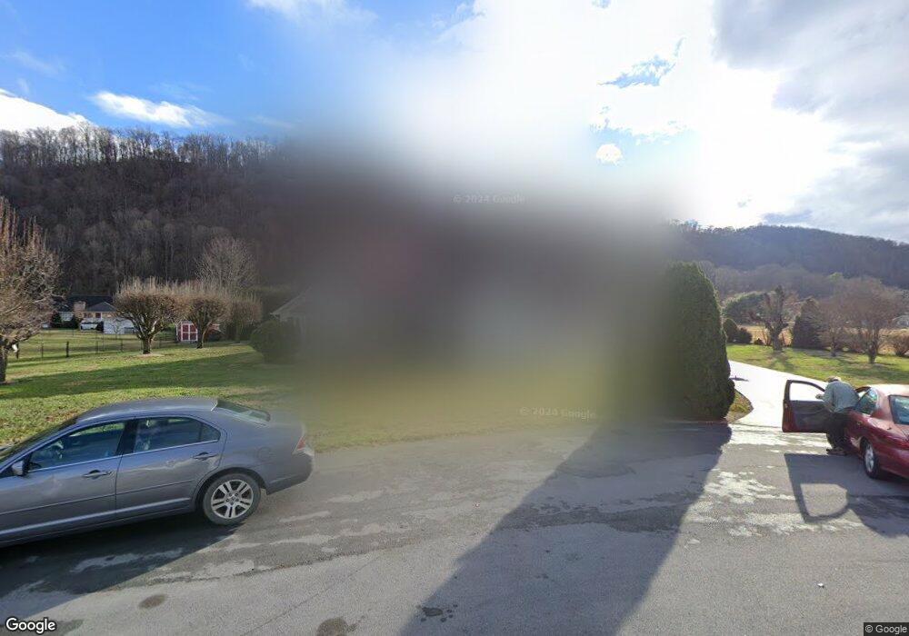
123 Robert Lincoln Ct Elizabethton, TN 37643
Estimated Value: $407,921 - $492,000
4
Beds
3
Baths
2,486
Sq Ft
$184/Sq Ft
Est. Value
About This Home
This home is located at 123 Robert Lincoln Ct, Elizabethton, TN 37643 and is currently estimated at $457,480, approximately $184 per square foot. 123 Robert Lincoln Ct is a home located in Carter County with nearby schools including East Tn Christian Home & Academy.
Ownership History
Date
Name
Owned For
Owner Type
Purchase Details
Closed on
Jan 6, 2025
Sold by
Bennett Joyce
Bought by
Bennett Zyndal
Current Estimated Value
Purchase Details
Closed on
Jun 20, 2008
Sold by
Gibson Catherine L
Bought by
Bennett Zyndal
Purchase Details
Closed on
Jul 5, 2005
Bought by
Gibson Catherine L
Purchase Details
Closed on
Aug 9, 1994
Bought by
Ratcliff Donald and Ratcliff Barbara Carol
Create a Home Valuation Report for This Property
The Home Valuation Report is an in-depth analysis detailing your home's value as well as a comparison with similar homes in the area
Home Values in the Area
Average Home Value in this Area
Purchase History
| Date | Buyer | Sale Price | Title Company |
|---|---|---|---|
| Bennett Zyndal | -- | None Listed On Document | |
| Bennett Zyndal | $239,000 | -- | |
| Gibson Catherine L | $192,000 | -- | |
| Ratcliff Donald | $15,000 | -- |
Source: Public Records
Tax History Compared to Growth
Tax History
| Year | Tax Paid | Tax Assessment Tax Assessment Total Assessment is a certain percentage of the fair market value that is determined by local assessors to be the total taxable value of land and additions on the property. | Land | Improvement |
|---|---|---|---|---|
| 2024 | $1,357 | $62,225 | $12,025 | $50,200 |
| 2023 | $1,357 | $62,225 | $0 | $0 |
| 2022 | $1,263 | $62,225 | $12,025 | $50,200 |
| 2021 | $1,263 | $62,225 | $12,025 | $50,200 |
| 2020 | $1,368 | $62,225 | $12,025 | $50,200 |
| 2019 | $1,368 | $55,375 | $12,025 | $43,350 |
| 2018 | $1,368 | $55,375 | $12,025 | $43,350 |
| 2017 | $1,368 | $55,375 | $12,025 | $43,350 |
| 2016 | $1,357 | $55,375 | $12,025 | $43,350 |
| 2015 | $1,325 | $54,075 | $12,025 | $42,050 |
| 2014 | $1,429 | $58,325 | $12,025 | $46,300 |
Source: Public Records
Map
Nearby Homes
- 110 Lynnview Cir
- 123 Starlight Dr
- 1466 Broad St
- 128 Rufus Taylor Rd
- 166 Pierce St
- 123 Eastland Dr
- Tbd Howard Ct
- 1357 Broad St
- 201 Ron Royce Dr Unit 1
- 115 Lancelot Dr
- 173 Deloach Rd
- 177 Aviation Dr
- 161 Judge Ben Allen Rd
- 105 Bishop Hollow Rd
- 400 Airport Rd
- 1227 Broad St
- 113 Old Stoney Loop
- 1922 Siam Rd
- 104 Daniel Ln
- TBD Willshire Dr
- 117 Robert Lincoln Ct
- 124 Robert Lincoln Ct
- 111 Robert Lincoln Ct
- 122 Robert Lincoln Ct
- 118 Abe Lincoln Ct
- 114 Robert Lincoln Ct
- 114 Abe Lincoln Ct
- 122 Abe Lincoln Ct
- 109 Robert Lincoln Ct
- 185 Echo Dr
- 108 Robert Lincoln Ct
- 109 Tad Lincoln Ct
- 111 Tad Lincoln Ct
- 187 Echo Dr
- 107 Tad Lincoln Ct
- 110 Abe Lincoln Ct
- 184 El Bowers Rd
- 105 Robert Lincoln Ct
- 174 Lovers Ln
- 174 El Bowers Rd