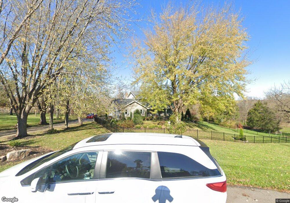
123 Rock Creek Loop Lansing, KS 66043
Estimated Value: $425,000 - $490,885
3
Beds
3
Baths
2,956
Sq Ft
$157/Sq Ft
Est. Value
About This Home
This home is located at 123 Rock Creek Loop, Lansing, KS 66043 and is currently estimated at $463,962, approximately $156 per square foot. 123 Rock Creek Loop is a home located in Leavenworth County with nearby schools including Lansing Elementary School, Lansing Middle 6-8, and Lansing High 9-12.
Ownership History
Date
Name
Owned For
Owner Type
Purchase Details
Closed on
Jul 1, 1986
Bought by
Didde Dale S and Didde Kim I
Current Estimated Value
Home Financials for this Owner
Home Financials are based on the most recent Mortgage that was taken out on this home.
Original Mortgage
$276,861
Outstanding Balance
$250,904
Interest Rate
10.62%
Mortgage Type
FHA
Estimated Equity
$213,058
Create a Home Valuation Report for This Property
The Home Valuation Report is an in-depth analysis detailing your home's value as well as a comparison with similar homes in the area
Home Values in the Area
Average Home Value in this Area
Purchase History
| Date | Buyer | Sale Price | Title Company |
|---|---|---|---|
| Didde Dale S | $21,000 | -- |
Source: Public Records
Mortgage History
| Date | Status | Borrower | Loan Amount |
|---|---|---|---|
| Open | Didde Dale S | $276,861 |
Source: Public Records
Tax History Compared to Growth
Tax History
| Year | Tax Paid | Tax Assessment Tax Assessment Total Assessment is a certain percentage of the fair market value that is determined by local assessors to be the total taxable value of land and additions on the property. | Land | Improvement |
|---|---|---|---|---|
| 2025 | $6,634 | $50,870 | $8,528 | $42,342 |
| 2024 | $6,138 | $48,915 | $9,856 | $39,059 |
| 2023 | $6,138 | $47,033 | $9,856 | $37,177 |
| 2022 | $5,901 | $42,757 | $7,699 | $35,058 |
| 2021 | $5,903 | $40,882 | $7,699 | $33,183 |
| 2020 | $5,674 | $38,674 | $7,699 | $30,975 |
| 2019 | $5,299 | $36,089 | $7,699 | $28,390 |
| 2018 | $4,998 | $34,072 | $7,699 | $26,373 |
| 2017 | $4,862 | $33,080 | $7,699 | $25,381 |
| 2016 | $4,816 | $32,752 | $7,699 | $25,053 |
| 2015 | $5,109 | $34,832 | $9,692 | $25,140 |
| 2014 | $4,883 | $33,994 | $9,692 | $24,302 |
Source: Public Records
Map
Nearby Homes
- 131 Rock Creek Loop
- 115 W Gilman Rd
- 705 Rock Creek Dr
- 875 Clearview Dr
- 833 Rock Creek Dr
- 922 Southfork St
- 901 S Main St
- 24431 139th St
- 13788 McIntyre2 Rd
- 13788 McIntyre1 Rd
- 13788 Mcintyre Rd
- 1221 S Desoto Rd
- 13965 Mc Intyre Rd
- 722 Bittersweet Rd
- 811 4-H Rd
- 624 S Bittersweet Ln
- 000 4-H Rd
- 104 Olive St
- 527 S Valley Dr
- 506 1st Terrace
- 121 Rock Creek Loop
- 119 Rock Creek Loop
- 125 Rock Creek Loop
- 128 Rock Creek Loop
- 127 Rock Creek Loop
- 118 Rock Creek Loop
- 117 Rock Creek Loop
- 129 Rock Creek Loop
- 110 Rock Creek Loop
- 117 Willow Dr
- 115 Willow Dr
- 121 Willow Dr
- 113 Willow Dr
- 104 Rock Creek Loop
- 119 Willow St
- 111 Willow Dr
- 133 Rock Creek Loop
- 109 Willow Dr
- 121 W Gilman Rd
- 135 Rock Creek Loop