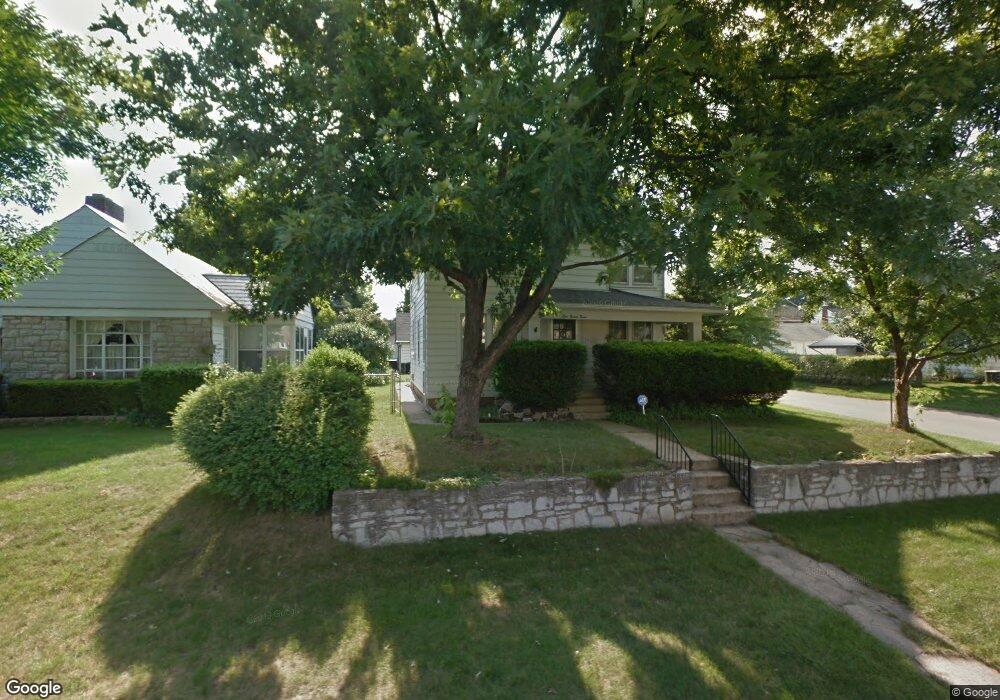
123 S Algonquin Ave Columbus, OH 43204
Westgate NeighborhoodEstimated Value: $268,351 - $306,000
3
Beds
3
Baths
1,608
Sq Ft
$182/Sq Ft
Est. Value
About This Home
This home is located at 123 S Algonquin Ave, Columbus, OH 43204 and is currently estimated at $292,588, approximately $181 per square foot. 123 S Algonquin Ave is a home located in Franklin County with nearby schools including Westgate Alternative Elementary School, Westmoor Middle School, and West High School.
Ownership History
Date
Name
Owned For
Owner Type
Purchase Details
Closed on
Jan 26, 2018
Sold by
Lonsdale David J and Lonsdale Janice M
Bought by
Lonsdale David J and Janice M Lonsdale R
Current Estimated Value
Purchase Details
Closed on
Apr 9, 1991
Bought by
Lonsdale David J D
Purchase Details
Closed on
Jul 1, 1987
Purchase Details
Closed on
Jul 1, 1980
Create a Home Valuation Report for This Property
The Home Valuation Report is an in-depth analysis detailing your home's value as well as a comparison with similar homes in the area
Home Values in the Area
Average Home Value in this Area
Purchase History
| Date | Buyer | Sale Price | Title Company |
|---|---|---|---|
| Lonsdale David J | -- | None Available | |
| Lonsdale David J D | $79,900 | -- | |
| -- | $69,800 | -- | |
| -- | $59,000 | -- |
Source: Public Records
Tax History Compared to Growth
Tax History
| Year | Tax Paid | Tax Assessment Tax Assessment Total Assessment is a certain percentage of the fair market value that is determined by local assessors to be the total taxable value of land and additions on the property. | Land | Improvement |
|---|---|---|---|---|
| 2024 | $3,716 | $82,810 | $21,000 | $61,810 |
| 2023 | $3,669 | $82,810 | $21,000 | $61,810 |
| 2022 | $2,874 | $55,410 | $7,350 | $48,060 |
| 2021 | $2,879 | $55,410 | $7,350 | $48,060 |
| 2020 | $2,883 | $55,410 | $7,350 | $48,060 |
| 2019 | $2,818 | $46,450 | $6,130 | $40,320 |
| 2018 | $2,556 | $46,450 | $6,130 | $40,320 |
| 2017 | $2,675 | $46,450 | $6,130 | $40,320 |
| 2016 | $2,534 | $38,260 | $6,970 | $31,290 |
| 2015 | $2,301 | $38,260 | $6,970 | $31,290 |
| 2014 | $2,306 | $38,260 | $6,970 | $31,290 |
| 2013 | $1,197 | $40,250 | $7,315 | $32,935 |
Source: Public Records
Map
Nearby Homes
- 133 S Brinker Ave
- 3096 Ellis Place
- 195 S Sylvan Ave
- 79 S Southampton Ave
- 253 Powhatan Ave
- 32 Orel Ave
- 267 S Westgate Ave
- 0 S Brinker Ave
- 36-38 Orel Ave
- 43 Letchworth Ave
- 66 N Brinker Ave
- 30 Demorest Rd
- 58 Binns Blvd
- 328 S Southampton Ave
- 113 N Brinker Ave Unit 115
- 75 N Huron Ave
- 119 N Westgate Ave
- 3100 Steele Ave
- 160 N Sylvan Ave
- 180 N Sylvan Ave
- 125 S Algonquin Ave
- 111 S Algonquin Ave
- 135 S Algonquin Ave
- 124 Powhatan Ave
- 130 Powhatan Ave
- 103 S Algonquin Ave
- 143 S Algonquin Ave
- 110 Powhatan Ave
- 124 S Algonquin Ave
- 138 Powhatan Ave
- 130 S Algonquin Ave
- 97 S Algonquin Ave
- 136 S Algonquin Ave
- 110 S Algonquin Ave
- 104 Powhatan Ave
- 149 S Algonquin Ave
- 104 S Algonquin Ave
- 144 S Algonquin Ave
- 150 Powhatan Ave
- 98 Powhatan Ave