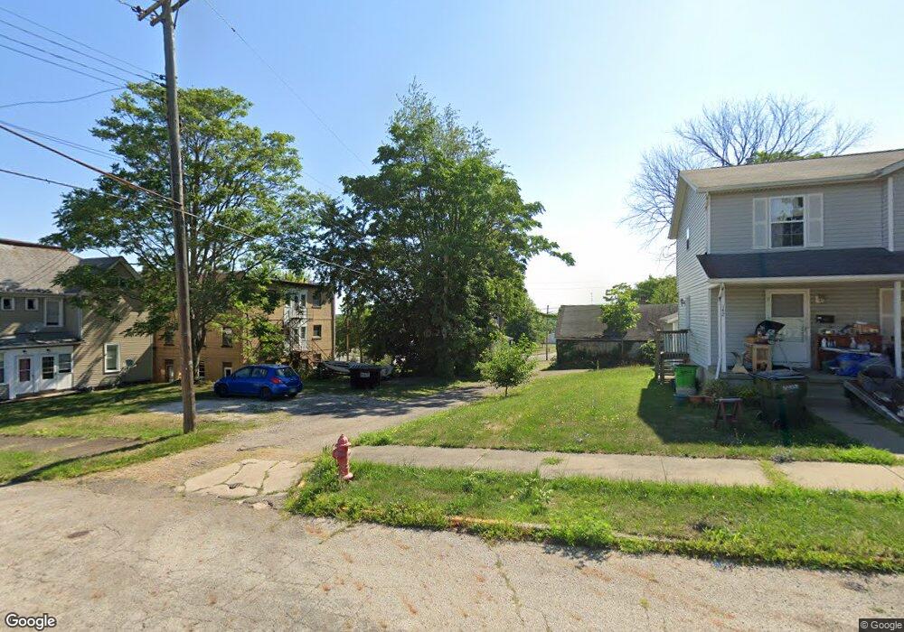
123 S Liberty Ave Alliance, OH 44601
Estimated Value: $55,644 - $173,000
--
Bed
2
Baths
--
Sq Ft
1,786
Sq Ft Lot
About This Home
This home is located at 123 S Liberty Ave, Alliance, OH 44601 and is currently estimated at $117,661. 123 S Liberty Ave is a home located in Stark County with nearby schools including Alliance Intermediate School at Northside, Alliance Elementary School at Rockhill, and Alliance Middle School.
Ownership History
Date
Name
Owned For
Owner Type
Purchase Details
Closed on
Jul 24, 1998
Sold by
Pittman Memphis
Bought by
Muica Sorin and Muica Heidi M
Current Estimated Value
Home Financials for this Owner
Home Financials are based on the most recent Mortgage that was taken out on this home.
Original Mortgage
$18,400
Outstanding Balance
$3,808
Interest Rate
7.13%
Mortgage Type
New Conventional
Estimated Equity
$113,853
Purchase Details
Closed on
Jan 18, 1996
Sold by
Shaver Loren J
Bought by
Pittman Memphis
Purchase Details
Closed on
Jul 13, 1992
Create a Home Valuation Report for This Property
The Home Valuation Report is an in-depth analysis detailing your home's value as well as a comparison with similar homes in the area
Home Values in the Area
Average Home Value in this Area
Purchase History
| Date | Buyer | Sale Price | Title Company |
|---|---|---|---|
| Muica Sorin | $23,000 | -- | |
| Pittman Memphis | $7,000 | -- | |
| -- | $5,000 | -- |
Source: Public Records
Mortgage History
| Date | Status | Borrower | Loan Amount |
|---|---|---|---|
| Open | Muica Sorin | $18,400 |
Source: Public Records
Tax History Compared to Growth
Tax History
| Year | Tax Paid | Tax Assessment Tax Assessment Total Assessment is a certain percentage of the fair market value that is determined by local assessors to be the total taxable value of land and additions on the property. | Land | Improvement |
|---|---|---|---|---|
| 2025 | $17,665 | $810 | $810 | -- |
| 2024 | $16,739 | $810 | $810 | -- |
| 2023 | $16,303 | $420 | $420 | -- |
| 2022 | $17 | $420 | $420 | $0 |
| 2021 | $17 | $420 | $420 | $0 |
| 2020 | $16 | $350 | $350 | $0 |
| 2019 | $15 | $350 | $350 | $0 |
| 2018 | $15 | $350 | $350 | $0 |
| 2017 | $12,158 | $320 | $320 | $0 |
| 2016 | $11,681 | $320 | $320 | $0 |
| 2015 | $10,501 | $320 | $320 | $0 |
| 2014 | $258 | $5,390 | $560 | $4,830 |
| 2013 | $129 | $5,390 | $560 | $4,830 |
Source: Public Records
Map
Nearby Homes
- V/L S Freedom Ave
- 361 E Main St
- 442 S Liberty Ave
- 404 S Linden Ave
- 432 S Linden Ave
- 328 N Webb Ave
- 1245 Jersey St
- 452 E Summit St
- 314 Oak Ave
- 62 E Market St
- 955 E Summit St
- 608 N Freedom Ave
- 831 Wade Ave
- 427 S Union Ave
- 710 N Freedom Ave
- 535 S Union Ave
- 814 Milner St
- 505 N Union Ave
- 234 Rosenberry St
- 1010 S Liberty Ave
- 107 S Liberty Ave
- 123 S Liberty Ave
- 111 S Liberty Ave
- 131 S Liberty Ave
- 141 S Liberty Ave
- 625 E Market St
- 102 S Liberty Ave
- 104 S Liberty Ave
- 603 E Market St
- 148 S Liberty Ave
- 616 E Market St
- 150 S Seneca Ave
- 606 E Market St
- 222 S Liberty Ave
- 745 Fulton St
- 537 E Market St
- 222 S Seneca Ave
- 755 Fulton St
- 232 S Seneca Ave
- 113 S Webb Ave