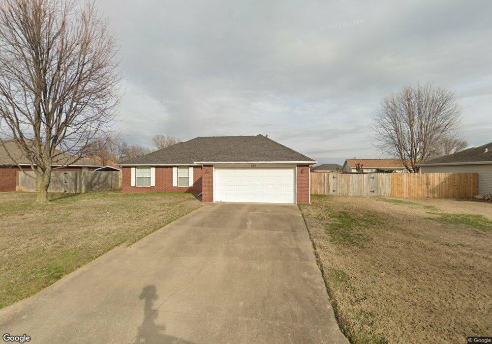
123 S Michael St Lowell, AR 72745
Estimated Value: $231,000 - $282,000
Studio
2
Baths
1,233
Sq Ft
$208/Sq Ft
Est. Value
About This Home
This home is located at 123 S Michael St, Lowell, AR 72745 and is currently estimated at $256,052, approximately $207 per square foot. 123 S Michael St is a home located in Benton County with nearby schools including Lowell Elementary School, Kirksey Middle School, and Rogers High School.
Ownership History
Date
Name
Owned For
Owner Type
Purchase Details
Closed on
Jun 5, 2013
Sold by
Grigg Scott D
Bought by
Peterson Dwayne A
Current Estimated Value
Home Financials for this Owner
Home Financials are based on the most recent Mortgage that was taken out on this home.
Original Mortgage
$76,530
Outstanding Balance
$53,922
Interest Rate
3.43%
Mortgage Type
New Conventional
Estimated Equity
$202,130
Purchase Details
Closed on
Jun 9, 1997
Bought by
Grigg
Purchase Details
Closed on
Jan 29, 1997
Bought by
Knight
Create a Home Valuation Report for This Property
The Home Valuation Report is an in-depth analysis detailing your home's value as well as a comparison with similar homes in the area
Home Values in the Area
Average Home Value in this Area
Purchase History
| Date | Buyer | Sale Price | Title Company |
|---|---|---|---|
| Peterson Dwayne A | $75,000 | Mercury Title Llc | |
| Grigg | $77,000 | -- | |
| Knight | $15,000 | -- |
Source: Public Records
Mortgage History
| Date | Status | Borrower | Loan Amount |
|---|---|---|---|
| Open | Peterson Dwayne A | $76,530 |
Source: Public Records
Tax History
| Year | Tax Paid | Tax Assessment Tax Assessment Total Assessment is a certain percentage of the fair market value that is determined by local assessors to be the total taxable value of land and additions on the property. | Land | Improvement |
|---|---|---|---|---|
| 2025 | $1,594 | $47,883 | $15,200 | $32,683 |
| 2024 | $1,410 | $47,883 | $15,200 | $32,683 |
| 2023 | $1,343 | $30,540 | $7,200 | $23,340 |
| 2022 | $1,032 | $30,540 | $7,200 | $23,340 |
| 2021 | $963 | $30,540 | $7,200 | $23,340 |
| 2020 | $902 | $21,940 | $4,000 | $17,940 |
| 2019 | $869 | $21,940 | $4,000 | $17,940 |
| 2018 | $894 | $21,940 | $4,000 | $17,940 |
| 2017 | $804 | $21,940 | $4,000 | $17,940 |
| 2016 | $804 | $21,940 | $4,000 | $17,940 |
| 2015 | $1,099 | $20,660 | $4,400 | $16,260 |
| 2014 | $749 | $20,660 | $4,400 | $16,260 |
Source: Public Records
Map
Nearby Homes
- 704 Mcclure Ave
- 504 Emerald St
- 206 N Old Wire Rd
- 1105 Maclaren Ave
- 1101 Maclaren Ave
- 1103 Maclaren Ave
- 1116 Maclaren Ave
- 1102 Maclaren Ave
- 303 Poppy St
- 1005 Marquis Ave
- 1009 Marquis Ave
- 1013 Marquis Ave
- 0 Presidential Dr Unit 1317772
- 602 Emerald St
- 1017 Marquis Ave
- 1021 Marquis Ave
- 1025 Marquis Ave
- 1020 Marquis Ave
- 1024 Marquis Ave
- 1106 Harvest Ave
- 119 S Michael St
- 125 S Michael St
- 122 S Oak St
- 124 S Oak St
- 118 S Oak St
- 122 S Michael St
- 201 S Michael St
- 117 S Michael St
- 124 S Michael St
- 118 S Michael St
- 200 S Oak St
- 116 S Oak St
- 200 S Oak Str South St
- 200 S Michael St
- 116 S Michael St
- 205 S Michael St
- 113 S Michael St
- 204 S Oak St
- 123 S Bailey St
- 112 S Oak St
Your Personal Tour Guide
Ask me questions while you tour the home.