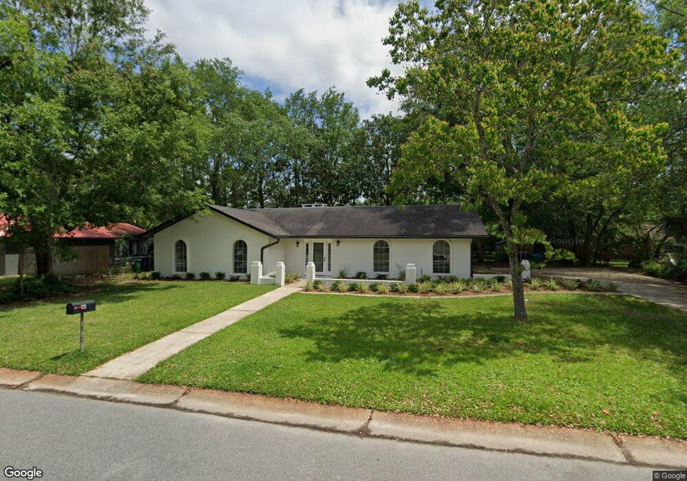
123 Siowan Ave Ocean Springs, MS 39564
Estimated Value: $299,000 - $399,000
--
Bed
2
Baths
2,015
Sq Ft
$170/Sq Ft
Est. Value
About This Home
This home is located at 123 Siowan Ave, Ocean Springs, MS 39564 and is currently estimated at $342,295, approximately $169 per square foot. 123 Siowan Ave is a home located in Jackson County with nearby schools including Oak Park Elementary School, Ocean Springs Middle School, and Ocean Springs High School.
Ownership History
Date
Name
Owned For
Owner Type
Purchase Details
Closed on
May 5, 2022
Sold by
Lindsey Matthew E
Bought by
Riddle Donald Steven and Riddle Kathleen Margaret
Current Estimated Value
Home Financials for this Owner
Home Financials are based on the most recent Mortgage that was taken out on this home.
Original Mortgage
$367,780
Outstanding Balance
$349,445
Interest Rate
5.27%
Mortgage Type
New Conventional
Estimated Equity
-$7,150
Purchase Details
Closed on
Apr 3, 2021
Sold by
Mitrisin Gregory L and Mitrisin Jeffrey A
Bought by
Lindsey Matthew E and Lindsey Jessie L
Create a Home Valuation Report for This Property
The Home Valuation Report is an in-depth analysis detailing your home's value as well as a comparison with similar homes in the area
Home Values in the Area
Average Home Value in this Area
Purchase History
| Date | Buyer | Sale Price | Title Company |
|---|---|---|---|
| Riddle Donald Steven | -- | Mcdermott Michael B | |
| Lindsey Matthew E | -- | None Available |
Source: Public Records
Mortgage History
| Date | Status | Borrower | Loan Amount |
|---|---|---|---|
| Open | Riddle Donald Steven | $367,780 |
Source: Public Records
Tax History Compared to Growth
Tax History
| Year | Tax Paid | Tax Assessment Tax Assessment Total Assessment is a certain percentage of the fair market value that is determined by local assessors to be the total taxable value of land and additions on the property. | Land | Improvement |
|---|---|---|---|---|
| 2024 | $935 | $13,987 | $3,134 | $10,853 |
| 2023 | $935 | $13,987 | $3,134 | $10,853 |
| 2022 | $3,064 | $20,981 | $4,701 | $16,280 |
| 2021 | $3,034 | $21,072 | $4,701 | $16,371 |
| 2020 | $737 | $12,569 | $3,134 | $9,435 |
| 2019 | $734 | $12,569 | $3,134 | $9,435 |
| 2018 | $731 | $12,569 | $3,134 | $9,435 |
| 2017 | $731 | $12,569 | $3,134 | $9,435 |
| 2016 | $716 | $12,569 | $3,134 | $9,435 |
| 2015 | $542 | $112,670 | $31,340 | $81,330 |
| 2014 | $538 | $11,267 | $3,134 | $8,133 |
| 2013 | $526 | $11,267 | $3,134 | $8,133 |
Source: Public Records
Map
Nearby Homes
- 133 Seaside Dr
- 407 Holly St
- 2550 Davidson Rd
- 272 Holcomb Blvd
- 208 Wheaton Ct
- 11 Royal Dr
- 311 Teringo Cir
- 112 White Blvd
- 229 Woodland Cir
- 110 Simon Blvd
- 242 Woodland Cir
- 0 Simon Blvd Unit 4063829
- 229 Linda Dr
- 311 Holcomb Blvd
- 2909 Pimlico Dr
- 108 Sunhaven Dr
- 1918 Stuart Ave
- 1066 Conley Cir
- Lot 21 Hickory Dr
- 606 Clark Ave
- 125 Siowan Ave
- 121 Siowan Ave
- 118 La Branche Ave
- 124 La Branche Ave
- 116 La Branche Ave
- 124 Siowan Ave
- 122 Siowan Ave
- 126 Siowan Ave
- 127 Siowan Ave
- 126 La Branche Ave
- 120 Siowan Ave
- 128 Siowan Ave
- 118 Siowan Ave
- 0 La Branche Ave Unit 4080432
- 116 Siowan Ave
- 121 La Branche Ave
- 123 La Branche Ave
- 126 Watersedge Dr
- 114 La Branche Ave
- 135 Siowan Ave