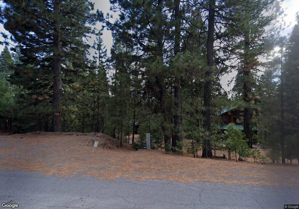
123 Top of the West Dr Chester, CA 96020
Estimated Value: $342,356 - $547,000
2
Beds
2
Baths
1,232
Sq Ft
$374/Sq Ft
Est. Value
About This Home
This home is located at 123 Top of the West Dr, Chester, CA 96020 and is currently estimated at $461,339, approximately $374 per square foot. 123 Top of the West Dr is a home located in Plumas County.
Ownership History
Date
Name
Owned For
Owner Type
Purchase Details
Closed on
Sep 7, 2018
Sold by
Vanderbush Gary A and Vanderbush Joan D
Bought by
Vanderbush Gary A and Vanderbush Joand
Current Estimated Value
Purchase Details
Closed on
Sep 21, 2005
Sold by
Vanderbush Dean A and Vanderbush Kumiko
Bought by
Vanderbush Gary A and Vanderbush Joan D
Purchase Details
Closed on
Sep 9, 2005
Sold by
Vanderbush Gary A and Vanderbush Joan D
Bought by
Vanderbush Dean A and Vanderbush Kumiko
Create a Home Valuation Report for This Property
The Home Valuation Report is an in-depth analysis detailing your home's value as well as a comparison with similar homes in the area
Home Values in the Area
Average Home Value in this Area
Purchase History
| Date | Buyer | Sale Price | Title Company |
|---|---|---|---|
| Vanderbush Gary A | -- | None Available | |
| Vanderbush Gary A | -- | None Available | |
| Vanderbush Dean A | -- | -- |
Source: Public Records
Tax History Compared to Growth
Tax History
| Year | Tax Paid | Tax Assessment Tax Assessment Total Assessment is a certain percentage of the fair market value that is determined by local assessors to be the total taxable value of land and additions on the property. | Land | Improvement |
|---|---|---|---|---|
| 2025 | $2,695 | $225,960 | $42,372 | $183,588 |
| 2023 | $2,695 | $217,188 | $40,728 | $176,460 |
| 2022 | $2,432 | $212,930 | $39,930 | $173,000 |
| 2021 | $2,365 | $208,756 | $39,148 | $169,608 |
| 2020 | $2,414 | $206,616 | $38,747 | $167,869 |
| 2019 | $2,368 | $202,566 | $37,988 | $164,578 |
| 2018 | $2,269 | $198,595 | $37,244 | $161,351 |
| 2017 | $2,257 | $194,702 | $36,514 | $158,188 |
| 2016 | $2,090 | $190,886 | $35,799 | $155,087 |
| 2015 | $2,063 | $188,020 | $35,262 | $152,758 |
| 2014 | $2,027 | $184,338 | $34,572 | $149,766 |
Source: Public Records
Map
Nearby Homes
- 105 Top of the West Dr
- 406 Morningside Ct
- 203 Top of the Dr W
- 118 Top of the Dr W
- 120 Top of the Dr W
- 212 Top of the Dr W
- 304 Osprey Loop
- 311 Osprey Loop
- 343 Osprey Loop
- 182 Slim Dr
- 309 Osprey Loop
- 275 Osprey Loop
- 168 Slim Dr
- 268 Osprey Loop
- 935 Long Iron Dr
- 180 Slim Dr
- 308 Manzanita Dr
- 315 Top of the Dr W
- 156 Slim Dr
- 307 Manzanita Dr
- 106 Fox Glen Dr
- 104 Fox Glen Dr
- 121 Top of the West Dr
- 107 Top of the West Dr
- 119 Top of the West Dr
- 119 Top of the West Dr
- 109 Top of the West Dr
- 106 Fox Glove Ln
- 401 Morningside Ct
- 111 Top of the Dr W
- 104 Fox Glove Ln
- 108 Fox Glove Ln
- 929 Long Iron Dr
- 927 Long Iron Dr
- 117 Top of the Dr W
- 102 Fox Glove Ln
- 931 Long Iron Dr
- 925 Long Iron Dr
- 115 Top of the West Dr
- 110 Fox Glove Ln
