123 Trouble St Cummington, MA 01026
Estimated Value: $245,000 - $283,000
2
Beds
1
Bath
888
Sq Ft
$296/Sq Ft
Est. Value
About This Home
This home is located at 123 Trouble St, Cummington, MA 01026 and is currently estimated at $262,926, approximately $296 per square foot. 123 Trouble St is a home located in Hampshire County with nearby schools including Wahconah Regional High School.
Ownership History
Date
Name
Owned For
Owner Type
Purchase Details
Closed on
Aug 18, 2025
Sold by
Dwight Jerome B
Bought by
Trouble St T and Dwight
Current Estimated Value
Purchase Details
Closed on
Dec 9, 2024
Sold by
Dwight Victoria S
Bought by
Dwight Jerome B
Purchase Details
Closed on
Jan 11, 2000
Sold by
Forcier Herve G
Bought by
Dwight Jerome B and Dwight Victoria S
Create a Home Valuation Report for This Property
The Home Valuation Report is an in-depth analysis detailing your home's value as well as a comparison with similar homes in the area
Home Values in the Area
Average Home Value in this Area
Purchase History
| Date | Buyer | Sale Price | Title Company |
|---|---|---|---|
| Trouble St T | -- | -- | |
| Trouble St T | -- | -- | |
| Dwight Jerome B | -- | None Available | |
| Dwight Jerome B | -- | None Available | |
| Dwight Jerome B | -- | None Available | |
| Dwight Jerome B | $90,000 | -- | |
| Dwight Jerome B | $90,000 | -- |
Source: Public Records
Tax History Compared to Growth
Tax History
| Year | Tax Paid | Tax Assessment Tax Assessment Total Assessment is a certain percentage of the fair market value that is determined by local assessors to be the total taxable value of land and additions on the property. | Land | Improvement |
|---|---|---|---|---|
| 2025 | $2,551 | $199,930 | $49,330 | $150,600 |
| 2024 | $2,375 | $175,954 | $44,654 | $131,300 |
| 2023 | $2,474 | $175,954 | $44,654 | $131,300 |
| 2022 | $2,236 | $154,735 | $40,235 | $114,500 |
| 2021 | $2,101 | $137,835 | $40,235 | $97,600 |
| 2020 | $2,025 | $137,835 | $40,235 | $97,600 |
| 2019 | $5,953 | $137,835 | $40,235 | $97,600 |
| 2018 | $1,913 | $134,235 | $36,635 | $97,600 |
| 2017 | $1,840 | $131,600 | $37,300 | $94,300 |
| 2016 | $1,887 | $139,500 | $51,700 | $87,800 |
| 2015 | $1,809 | $139,500 | $51,700 | $87,800 |
Source: Public Records
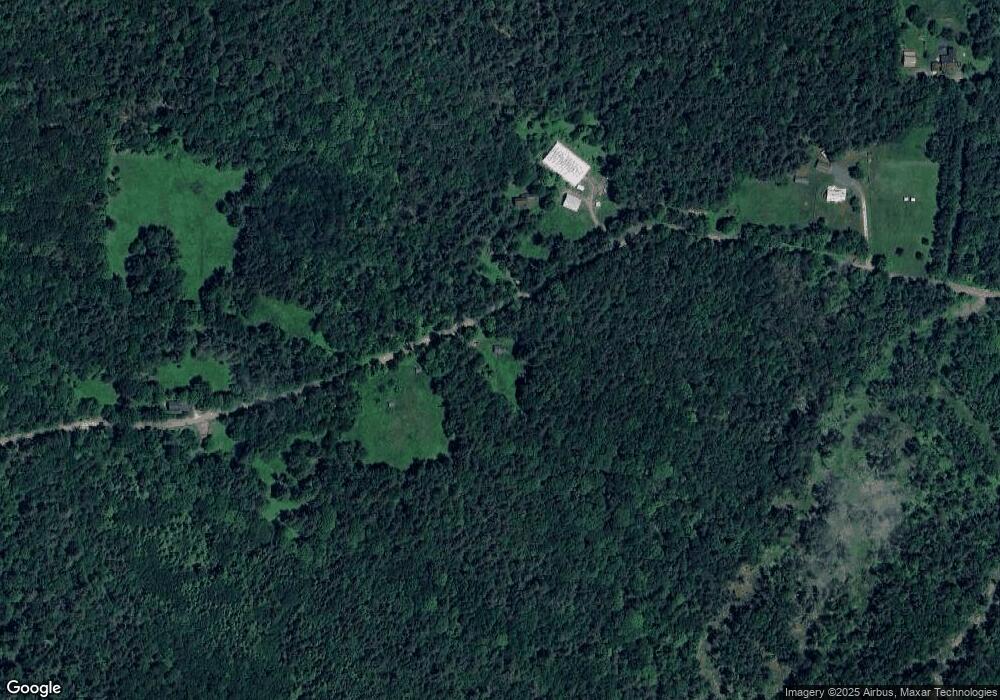
Map
Nearby Homes
- 237 Trouble St
- 23 E Windsor Rd
- 458 Old Rd N
- 00 Yale Rd
- lot 20 Parish Rd
- lot 16 Pierce Rd
- lot 18 Pierce Rd
- lot 19 Pierce Rd
- lot 17 Pierce Rd
- 1689 E Windsor Rd
- 54 Porter Hill Rd
- 155 River Rd
- 19 Buffington Hill Rd
- 138 Ridge Rd
- 32 Williamsburg Rd
- 17 Bonny Ln
- 90 Williamsburg Rd
- 10 Maple St
- 0 E Windsor Rd
- LOT 1 Thayer Hill Rd
- Lot 3R Trouble St
- 122 Trouble St
- 140 Trouble St
- 98 Trouble St
- 15 Honey Hill Rd
- 1 Honey Hill Rd
- 71 Trouble St
- 167 Trouble St
- 74 Trouble St
- 176 Trouble St
- 58 Trouble St
- 0 Pleasant St
- 14 Pleasant St
- 187 Trouble St
- 49 Pleasant St
- 117 Powell Rd
- 113 Powell Rd
- 48 Trouble St
- 190 Trouble St
- 0- 13-21 Powell Rd