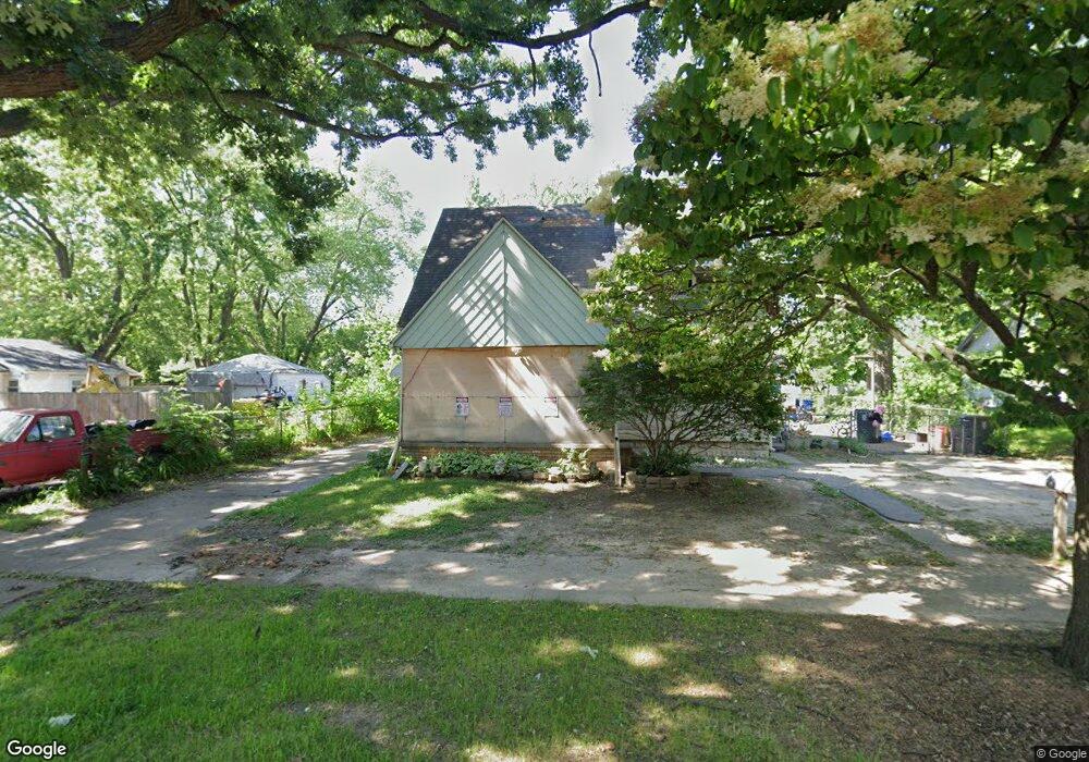
1230 Alvord Ave Flint, MI 48507
Westgate NeighborhoodEstimated Value: $68,160 - $93,000
3
Beds
2
Baths
1,504
Sq Ft
$51/Sq Ft
Est. Value
About This Home
This home is located at 1230 Alvord Ave, Flint, MI 48507 and is currently estimated at $77,040, approximately $51 per square foot. 1230 Alvord Ave is a home located in Genesee County with nearby schools including Neithercut Elementary School, Flint Southwestern Classical Academy, and International Academy of Flint (K-12).
Ownership History
Date
Name
Owned For
Owner Type
Purchase Details
Closed on
Apr 26, 2002
Sold by
Fous Larry L and Fous Joan M
Bought by
Fous Larry L and Fous Joan M
Current Estimated Value
Home Financials for this Owner
Home Financials are based on the most recent Mortgage that was taken out on this home.
Original Mortgage
$68,000
Interest Rate
7.18%
Create a Home Valuation Report for This Property
The Home Valuation Report is an in-depth analysis detailing your home's value as well as a comparison with similar homes in the area
Home Values in the Area
Average Home Value in this Area
Purchase History
| Date | Buyer | Sale Price | Title Company |
|---|---|---|---|
| Fous Larry L | -- | Centennial Title & Abstract |
Source: Public Records
Mortgage History
| Date | Status | Borrower | Loan Amount |
|---|---|---|---|
| Closed | Fous Larry L | $68,000 |
Source: Public Records
Tax History Compared to Growth
Tax History
| Year | Tax Paid | Tax Assessment Tax Assessment Total Assessment is a certain percentage of the fair market value that is determined by local assessors to be the total taxable value of land and additions on the property. | Land | Improvement |
|---|---|---|---|---|
| 2025 | $2,001 | $29,500 | $0 | $0 |
| 2024 | $1,854 | $30,300 | $0 | $0 |
| 2023 | $1,805 | $24,200 | $0 | $0 |
| 2022 | $0 | $23,300 | $0 | $0 |
| 2021 | $1,799 | $20,900 | $0 | $0 |
| 2020 | $1,653 | $20,900 | $0 | $0 |
| 2019 | $1,440 | $21,300 | $0 | $0 |
| 2018 | $1,615 | $18,800 | $0 | $0 |
| 2017 | $1,692 | $0 | $0 | $0 |
| 2016 | $1,248 | $0 | $0 | $0 |
| 2015 | -- | $0 | $0 | $0 |
| 2014 | -- | $0 | $0 | $0 |
| 2012 | -- | $23,200 | $0 | $0 |
Source: Public Records
Map
Nearby Homes
- 1234 Huron St
- 1310 Huron St
- 1318 Ingleside Ave
- 1329 Huron St
- 1416 Blackberry Ln
- 1212 Crawford St
- 1418 Blueberry Ln
- 1031 Ingleside Ave
- 1228 Leland St
- 1015 Alvord Ave
- 1122 Markham St
- 1607 Mulberry Ln
- 1039 Markham St
- 1410 Berrywood Ln
- 1826 Greenbrook Ln
- 1028 Campbell St
- 1902 Crestbrook Ln
- 1225 Waldman Ave
- 1102 W Atherton Rd
- 4418 Brunswick Ave
- 1232 Alvord Ave
- 1220 Alvord Ave
- 1240 Alvord Ave
- 1302 Alvord Ave
- 1231 Crawford St
- 1223 Crawford St
- 1235 Crawford St
- 1219 Crawford St
- 1241 Crawford St
- 1233 Alvord Ave
- 1231 Alvord Ave
- 1310 Alvord Ave
- 1301 Crawford St
- 1215 Crawford St
- 1221 Alvord Ave
- 1241 Alvord Ave
- 1305 Crawford St
- 4122 Tuxedo Ave
- 4126 Tuxedo Ave
- 4118 Tuxedo Ave