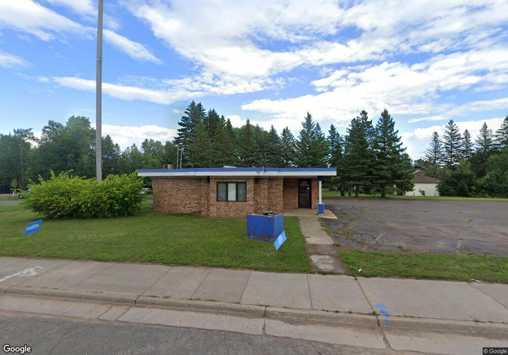
1230 Commonwealth Ave Duluth, MN 55808
Gary-New Duluth NeighborhoodEstimated Value: $243,293
Studio
--
Bath
1,008
Sq Ft
$241/Sq Ft
Est. Value
About This Home
This home is located at 1230 Commonwealth Ave, Duluth, MN 55808 and is currently estimated at $243,293, approximately $241 per square foot. 1230 Commonwealth Ave is a home located in St. Louis County with nearby schools including Stowe Elementary School, Lincoln Park Middle School, and Denfeld High School.
Ownership History
Date
Name
Owned For
Owner Type
Purchase Details
Closed on
May 2, 2011
Sold by
Park State Bank
Bought by
Shelton Properties Llc
Current Estimated Value
Home Financials for this Owner
Home Financials are based on the most recent Mortgage that was taken out on this home.
Original Mortgage
$95,900
Interest Rate
6%
Mortgage Type
Seller Take Back
Create a Home Valuation Report for This Property
The Home Valuation Report is an in-depth analysis detailing your home's value as well as a comparison with similar homes in the area
Home Values in the Area
Average Home Value in this Area
Purchase History
| Date | Buyer | Sale Price | Title Company |
|---|---|---|---|
| Shelton Properties Llc | $105,900 | None Available |
Source: Public Records
Mortgage History
| Date | Status | Borrower | Loan Amount |
|---|---|---|---|
| Closed | Shelton Properties Llc | $95,900 |
Source: Public Records
Tax History
| Year | Tax Paid | Tax Assessment Tax Assessment Total Assessment is a certain percentage of the fair market value that is determined by local assessors to be the total taxable value of land and additions on the property. | Land | Improvement |
|---|---|---|---|---|
| 2024 | $5,888 | $133,100 | $31,000 | $102,100 |
| 2023 | $5,888 | $133,100 | $31,000 | $102,100 |
| 2022 | $4,422 | $165,300 | $55,300 | $110,000 |
| 2021 | $4,320 | $165,300 | $55,300 | $110,000 |
| 2020 | $2,688 | $165,300 | $55,300 | $110,000 |
| 2019 | $2,670 | $110,100 | $44,500 | $65,600 |
| 2018 | $2,526 | $110,100 | $44,500 | $65,600 |
| 2017 | $3,208 | $110,100 | $44,500 | $65,600 |
| 2016 | $3,182 | $0 | $0 | $0 |
| 2015 | $3,300 | $110,100 | $44,500 | $65,600 |
| 2014 | $3,300 | $110,100 | $44,500 | $65,600 |
Source: Public Records
Map
Nearby Homes
- 1xx E Gary St
- 1219 96th Ave W
- 1215 103rd Ave W
- 1325 104th Ave W
- 13xx 99th Ave W
- 10 Glencrest Ct
- 23 Coban Dr
- 29 Burger Dr
- 119 96th Ave W
- XXX Commonwealth Ave
- 1063 86th Ave W
- 1010 85th Ave W
- TBD Arbor St
- 9118 Gogebic St
- 125 Goldys Way
- 8408 Potters Place
- 8313 Eric Shaffer Way
- 121 Kayak View
- 8620 Maynard Place
- 8602 Maynard Place
- 1302 Commonwealth Ave
- 1229 Commonwealth Ave
- 1219 99th Ave W
- 1308 Commonwealth Ave
- 1305 1305 99th Ave W
- 1305 99th Ave W
- 1314 Commonwealth Ave
- 1207 99th Ave W
- 1309 99th Ave W
- 1214 101st Ave W
- 1212 99th Ave W
- 102 E Gary St
- 426 4th St W
- 1315 Commonwealth Ave
- 1310 101st Ave W
- 1210 101st Ave W
- 1312 101st Ave W
- 1317 99th Ave W
- 1206 99th Ave W
- 1221 98th Ave W
Your Personal Tour Guide
Ask me questions while you tour the home.