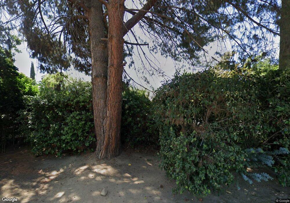
1230 E Swift Ave Fresno, CA 93704
Fig Garden NeighborhoodEstimated Value: $529,000 - $748,000
4
Beds
3
Baths
2,481
Sq Ft
$247/Sq Ft
Est. Value
About This Home
This home is located at 1230 E Swift Ave, Fresno, CA 93704 and is currently estimated at $613,585, approximately $247 per square foot. 1230 E Swift Ave is a home with nearby schools including Powers-Ginsburg Elementary, Bullard High School, and Aspen Meadow Public School.
Ownership History
Date
Name
Owned For
Owner Type
Purchase Details
Closed on
May 9, 2018
Sold by
Lindsay Donald R and Lindsay Judy E
Bought by
Lindsay Donald R and Lindsay Judy E
Current Estimated Value
Purchase Details
Closed on
Jun 21, 1996
Sold by
Tan Henry K
Bought by
Lindsay Donald R and Lindsay Judy E
Home Financials for this Owner
Home Financials are based on the most recent Mortgage that was taken out on this home.
Original Mortgage
$112,000
Interest Rate
8.32%
Create a Home Valuation Report for This Property
The Home Valuation Report is an in-depth analysis detailing your home's value as well as a comparison with similar homes in the area
Home Values in the Area
Average Home Value in this Area
Purchase History
| Date | Buyer | Sale Price | Title Company |
|---|---|---|---|
| Lindsay Donald R | -- | None Available | |
| Lindsay Donald R | $140,000 | Stewart Title |
Source: Public Records
Mortgage History
| Date | Status | Borrower | Loan Amount |
|---|---|---|---|
| Previous Owner | Lindsay Donald R | $112,000 |
Source: Public Records
Tax History Compared to Growth
Tax History
| Year | Tax Paid | Tax Assessment Tax Assessment Total Assessment is a certain percentage of the fair market value that is determined by local assessors to be the total taxable value of land and additions on the property. | Land | Improvement |
|---|---|---|---|---|
| 2025 | $3,309 | $267,178 | $120,608 | $146,570 |
| 2023 | $3,118 | $256,806 | $115,926 | $140,880 |
| 2022 | $3,075 | $251,771 | $113,653 | $138,118 |
| 2021 | $2,988 | $246,835 | $111,425 | $135,410 |
| 2020 | $2,975 | $244,305 | $110,283 | $134,022 |
| 2019 | $2,858 | $239,516 | $108,121 | $131,395 |
| 2018 | $2,794 | $234,820 | $106,001 | $128,819 |
| 2017 | $2,745 | $230,217 | $103,923 | $126,294 |
| 2016 | $2,652 | $225,704 | $101,886 | $123,818 |
| 2015 | $2,610 | $222,315 | $100,356 | $121,959 |
| 2014 | $2,558 | $217,961 | $98,391 | $119,570 |
Source: Public Records
Map
Nearby Homes
- 4266 N College Ave
- 1408 E Richert Ave
- 4355 N College Ave
- 1406 E Hampton Way
- 1403 E Griffith Way
- 1448 E Gettysburg Ave
- 1216 E Pico Ave
- 820 E Gettysburg Ave
- 4012 N Wishon Ave
- 1212 E Saginaw Way
- 1020 E Saginaw Way
- 1135 E Lansing Way
- 4175 N Van Ness Blvd
- 1898 E Gettysburg Ave Unit 107
- 1911 E Saginaw Way
- 2108 E Sussex Way
- 1135 E Santa Ana Ave
- 625 E Lansing Way
- 4136 N Thesta St Unit 36
- 4136 N Thesta St
- 4249 N Del Mar Ave
- 1202 E Swift Ave
- 1239 E Swift Ave
- 1310 E Swift Ave
- 1221 E Swift Ave
- 4264 N Del Mar Ave
- 1307 E Swift Ave
- 1149 E Swift Ave
- 1328 E Swift Ave
- 4227 N Del Mar Ave
- 1329 E Austin Way
- 1321 E Swift Ave
- 1112 E Swift Ave
- 4339 N Del Mar Ave
- 1312 E Austin Way
- 1105 E Swift Ave
- 1306 E Richert Ave
- 1335 E Swift Ave
- 1346 E Swift Ave
- 1347 E Austin Way
