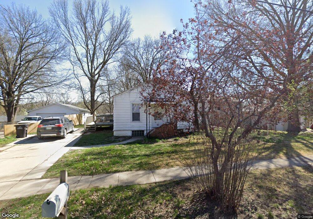
1230 Evans St Des Moines, IA 50315
Watrous South NeighborhoodEstimated Value: $164,000 - $193,000
2
Beds
1
Bath
1,056
Sq Ft
$170/Sq Ft
Est. Value
About This Home
This home is located at 1230 Evans St, Des Moines, IA 50315 and is currently estimated at $179,997, approximately $170 per square foot. 1230 Evans St is a home located in Polk County with nearby schools including Wright Elementary School, Brody Middle School, and Lincoln High School.
Ownership History
Date
Name
Owned For
Owner Type
Purchase Details
Closed on
Feb 20, 2014
Sold by
First Contract Corp
Bought by
Andreini Ryan
Current Estimated Value
Purchase Details
Closed on
Dec 5, 2012
Sold by
Samann Llc
Bought by
First Contract Corp
Purchase Details
Closed on
Apr 1, 2011
Sold by
Samann Lc
Bought by
Calhoun Nikki Rae
Home Financials for this Owner
Home Financials are based on the most recent Mortgage that was taken out on this home.
Original Mortgage
$58,000
Interest Rate
8.5%
Mortgage Type
Seller Take Back
Purchase Details
Closed on
Mar 31, 2011
Sold by
West Bank
Bought by
Samann Lc
Home Financials for this Owner
Home Financials are based on the most recent Mortgage that was taken out on this home.
Original Mortgage
$58,000
Interest Rate
8.5%
Mortgage Type
Seller Take Back
Purchase Details
Closed on
Jan 13, 2011
Sold by
Castellano Moses R and Castellano Jill R
Bought by
West Bank
Create a Home Valuation Report for This Property
The Home Valuation Report is an in-depth analysis detailing your home's value as well as a comparison with similar homes in the area
Home Values in the Area
Average Home Value in this Area
Purchase History
| Date | Buyer | Sale Price | Title Company |
|---|---|---|---|
| Andreini Ryan | $32,000 | None Available | |
| First Contract Corp | -- | None Available | |
| Calhoun Nikki Rae | $65,000 | None Available | |
| Samann Lc | $32,500 | None Available | |
| West Bank | $92,953 | None Available |
Source: Public Records
Mortgage History
| Date | Status | Borrower | Loan Amount |
|---|---|---|---|
| Previous Owner | Calhoun Nikki Rae | $58,000 |
Source: Public Records
Tax History Compared to Growth
Tax History
| Year | Tax Paid | Tax Assessment Tax Assessment Total Assessment is a certain percentage of the fair market value that is determined by local assessors to be the total taxable value of land and additions on the property. | Land | Improvement |
|---|---|---|---|---|
| 2025 | $2,598 | $176,900 | $38,600 | $138,300 |
| 2024 | $2,598 | $132,100 | $33,700 | $98,400 |
| 2023 | $2,300 | $155,100 | $33,700 | $121,400 |
| 2022 | $2,282 | $120,600 | $27,700 | $92,900 |
| 2021 | $2,228 | $120,600 | $27,700 | $92,900 |
| 2020 | $2,316 | $112,300 | $25,900 | $86,400 |
| 2019 | $2,034 | $112,300 | $25,900 | $86,400 |
| 2018 | $2,014 | $98,700 | $22,600 | $76,100 |
| 2017 | $1,888 | $98,700 | $22,600 | $76,100 |
| 2016 | $1,840 | $92,800 | $21,000 | $71,800 |
| 2015 | $1,840 | $92,800 | $21,000 | $71,800 |
| 2014 | $1,886 | $71,000 | $19,200 | $51,800 |
Source: Public Records
Map
Nearby Homes
- 1229 Evans St
- 4916 SW 13th St
- 1243 Hackley Ave
- 1116 Herold Ave
- 1203 Herold Ave
- 1223 Emma Ave
- 1207 Emma Ave
- 936 Mckinley Ave Unit 14
- 5013 SW 16th St
- 5120 SW 14th St
- 930 Emma Ave
- 1204 Elder Ln
- 1207 Kenyon Ave
- 4710 SW 16th St
- 1219 Elder Ln
- . Herold Ave
- 1605 Frazier Ave
- 1401 Cutler Ave
- 4108 SW 12th St
- 4020 SW 12th St