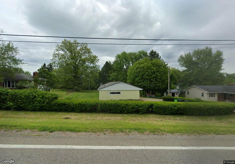
1230 Friendship Dr New Concord, OH 43762
Estimated Value: $169,000 - $213,000
3
Beds
2
Baths
1,120
Sq Ft
$177/Sq Ft
Est. Value
About This Home
This home is located at 1230 Friendship Dr, New Concord, OH 43762 and is currently estimated at $198,133, approximately $176 per square foot. 1230 Friendship Dr is a home located in Muskingum County with nearby schools including New Concord Elementary School, East Muskingum Middle School, and Larry Miller Intermediate Elementary School.
Ownership History
Date
Name
Owned For
Owner Type
Purchase Details
Closed on
Jul 30, 2025
Sold by
Tom Family Safe Harbor Trust and Sampson Susan M
Bought by
Sampson Susan M and Sampson Brandon N
Current Estimated Value
Purchase Details
Closed on
Nov 22, 2010
Sold by
Tom Joseph L and Tom Robin J
Bought by
Tom Brian J and The Tom Family Safe Harbor Tru
Purchase Details
Closed on
Jan 11, 2000
Sold by
Best Violet A
Bought by
Tom Joseph L and Tom Robin S
Create a Home Valuation Report for This Property
The Home Valuation Report is an in-depth analysis detailing your home's value as well as a comparison with similar homes in the area
Home Values in the Area
Average Home Value in this Area
Purchase History
| Date | Buyer | Sale Price | Title Company |
|---|---|---|---|
| Sampson Susan M | -- | None Listed On Document | |
| Tom Brian J | -- | None Available | |
| Tom Joseph L | $65,800 | -- |
Source: Public Records
Tax History Compared to Growth
Tax History
| Year | Tax Paid | Tax Assessment Tax Assessment Total Assessment is a certain percentage of the fair market value that is determined by local assessors to be the total taxable value of land and additions on the property. | Land | Improvement |
|---|---|---|---|---|
| 2024 | $1,474 | $41,090 | $6,370 | $34,720 |
| 2023 | $1,175 | $30,275 | $5,530 | $24,745 |
| 2022 | $1,155 | $30,275 | $5,530 | $24,745 |
| 2021 | $1,142 | $30,275 | $5,530 | $24,745 |
| 2020 | $1,172 | $30,275 | $5,530 | $24,745 |
| 2019 | $1,149 | $30,275 | $5,530 | $24,745 |
| 2018 | $1,173 | $30,275 | $5,530 | $24,745 |
| 2017 | $1,041 | $25,802 | $5,537 | $20,265 |
| 2016 | $990 | $24,500 | $5,530 | $18,970 |
| 2015 | $1,005 | $24,500 | $5,530 | $18,970 |
| 2013 | $1,570 | $24,500 | $5,530 | $18,970 |
Source: Public Records
Map
Nearby Homes
- 1165 Friendship Dr
- 930 Friendship Dr
- 760 Friendship Dr
- 12985 John Glenn School Rd
- 154 Montgomery Blvd
- 53 Paden Rd
- 8 E Main St
- 67 E Main St
- 0 Maple Ln
- 275 Fox Creek Rd
- 1420 Glenn Hwy
- 60936 Patch Rd
- 225 Homestead Dr
- 2895 N Moose Eye Rd
- Lot 18 & 19 Greenbriar Dr
- 0 Norfield Unit 5124761
- 0 Norfield Unit 5113681
- 61220 Kadon Dr
- 10545 Main St
- 60040 Bliss Rd
- 1250 Friendship Dr
- 0 St Rt 83 Unit 8905283
- 0 Sr 83 Unit 309433
- 0 Sr 83 Unit 8906672
- 0 State Route 83 Unit 3608589
- 0 State Route 83 Unit 3922261
- 0 State Route 83 Unit 4442925
- 0 Sr 83 Unit 3178352
- 0 State Route 83 Unit 4355824
- 0 Sr 83 Unit 4104040
- 195 Hillcrest Dr
- 193 Hillcrest Dr
- 1140 Friendship Dr
- 194 Hillcrest Dr
- 192 Hillcrest Dr
- 191 Hillcrest Dr
- 1145 Friendship Dr
- 1245 Friendship Dr
- 190 Hillcrest Dr
- 1110 Friendship Dr