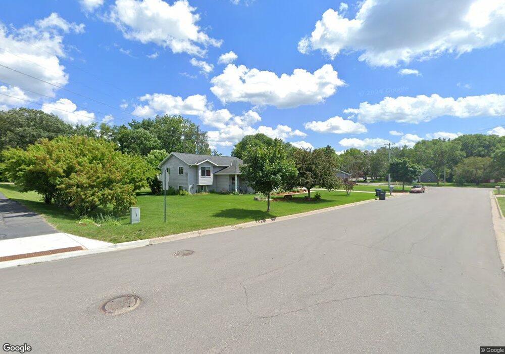
1230 Lenore Way Fergus Falls, MN 56537
Estimated Value: $301,379 - $314,000
4
Beds
2
Baths
2,128
Sq Ft
$145/Sq Ft
Est. Value
About This Home
This home is located at 1230 Lenore Way, Fergus Falls, MN 56537 and is currently estimated at $307,845, approximately $144 per square foot. 1230 Lenore Way is a home located in Otter Tail County with nearby schools including McKinley Elementary School, Cleveland Elementary School, and Adams Elementary School.
Ownership History
Date
Name
Owned For
Owner Type
Purchase Details
Closed on
May 5, 2017
Sold by
Stroud Rodney Rodney
Bought by
Formo David and Formo Rebecca
Current Estimated Value
Home Financials for this Owner
Home Financials are based on the most recent Mortgage that was taken out on this home.
Original Mortgage
$170,000
Outstanding Balance
$141,877
Interest Rate
4.23%
Estimated Equity
$165,968
Create a Home Valuation Report for This Property
The Home Valuation Report is an in-depth analysis detailing your home's value as well as a comparison with similar homes in the area
Home Values in the Area
Average Home Value in this Area
Purchase History
| Date | Buyer | Sale Price | Title Company |
|---|---|---|---|
| Formo David | $170,000 | -- |
Source: Public Records
Mortgage History
| Date | Status | Borrower | Loan Amount |
|---|---|---|---|
| Open | Formo David | $170,000 |
Source: Public Records
Tax History Compared to Growth
Tax History
| Year | Tax Paid | Tax Assessment Tax Assessment Total Assessment is a certain percentage of the fair market value that is determined by local assessors to be the total taxable value of land and additions on the property. | Land | Improvement |
|---|---|---|---|---|
| 2025 | $2,954 | $263,400 | $22,000 | $241,400 |
| 2024 | $3,022 | $258,100 | $22,000 | $236,100 |
| 2023 | $2,854 | $243,400 | $22,000 | $221,400 |
| 2022 | $2,710 | $285,400 | $0 | $0 |
| 2021 | $2,696 | $243,400 | $22,000 | $221,400 |
| 2020 | $2,616 | $211,000 | $20,300 | $190,700 |
| 2019 | $2,498 | $191,700 | $20,300 | $171,400 |
| 2018 | $2,302 | $191,700 | $20,300 | $171,400 |
| 2017 | $2,254 | $182,400 | $17,700 | $164,700 |
| 2016 | $2,106 | $170,300 | $17,700 | $152,600 |
| 2015 | $1,996 | $0 | $0 | $0 |
| 2014 | -- | $167,100 | $17,700 | $149,400 |
Source: Public Records
Map
Nearby Homes
- 1024 Circle Ln
- 1604 Somerset Rd
- 1110 Water Plant Rd
- 1216 College St
- 1410 Ridgewood Dr
- 1854 Buck Ridge Dr
- 702 E Beech Ave
- TBD Valley Dr
- 517 Valley Dr
- 1235 Mitchell Place
- 1225 E Mount Faith Ave
- 1523 Ironwood Rd
- 1034 E Mount Faith Ave
- 1213 N Aurdal Ave
- 904 N Aurdal Ave
- 1240 Northern Ave
- 408 E Beech Ave
- 1502 Viking Ct
- 314 E Cecil Ave
- 214 E Cherry Ave
- 1224 Lenore Way
- 1332 E Fir Ave
- 1227 Lenore Way
- 1420 E Fir Ave
- 1218 Lenore Way
- 1326 E Fir Ave
- 1219 Lenore Way
- 1335 Foothill Ct
- 1323 Lenore Way
- 1346 Foothill Ct
- 1340 Foothill Ct
- 1329 Foothill Ct
- 1337 Lenore Way
- 1208 Lenore Way
- 1439 Terrace Dr
- 1334 Foothill Ct
- 1435 Terrace Dr
- 1340 Lenore Way
- 1340 Lenore Way
- 1310 E Fir Ave