1230 Makinster Rd Tillamook, OR 97141
Estimated Value: $537,000 - $620,000
3
Beds
3
Baths
2,646
Sq Ft
$218/Sq Ft
Est. Value
About This Home
This home is located at 1230 Makinster Rd, Tillamook, OR 97141 and is currently estimated at $577,812, approximately $218 per square foot. 1230 Makinster Rd is a home with nearby schools including Tillamook High School.
Ownership History
Date
Name
Owned For
Owner Type
Purchase Details
Closed on
Oct 9, 2013
Sold by
Krupicka Thomas M and Krupicka Annette E
Bought by
Krupicka Thomas M and Krupicka Annette E
Current Estimated Value
Purchase Details
Closed on
Jan 22, 2010
Sold by
Krupicka Tom and Krupicka Annette
Bought by
Krupicka Thomas M and Krupicka Annette E
Home Financials for this Owner
Home Financials are based on the most recent Mortgage that was taken out on this home.
Original Mortgage
$200,000
Outstanding Balance
$61,248
Interest Rate
4.91%
Mortgage Type
New Conventional
Estimated Equity
$516,564
Purchase Details
Closed on
Oct 26, 2009
Sold by
Paradis Phillip
Bought by
Krupicka Tom and Krupicka Annette
Purchase Details
Closed on
Jan 17, 2005
Sold by
Markovich Caroll Ann and Kasch Gregory Alan
Bought by
Kasch John
Purchase Details
Closed on
Jan 14, 2005
Sold by
Kasch John
Bought by
Paradis Phillip
Create a Home Valuation Report for This Property
The Home Valuation Report is an in-depth analysis detailing your home's value as well as a comparison with similar homes in the area
Home Values in the Area
Average Home Value in this Area
Purchase History
| Date | Buyer | Sale Price | Title Company |
|---|---|---|---|
| Krupicka Thomas M | -- | None Available | |
| Krupicka Thomas M | -- | First American | |
| Krupicka Tom | $75,000 | None Available | |
| Kasch John | -- | First American | |
| Paradis Phillip | $55,000 | First American |
Source: Public Records
Mortgage History
| Date | Status | Borrower | Loan Amount |
|---|---|---|---|
| Open | Krupicka Thomas M | $200,000 |
Source: Public Records
Tax History Compared to Growth
Tax History
| Year | Tax Paid | Tax Assessment Tax Assessment Total Assessment is a certain percentage of the fair market value that is determined by local assessors to be the total taxable value of land and additions on the property. | Land | Improvement |
|---|---|---|---|---|
| 2024 | $3,463 | $341,780 | $79,580 | $262,200 |
| 2023 | $3,442 | $331,830 | $77,260 | $254,570 |
| 2022 | $3,321 | $322,170 | $75,010 | $247,160 |
| 2021 | $3,222 | $312,790 | $72,820 | $239,970 |
| 2020 | $3,134 | $303,680 | $70,700 | $232,980 |
| 2019 | $3,110 | $294,840 | $68,640 | $226,200 |
| 2018 | $3,036 | $286,260 | $66,640 | $219,620 |
| 2017 | $2,956 | $277,930 | $64,700 | $213,230 |
| 2016 | $2,843 | $269,840 | $62,810 | $207,030 |
| 2015 | $2,797 | $261,990 | $60,980 | $201,010 |
| 2014 | $2,735 | $254,360 | $59,200 | $195,160 |
| 2013 | -- | $246,960 | $57,480 | $189,480 |
Source: Public Records
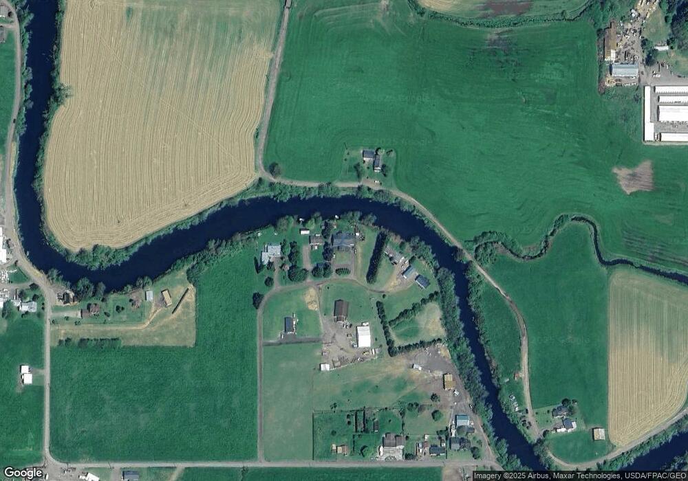
Map
Nearby Homes
- 0 Makinster Rd Unit 1902 24-656
- 0 Makinster Rd Unit 1902 24205450
- 0 Ellen Ave
- 0 Tl2402 Alderbrook Rd
- 0 Tl2400 Alderbrook Rd
- 3960 Latimer Rd
- 17805 U S 101
- 1307 3rd St
- 315 Birch Ave
- 1708 4th St
- 2506 1st St
- 1703 4th St
- 00101 Wilson River Hwy
- 00201 Wilson River Hwy
- TL #00101 Wilson River Hwy
- TL# 02100 Wilson River Hwy
- Parcel 1 Wilson River Hwy
- Parcel 2 Wilson River Hwy
- 500 etc. Wilson River Hwy
- 412 Birch Ave
- 1250 Makinster Rd
- 1150 Makinster Rd
- 1330 Makinster Rd
- 1260 Makinster Rd
- 3300 Boquist Rd N
- 910 Makinster Rd
- 0 V L Makinster 1902 Rd
- 1410 Makinster Rd
- 1420 Makinster Rd
- 1530 Makinster Rd
- 100 Makinster Rd
- 940 Makinster Rd
- 3170 Boquist Rd N
- 1615 Makinster Rd
- 0 V L Makinster 2201 Rd
- 1655 Makinster Rd
- 905 Makinster Rd
- 3530 Highway 101 N
- 0 Makinster Rd Unit 2201 23540473
- 0 Makinster Rd Unit 1902 23215974