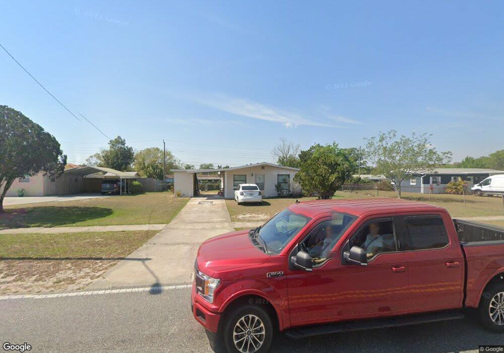
1230 N Singleton Ave Titusville, FL 32796
Estimated Value: $186,000 - $217,000
3
Beds
2
Baths
864
Sq Ft
$228/Sq Ft
Est. Value
About This Home
This home is located at 1230 N Singleton Ave, Titusville, FL 32796 and is currently estimated at $197,318, approximately $228 per square foot. 1230 N Singleton Ave is a home located in Brevard County with nearby schools including Oak Park Elementary School, James Madison Middle School, and Astronaut High School.
Ownership History
Date
Name
Owned For
Owner Type
Purchase Details
Closed on
Oct 5, 2018
Sold by
Quinney Elden L
Bought by
Agee Leonard
Current Estimated Value
Purchase Details
Closed on
Sep 19, 2005
Sold by
Cross Howard Helga I
Bought by
Quinney Elden
Home Financials for this Owner
Home Financials are based on the most recent Mortgage that was taken out on this home.
Original Mortgage
$100,000
Interest Rate
6.5%
Mortgage Type
Seller Take Back
Create a Home Valuation Report for This Property
The Home Valuation Report is an in-depth analysis detailing your home's value as well as a comparison with similar homes in the area
Home Values in the Area
Average Home Value in this Area
Purchase History
| Date | Buyer | Sale Price | Title Company |
|---|---|---|---|
| Agee Leonard | -- | None Available | |
| Quinney Elden | $110,000 | Fidelity Natl Title Ins Co |
Source: Public Records
Mortgage History
| Date | Status | Borrower | Loan Amount |
|---|---|---|---|
| Previous Owner | Quinney Elden | $100,000 |
Source: Public Records
Tax History Compared to Growth
Tax History
| Year | Tax Paid | Tax Assessment Tax Assessment Total Assessment is a certain percentage of the fair market value that is determined by local assessors to be the total taxable value of land and additions on the property. | Land | Improvement |
|---|---|---|---|---|
| 2025 | $2,095 | $109,700 | -- | -- |
| 2024 | $2,108 | $107,960 | -- | -- |
| 2023 | $2,108 | $123,140 | $0 | $0 |
| 2022 | $1,877 | $113,720 | $0 | $0 |
| 2021 | $1,691 | $80,870 | $40,000 | $40,870 |
| 2020 | $1,700 | $79,930 | $40,000 | $39,930 |
| 2019 | $1,728 | $77,470 | $26,000 | $51,470 |
| 2018 | $437 | $38,800 | $0 | $0 |
| 2017 | $424 | $38,010 | $0 | $0 |
| 2016 | $327 | $37,230 | $18,000 | $19,230 |
| 2015 | $332 | $36,980 | $15,500 | $21,480 |
| 2014 | $327 | $36,690 | $15,500 | $21,190 |
Source: Public Records
Map
Nearby Homes
- 1336 Wilderness Ln
- 3340 Marshall St
- 1212 Crescent Dr
- 1290 Dale Dr
- 1148 N Singleton Ave
- 1144 N Singleton Ave
- 3000 Rosemarie Dr
- 2922 Rosemarie Dr
- 0000 N Singleton Ave
- 3031 Pembrooke Rd
- 2943 Pembrooke Rd
- 3538 Dairy Rd Unit 4
- 3514 Dairy Rd Unit 10
- 3539 Nikon Ct
- 2870 Starlight Dr
- 1470 Kodak Dr
- 3105 Diamond Rd
- 1558 Pentax Ave
- 1541 Wakefield Terrace
- 3920 Dairy Rd
- 1220 N Singleton Ave
- 1240 N Singleton Ave
- 1245 Cornwall Dr
- 1265 Cornwall Dr
- 1225 Cornwall Dr
- 3245 Parkland St
- 1210 N Singleton Ave
- 1205 Cornwall Dr
- 3220 Parkland St
- 3280 Marshall St
- 1210 Dale Dr
- 1220 Dale Dr
- 3265 Marshall St
- 1195 Cornwall Dr
- 3240 Parkland St
- 3285 Parkland St
- 3240 Carnegie St
- 3300 Marshall St
- 3285 Marshall St