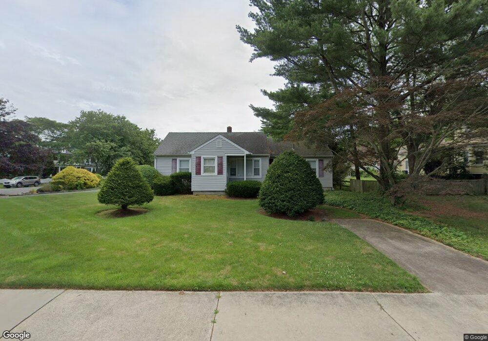
1230 Shore Rd Linwood, NJ 08221
Estimated Value: $335,316
--
Bed
--
Bath
1,264
Sq Ft
$265/Sq Ft
Est. Value
About This Home
This home is located at 1230 Shore Rd, Linwood, NJ 08221 and is currently estimated at $335,316, approximately $265 per square foot. 1230 Shore Rd is a home located in Atlantic County with nearby schools including Seaview Elementary School, Belhaven Middle School, and Mainland Regional High School.
Ownership History
Date
Name
Owned For
Owner Type
Purchase Details
Closed on
Aug 9, 2022
Sold by
Haynes Thomas C
Bought by
Makai Properties Llc
Current Estimated Value
Home Financials for this Owner
Home Financials are based on the most recent Mortgage that was taken out on this home.
Original Mortgage
$240,000
Interest Rate
5.13%
Mortgage Type
Seller Take Back
Purchase Details
Closed on
Nov 19, 2001
Sold by
Haynes Thomas C and Haynes Wanda V
Bought by
Haynes Thomas C
Purchase Details
Closed on
May 5, 1999
Sold by
Capasso & Haynes Land Partnership
Bought by
Haynes Thomas C and Haynes Wanda
Purchase Details
Closed on
Jan 30, 1995
Sold by
Flori Catherine A
Bought by
Capasso & Haynes Land Partnership
Create a Home Valuation Report for This Property
The Home Valuation Report is an in-depth analysis detailing your home's value as well as a comparison with similar homes in the area
Home Values in the Area
Average Home Value in this Area
Purchase History
| Date | Buyer | Sale Price | Title Company |
|---|---|---|---|
| Makai Properties Llc | $250,000 | Surety Title | |
| Haynes Thomas C | -- | -- | |
| Haynes Thomas C | -- | -- | |
| Capasso & Haynes Land Partnership | $170,000 | Commonwealth Land Title Ins |
Source: Public Records
Mortgage History
| Date | Status | Borrower | Loan Amount |
|---|---|---|---|
| Previous Owner | Makai Properties Llc | $240,000 |
Source: Public Records
Tax History Compared to Growth
Tax History
| Year | Tax Paid | Tax Assessment Tax Assessment Total Assessment is a certain percentage of the fair market value that is determined by local assessors to be the total taxable value of land and additions on the property. | Land | Improvement |
|---|---|---|---|---|
| 2025 | $9,641 | $252,700 | $122,000 | $130,700 |
| 2024 | $9,641 | $252,700 | $122,000 | $130,700 |
| 2023 | $9,193 | $252,700 | $122,000 | $130,700 |
| 2022 | $9,193 | $252,700 | $122,000 | $130,700 |
| 2021 | $9,112 | $252,700 | $122,000 | $130,700 |
| 2020 | $8,986 | $252,700 | $122,000 | $130,700 |
| 2019 | $8,794 | $252,700 | $122,000 | $130,700 |
| 2018 | $8,597 | $252,700 | $122,000 | $130,700 |
| 2017 | $8,425 | $252,700 | $122,000 | $130,700 |
| 2016 | $8,142 | $252,700 | $122,000 | $130,700 |
| 2015 | $8,150 | $252,700 | $122,000 | $130,700 |
| 2014 | $7,834 | $252,700 | $122,000 | $130,700 |
Source: Public Records
Map
Nearby Homes
- 1201 Woodlynne Blvd
- 23 Cambridge Unit 23
- 120 W Devonshire Ave
- 7 Woodstock Dr
- 1050 Shore Rd
- 1917 Ventnor Ave
- 209 Berkshire Ave
- 15 Elm Ave
- 208 Balfour Ave
- 229 Landing Ln
- 102 Morris Ave
- 103 Country Club Dr
- 110 E Patcong Ave
- 933 Oak Grove Ave
- 108 Holly Ln
- 921 Oak Grove Ave
- 407 Jefferson Ave
- 4 Princeton Ln
- 209 Belhaven Ave
- 901 Oak Ave
- 1236 Shore Rd
- 5 E Essex Ave
- 16 E Devonshire Ave
- 1212 Shore Rd
- 1235 Shore Rd
- 7 E Essex Ave
- 18 E Devonshire Ave
- 6 E Essex Ave
- 3 E Devonshire Ave
- 18 W Devonshire Ave
- 33 E Devonshire Ave
- 11 E Essex Ave
- 1210 Shore Rd
- 1303 Shore Rd
- 22 E Devonshire Ave
- 1221 Woodlynne Blvd
- 2 Cambridge Ave
- 1202 Shore Rd
- 9 Glenside Ave