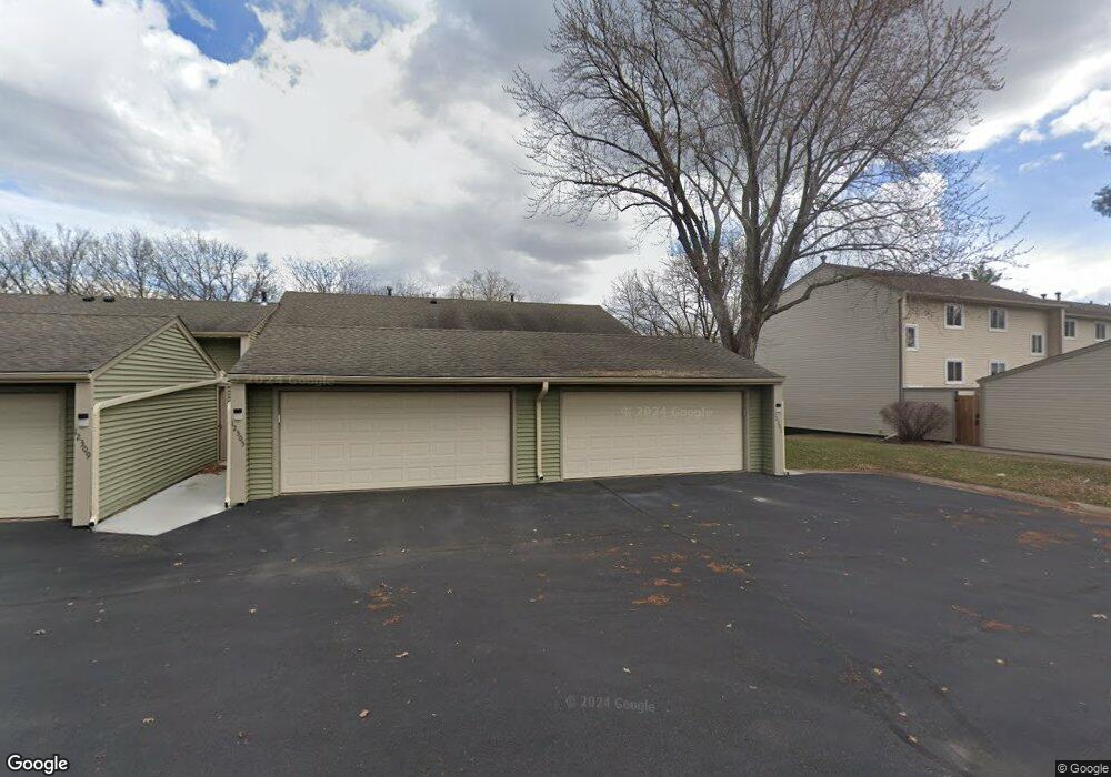
12301 Drake St NW Coon Rapids, MN 55448
Estimated Value: $262,000 - $270,541
3
Beds
2
Baths
1,745
Sq Ft
$152/Sq Ft
Est. Value
About This Home
This home is located at 12301 Drake St NW, Coon Rapids, MN 55448 and is currently estimated at $265,385, approximately $152 per square foot. 12301 Drake St NW is a home located in Anoka County with nearby schools including Lucile Bruner Elementary School, Sand Creek Elementary School, and Laughlin Junior/Senior High School.
Ownership History
Date
Name
Owned For
Owner Type
Purchase Details
Closed on
Jul 24, 2020
Bought by
Hase Brian Brian
Current Estimated Value
Home Financials for this Owner
Home Financials are based on the most recent Mortgage that was taken out on this home.
Interest Rate
3.01%
Purchase Details
Closed on
Aug 16, 2001
Sold by
Estate Of Marvin M Dynes
Bought by
Broten Kathleen M
Create a Home Valuation Report for This Property
The Home Valuation Report is an in-depth analysis detailing your home's value as well as a comparison with similar homes in the area
Home Values in the Area
Average Home Value in this Area
Purchase History
| Date | Buyer | Sale Price | Title Company |
|---|---|---|---|
| Hase Brian Brian | $227,300 | -- | |
| Broten Kathleen M | $135,000 | -- |
Source: Public Records
Mortgage History
| Date | Status | Borrower | Loan Amount |
|---|---|---|---|
| Closed | Hase Brian Brian | -- |
Source: Public Records
Tax History Compared to Growth
Tax History
| Year | Tax Paid | Tax Assessment Tax Assessment Total Assessment is a certain percentage of the fair market value that is determined by local assessors to be the total taxable value of land and additions on the property. | Land | Improvement |
|---|---|---|---|---|
| 2025 | $2,489 | $241,400 | $40,000 | $201,400 |
| 2024 | $2,489 | $240,700 | $40,000 | $200,700 |
| 2023 | $2,311 | $236,000 | $40,000 | $196,000 |
| 2022 | $2,076 | $235,500 | $35,000 | $200,500 |
| 2021 | $2,182 | $191,400 | $38,000 | $153,400 |
| 2020 | $2,065 | $195,800 | $25,000 | $170,800 |
| 2019 | $1,827 | $179,500 | $25,000 | $154,500 |
| 2018 | $1,803 | $156,600 | $0 | $0 |
| 2017 | $1,452 | $150,700 | $0 | $0 |
| 2016 | $1,371 | $116,000 | $0 | $0 |
| 2015 | $1,116 | $116,000 | $16,200 | $99,800 |
| 2014 | -- | $94,000 | $6,000 | $88,000 |
Source: Public Records
Map
Nearby Homes
- 12463 Drake St NW
- 1625 124th Ave NW
- 1450 126th Ln NW
- 1727 121st Ln NW
- 12365 Jay St NW
- 12010 Eagle St NW
- 1593 126th Ln NW
- 12554 Grouse St NW
- 1449 119th Ln NW
- 12488 Unity St NW
- 12796 Bluebird St NW
- 11852 Yellow Pine St NW
- 1234 128th Cir NW
- 11923 Wintergreen St NW
- 1520 129th Ave NW
- 899 123rd Ln NW
- 1930 127th Cir NW
- 2068 124th Ln NW
- 1660 Northdale Blvd NW
- 2147 125th Ln NW
- 12305 Drake St NW
- 12309 Drake St NW
- 12293 Drake St NW
- 12289 Drake St NW
- 12313 Drake St NW
- 12285 Drake St NW
- 12317 Drake St NW
- 12281 Drake St NW
- 12321 Drake St NW
- 12277 Drake St NW
- 12273 Drake St NW
- 12269 Drake St NW
- 12329 Drake St NW
- 12296 Drake St NW
- 12322 Drake St NW
- 12333 Drake St NW
- 12324 Drake St NW
- 12292 Drake St NW
- 12337 Drake St NW
- 12292 12292 Drake-Street-nw