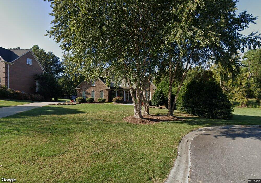
1231 Bugle Ln Newton, NC 28658
Estimated Value: $688,000 - $799,000
5
Beds
5
Baths
4,504
Sq Ft
$165/Sq Ft
Est. Value
About This Home
This home is located at 1231 Bugle Ln, Newton, NC 28658 and is currently estimated at $744,680, approximately $165 per square foot. 1231 Bugle Ln is a home located in Catawba County with nearby schools including Startown Elementary School, Maiden Middle School, and Maiden High School.
Ownership History
Date
Name
Owned For
Owner Type
Purchase Details
Closed on
Apr 20, 2006
Sold by
Pruitt & Huntley Llc
Bought by
Berry Mick W and Berry Elizabeth C
Current Estimated Value
Home Financials for this Owner
Home Financials are based on the most recent Mortgage that was taken out on this home.
Original Mortgage
$330,400
Outstanding Balance
$181,424
Interest Rate
5.25%
Mortgage Type
Construction
Estimated Equity
$563,256
Create a Home Valuation Report for This Property
The Home Valuation Report is an in-depth analysis detailing your home's value as well as a comparison with similar homes in the area
Home Values in the Area
Average Home Value in this Area
Purchase History
| Date | Buyer | Sale Price | Title Company |
|---|---|---|---|
| Berry Mick W | $35,000 | None Available |
Source: Public Records
Mortgage History
| Date | Status | Borrower | Loan Amount |
|---|---|---|---|
| Open | Berry Mick W | $330,400 |
Source: Public Records
Tax History
| Year | Tax Paid | Tax Assessment Tax Assessment Total Assessment is a certain percentage of the fair market value that is determined by local assessors to be the total taxable value of land and additions on the property. | Land | Improvement |
|---|---|---|---|---|
| 2025 | $5,282 | $649,000 | $42,000 | $607,000 |
| 2024 | $5,282 | $618,900 | $42,000 | $576,900 |
| 2023 | $5,282 | $618,900 | $42,000 | $576,900 |
| 2022 | $5,441 | $452,500 | $42,000 | $410,500 |
| 2021 | $5,441 | $452,500 | $42,000 | $410,500 |
| 2020 | $5,260 | $452,500 | $42,000 | $410,500 |
| 2019 | $5,260 | $452,500 | $0 | $0 |
| 2018 | $4,892 | $428,600 | $42,000 | $386,600 |
| 2017 | $4,892 | $0 | $0 | $0 |
| 2016 | $4,892 | $0 | $0 | $0 |
| 2015 | $4,251 | $428,630 | $42,000 | $386,630 |
| 2014 | $4,251 | $412,700 | $43,200 | $369,500 |
Source: Public Records
Map
Nearby Homes
- 1043 Rolling Green Dr
- 1616 Lazenby St Unit 17
- 00 Herbie Cir
- 1953 Milton St Unit 36
- 2461 Startown Rd
- 0 Lampert St Unit 5-8
- 2560 Celestial Dr
- 1221 Willow Creek Dr
- 1148 Fye Dr
- 1852 Wrenley Dr
- 1848 Wrenley Dr
- 1844 Wrenley Dr
- 2919 Teton Dr
- 3007 Michelle Dr
- 2301 Willow Creek Dr
- 3266 Eller Dr
- 3274 Eller Dr
- 3266 Eller Drive Exten
- 3287 Eller Drive Extension
- 3283 Eller Drive Extension
Your Personal Tour Guide
Ask me questions while you tour the home.