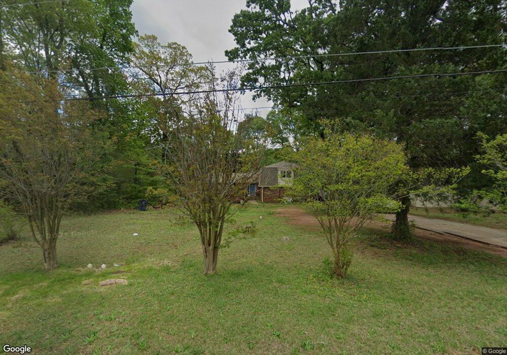
1231 Kenyon Rd Morrow, GA 30260
Estimated Value: $240,817 - $286,000
4
Beds
4
Baths
2,340
Sq Ft
$114/Sq Ft
Est. Value
About This Home
This home is located at 1231 Kenyon Rd, Morrow, GA 30260 and is currently estimated at $266,954, approximately $114 per square foot. 1231 Kenyon Rd is a home located in Clayton County with nearby schools including Lake City Elementary School, Babb Middle School, and Forest Park High School.
Ownership History
Date
Name
Owned For
Owner Type
Purchase Details
Closed on
Apr 25, 2016
Sold by
America Assets Management Llc
Bought by
Tran Phuong Hoang
Current Estimated Value
Purchase Details
Closed on
Jan 5, 2016
Sold by
Livernois Dorothy
Bought by
America Assets Management Llc
Purchase Details
Closed on
Apr 2, 2001
Sold by
Livernois Roland J
Bought by
Livernois Dorothy I
Create a Home Valuation Report for This Property
The Home Valuation Report is an in-depth analysis detailing your home's value as well as a comparison with similar homes in the area
Home Values in the Area
Average Home Value in this Area
Purchase History
| Date | Buyer | Sale Price | Title Company |
|---|---|---|---|
| Tran Phuong Hoang | $107,500 | -- | |
| America Assets Management Llc | $57,000 | -- | |
| Livernois Dorothy I | -- | -- |
Source: Public Records
Tax History Compared to Growth
Tax History
| Year | Tax Paid | Tax Assessment Tax Assessment Total Assessment is a certain percentage of the fair market value that is determined by local assessors to be the total taxable value of land and additions on the property. | Land | Improvement |
|---|---|---|---|---|
| 2024 | $3,255 | $83,440 | $8,800 | $74,640 |
| 2023 | $3,056 | $84,640 | $8,800 | $75,840 |
| 2022 | $2,468 | $62,880 | $8,800 | $54,080 |
| 2021 | $2,265 | $57,360 | $8,800 | $48,560 |
| 2020 | $2,159 | $53,986 | $8,800 | $45,186 |
| 2019 | $2,064 | $50,832 | $6,400 | $44,432 |
| 2018 | $1,992 | $49,065 | $6,400 | $42,665 |
| 2017 | $1,687 | $41,453 | $6,400 | $35,053 |
| 2016 | $1,498 | $41,969 | $6,400 | $35,569 |
| 2015 | $1,487 | $0 | $0 | $0 |
| 2014 | $1,773 | $50,977 | $6,400 | $44,577 |
Source: Public Records
Map
Nearby Homes
- 1167 Sanders Dr
- 1112 Reynolds Ct Unit 4
- 5489 Ahyoka Dr
- 98 Werner Brook Way SW
- 5068 Lorraine Place
- 843 White Oak Dr
- 1615 Dellwood Cir
- 0 Ash St Unit 10563129
- 1063 Pine Mountain Dr
- 5570 Ash St
- 1638 Dellwood Cir
- 5344 Sharon St
- 965 Cone Rd
- 5355 Sharon St
- 5690 Cypress Dr
- 804 Linda Way
- 1343 Burbank Trail
- 791 Alice St
- 1124 Ponderosa Park Dr
- 5012 East St
- 1241 Kenyon Rd Unit 1
- 1249 Kenyon Rd Unit 1
- 1230 Tsali Trail
- 1209 Kenyon Rd
- 5424 White Dr
- 1220 Tsali Trail
- 1240 Tsali Trail
- 1248 Tsali Trail
- 1259 Kenyon Rd
- 1233 Sanders Way Unit 2
- 1208 Tsali Trail
- 1225 Sanders Way
- 1241 Sanders Way
- 1258 Tsali Trail
- 1217 Sanders Way
- 5417 Wahsega Way
- 1249 Sanders
- 1249 Sanders Way Unit 3
- 5427 Wahsega Way Unit 1
- 1211 Sanders Way