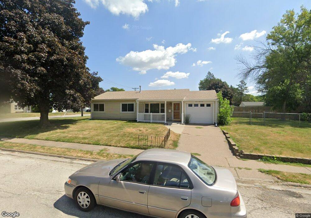
1231 N Elmwood Ave Davenport, IA 52804
West End NeighborhoodEstimated Value: $132,207 - $175,000
3
Beds
1
Bath
1,066
Sq Ft
$140/Sq Ft
Est. Value
About This Home
This home is located at 1231 N Elmwood Ave, Davenport, IA 52804 and is currently estimated at $148,802, approximately $139 per square foot. 1231 N Elmwood Ave is a home located in Scott County with nearby schools including Walnut Hill Elementary School, South Christian Elementary School, and Wilson Elementary School.
Ownership History
Date
Name
Owned For
Owner Type
Purchase Details
Closed on
Dec 21, 2020
Sold by
Moraetes Megan A
Bought by
Moraetes Megan A
Current Estimated Value
Purchase Details
Closed on
Jul 8, 2005
Sold by
Pence William S
Bought by
Moraetes Teresa A
Home Financials for this Owner
Home Financials are based on the most recent Mortgage that was taken out on this home.
Original Mortgage
$71,825
Interest Rate
5.68%
Mortgage Type
New Conventional
Create a Home Valuation Report for This Property
The Home Valuation Report is an in-depth analysis detailing your home's value as well as a comparison with similar homes in the area
Home Values in the Area
Average Home Value in this Area
Purchase History
| Date | Buyer | Sale Price | Title Company |
|---|---|---|---|
| Moraetes Megan A | -- | None Available | |
| Moraetes Teresa A | $84,500 | None Available |
Source: Public Records
Mortgage History
| Date | Status | Borrower | Loan Amount |
|---|---|---|---|
| Closed | Moraetes Teresa A | $71,825 |
Source: Public Records
Tax History Compared to Growth
Tax History
| Year | Tax Paid | Tax Assessment Tax Assessment Total Assessment is a certain percentage of the fair market value that is determined by local assessors to be the total taxable value of land and additions on the property. | Land | Improvement |
|---|---|---|---|---|
| 2025 | $1,968 | $128,020 | $26,680 | $101,340 |
| 2024 | $1,920 | $110,140 | $26,680 | $83,460 |
| 2023 | $2,158 | $110,140 | $26,680 | $83,460 |
| 2022 | $2,168 | $101,010 | $23,720 | $77,290 |
| 2021 | $2,168 | $101,010 | $23,720 | $77,290 |
| 2020 | $1,880 | $91,890 | $23,720 | $68,170 |
| 2019 | $1,948 | $95,310 | $23,720 | $71,590 |
| 2018 | $1,902 | $95,310 | $23,720 | $71,590 |
| 2017 | $1,974 | $95,310 | $23,720 | $71,590 |
| 2016 | $1,898 | $95,370 | $0 | $0 |
| 2015 | $1,898 | $94,640 | $0 | $0 |
| 2014 | $1,908 | $94,640 | $0 | $0 |
| 2013 | $1,872 | $0 | $0 | $0 |
| 2012 | -- | $86,340 | $22,160 | $64,180 |
Source: Public Records
Map
Nearby Homes
- 2449 W 13th St
- 1230 N Elmwood Ave
- 1203 N Thornwood Ave
- 1119 N Thornwood Ave
- 1107 N Thornwood Ave
- 926 Cimarron Dr
- 2417 W 18th St
- 2102 W 17th St
- 1922 N Pine St
- 2114 Telegraph Rd
- 511 Waverly Rd
- 3117 Schuetzen Ln
- 2024 W 6th St
- 1145 Waverly Rd
- 1215 Waverly Rd
- 2101 W 5th St
- 2243 W 4th St
- 2223 W Lombard St
- 2103 W High St
- 1854 W 8th St
- 2445 W 13th St
- 1207 N Elmwood Ave
- 2439 W 13th St
- 1153 N Linwood Ave
- 1305 N Elmwood Ave
- 2511 W 13th St
- 2450 W 13th St
- 1304 N Elmwood Ave
- 1147 N Linwood Ave
- 2435 W 13th St
- 2446 W 13th St
- 2440 W 13th St
- 2510 W 13th St
- 1208 N Elmwood Ave
- 1141 N Linwood Ave
- 2517 W 13th St
- 2429 W 13th St
- 1215 N Thornwood Ave
- 2436 W 13th St
- 2518 W 13th St