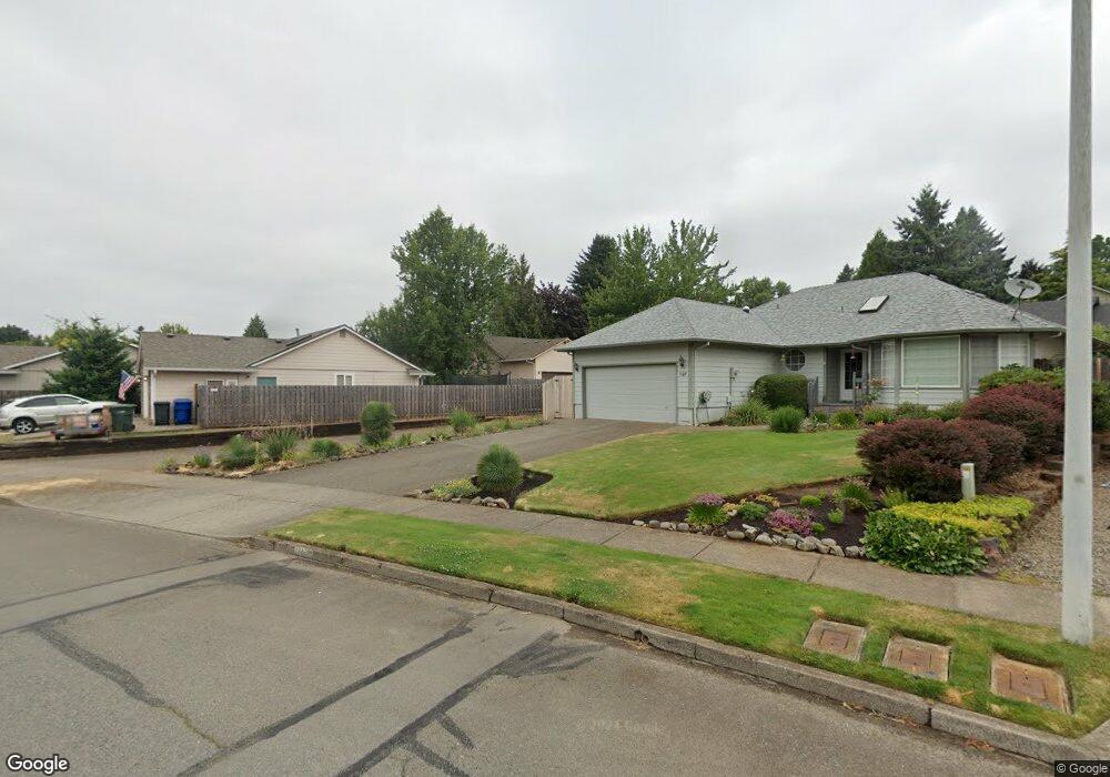
1231 Rock Creek Dr S Salem, OR 97306
Sunnyslope NeighborhoodEstimated Value: $418,591 - $451,000
3
Beds
2
Baths
1,381
Sq Ft
$314/Sq Ft
Est. Value
About This Home
This home is located at 1231 Rock Creek Dr S, Salem, OR 97306 and is currently estimated at $433,148, approximately $313 per square foot. 1231 Rock Creek Dr S is a home located in Marion County with nearby schools including Liberty Elementary School, Crossler Middle School, and Sprague High School.
Ownership History
Date
Name
Owned For
Owner Type
Purchase Details
Closed on
Aug 7, 2009
Sold by
Trump Enterprises Llc
Bought by
Coggin Dana T
Current Estimated Value
Purchase Details
Closed on
Nov 8, 2006
Sold by
Trump Robert D and Trump Trina R
Bought by
Trump Enterprises Llc
Home Financials for this Owner
Home Financials are based on the most recent Mortgage that was taken out on this home.
Original Mortgage
$168,000
Interest Rate
6.3%
Mortgage Type
Unknown
Purchase Details
Closed on
Sep 26, 2006
Sold by
Drew Shawn M and Drew Lisa J
Bought by
Trump Enterprises Llc
Home Financials for this Owner
Home Financials are based on the most recent Mortgage that was taken out on this home.
Original Mortgage
$168,000
Interest Rate
6.3%
Mortgage Type
Unknown
Purchase Details
Closed on
May 7, 2004
Sold by
Drew Shawn M and Drew Lisa J
Bought by
Drew Shawn M
Create a Home Valuation Report for This Property
The Home Valuation Report is an in-depth analysis detailing your home's value as well as a comparison with similar homes in the area
Home Values in the Area
Average Home Value in this Area
Purchase History
| Date | Buyer | Sale Price | Title Company |
|---|---|---|---|
| Coggin Dana T | $185,000 | First American | |
| Trump Enterprises Llc | -- | Ticor Title | |
| Trump Robert D | -- | Ticor Title | |
| Trump Enterprises Llc | $162,000 | First American Title Ins Co | |
| Drew Shawn M | -- | -- |
Source: Public Records
Mortgage History
| Date | Status | Borrower | Loan Amount |
|---|---|---|---|
| Previous Owner | Trump Robert D | $168,000 |
Source: Public Records
Tax History Compared to Growth
Tax History
| Year | Tax Paid | Tax Assessment Tax Assessment Total Assessment is a certain percentage of the fair market value that is determined by local assessors to be the total taxable value of land and additions on the property. | Land | Improvement |
|---|---|---|---|---|
| 2025 | $3,986 | $209,090 | -- | -- |
| 2024 | $3,986 | $203,000 | -- | -- |
| 2023 | $3,868 | $197,090 | $0 | $0 |
| 2022 | $3,647 | $191,350 | $0 | $0 |
| 2021 | $3,543 | $185,780 | $0 | $0 |
| 2020 | $3,440 | $180,370 | $0 | $0 |
| 2019 | $3,319 | $175,120 | $0 | $0 |
| 2018 | $3,377 | $0 | $0 | $0 |
| 2017 | $3,048 | $0 | $0 | $0 |
| 2016 | $2,904 | $0 | $0 | $0 |
| 2015 | $2,926 | $0 | $0 | $0 |
| 2014 | $2,798 | $0 | $0 | $0 |
Source: Public Records
Map
Nearby Homes
- 5401 E Ridge St S
- 5441 Mohawk Ct S
- 5270 Chapman St S
- 5275 Parker Ct S
- 1394 Hayward St S
- 116 Rolling Hills Ave SE
- 1055 Big Fir Place S
- 158 Rolling Hills Ave SE
- 5727 Joynak St S
- 1874 Cedarcrest Dr S
- 5555 Red Leaf Dr S
- 231 Carnelia St SE
- 5555 Salinas Ct S
- 1977 Maplewood Ct S
- 112 Summit View Ave SE
- 253 Eider Ave SE
- 1884 Skyline Village Loop S
- 119 Duniway Ct SE
- 184 Summit View Ave SE
- 5042 Cumberland Ct SE Unit 18
- 1213 Rock Creek Dr S
- 1255 Rock Creek Dr S
- 1277 Rock Creek Dr S
- 1187 Rock Creek Dr S
- 5468 E Ridge St S
- 1199 Rock Creek Dr S
- 5458 E Ridge St S
- 1240 Tamara Ave S
- 1260 Tamara Ave S
- 5478 E Ridge St S
- 1220 Tamara Ave S
- 1293 Rock Creek Dr S
- 1280 Tamara Ave S
- 1200 Tamara Ave S
- 1163 Rock Creek Dr S
- 1170 Rock Creek Dr S
- 1244 Rock Creek Dr S
- 1182 Rock Creek Dr S
- 1268 Rock Creek Dr S
- 1133 Rock Creek Dr S