1231 Saline Rd Fenton, MO 63026
Estimated Value: $232,101 - $400,000
--
Bed
--
Bath
6,818
Sq Ft
$43/Sq Ft
Est. Value
About This Home
This home is located at 1231 Saline Rd, Fenton, MO 63026 and is currently estimated at $293,700, approximately $43 per square foot. 1231 Saline Rd is a home with nearby schools including Northwest High School, Messenger Christian School, and Our Savior Lutheran Church & School.
Ownership History
Date
Name
Owned For
Owner Type
Purchase Details
Closed on
May 13, 2024
Sold by
Block Gerald A and Block Anne Marie
Bought by
Jefferson Cnty Fin'L Svcs Inc
Current Estimated Value
Purchase Details
Closed on
Jan 29, 2004
Sold by
Dostal Jacqueline A and Dostal Robert
Bought by
Block Gerald A and Block Anne Marie G
Home Financials for this Owner
Home Financials are based on the most recent Mortgage that was taken out on this home.
Original Mortgage
$128,000
Interest Rate
5.88%
Mortgage Type
New Conventional
Create a Home Valuation Report for This Property
The Home Valuation Report is an in-depth analysis detailing your home's value as well as a comparison with similar homes in the area
Home Values in the Area
Average Home Value in this Area
Purchase History
| Date | Buyer | Sale Price | Title Company |
|---|---|---|---|
| Jefferson Cnty Fin'L Svcs Inc | $5,063 | None Listed On Document | |
| Block Gerald A | -- | -- |
Source: Public Records
Mortgage History
| Date | Status | Borrower | Loan Amount |
|---|---|---|---|
| Previous Owner | Block Gerald A | $128,000 |
Source: Public Records
Tax History Compared to Growth
Tax History
| Year | Tax Paid | Tax Assessment Tax Assessment Total Assessment is a certain percentage of the fair market value that is determined by local assessors to be the total taxable value of land and additions on the property. | Land | Improvement |
|---|---|---|---|---|
| 2025 | $1,748 | $24,200 | $7,000 | $17,200 |
| 2024 | $1,748 | $23,700 | $7,000 | $16,700 |
| 2023 | $1,748 | $23,700 | $7,000 | $16,700 |
| 2022 | $1,614 | $21,900 | $5,200 | $16,700 |
| 2021 | $1,659 | $21,900 | $5,200 | $16,700 |
| 2020 | $1,602 | $20,600 | $5,000 | $15,600 |
| 2019 | $1,603 | $20,600 | $5,000 | $15,600 |
| 2018 | $1,591 | $20,600 | $5,000 | $15,600 |
| 2017 | $1,534 | $20,600 | $5,000 | $15,600 |
| 2016 | $1,357 | $18,300 | $5,000 | $13,300 |
| 2015 | $1,317 | $18,300 | $5,000 | $13,300 |
| 2013 | -- | $17,000 | $6,700 | $10,300 |
Source: Public Records
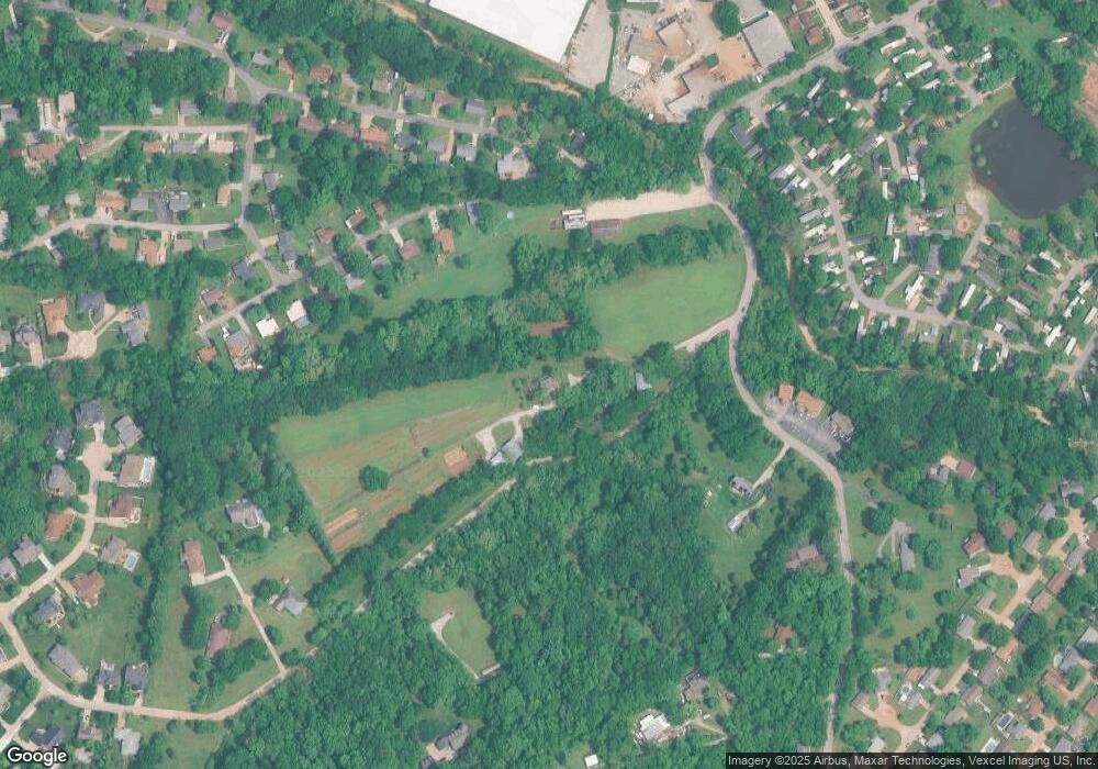
Map
Nearby Homes
- 72 Patricia Place
- 772 Islamorada Dr
- 2 Delores Dr
- 1531 Winding Meadows Dr
- 2 Ashford Winding Meadows
- 1536 Winding Meadows Dr
- 1520 Winding Meadows Dr
- 1516 Winding Meadows Dr
- 2 Aspen at Winding Meadows
- 1564 Winding Meadows Dr
- 368 Winding Bluffs Ct
- 2 Berwick at Winding Meadows
- 373 Winding Bluffs Ct
- 388 Winding Bluffs Ct
- 356 Winding Bluffs Ct
- 2 Aspen II at Winding Meadows
- 317 Winding Bluffs Ct
- 39 Pansy Dr Unit 39
- 1999 Saline Rd
- 35 Pansy Dr Unit 35