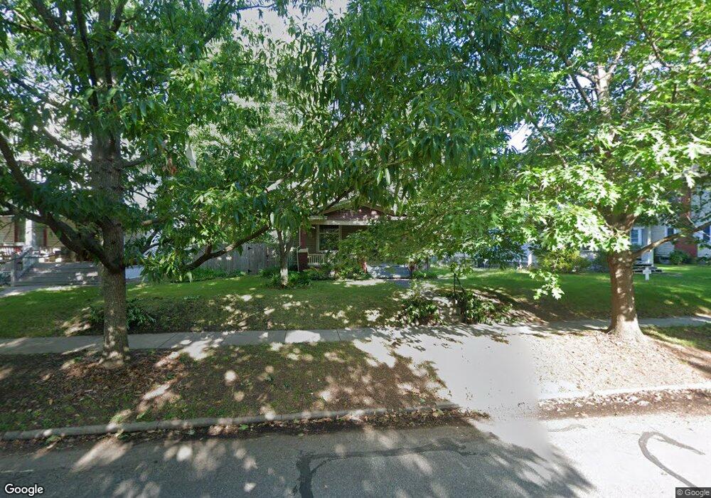
1231 SW Mulvane St Topeka, KS 66604
Elmhurst NeighborhoodEstimated Value: $166,000 - $185,333
3
Beds
2
Baths
2,241
Sq Ft
$78/Sq Ft
Est. Value
About This Home
This home is located at 1231 SW Mulvane St, Topeka, KS 66604 and is currently estimated at $174,833, approximately $78 per square foot. 1231 SW Mulvane St is a home located in Shawnee County with nearby schools including Lowman Hill Elementary School, Landon Middle School, and Topeka High School.
Ownership History
Date
Name
Owned For
Owner Type
Purchase Details
Closed on
Oct 19, 2009
Sold by
Spomer Ian
Bought by
Greiti Joseph and Swank Deborah
Current Estimated Value
Purchase Details
Closed on
Nov 8, 2007
Sold by
Secretary Of Housing & Urban Development
Bought by
Spomer Ian
Home Financials for this Owner
Home Financials are based on the most recent Mortgage that was taken out on this home.
Original Mortgage
$75,000
Interest Rate
6.38%
Mortgage Type
Purchase Money Mortgage
Purchase Details
Closed on
Apr 20, 2007
Sold by
Villagracia Juan L
Bought by
Wells Fargo Home Mortgage
Create a Home Valuation Report for This Property
The Home Valuation Report is an in-depth analysis detailing your home's value as well as a comparison with similar homes in the area
Home Values in the Area
Average Home Value in this Area
Purchase History
| Date | Buyer | Sale Price | Title Company |
|---|---|---|---|
| Greiti Joseph | -- | First American Title | |
| Spomer Ian | -- | Columbian Title Of Topeka | |
| Wells Fargo Home Mortgage | -- | Lawyers Title Of Topeka Inc |
Source: Public Records
Mortgage History
| Date | Status | Borrower | Loan Amount |
|---|---|---|---|
| Previous Owner | Spomer Ian | $75,000 |
Source: Public Records
Tax History Compared to Growth
Tax History
| Year | Tax Paid | Tax Assessment Tax Assessment Total Assessment is a certain percentage of the fair market value that is determined by local assessors to be the total taxable value of land and additions on the property. | Land | Improvement |
|---|---|---|---|---|
| 2025 | $2,677 | $19,710 | -- | -- |
| 2023 | $2,677 | $17,884 | $0 | $0 |
| 2022 | $2,313 | $15,552 | $0 | $0 |
| 2021 | $2,119 | $13,523 | $0 | $0 |
| 2020 | $1,993 | $12,879 | $0 | $0 |
| 2019 | $1,965 | $12,626 | $0 | $0 |
| 2018 | $1,908 | $12,258 | $0 | $0 |
| 2017 | $1,874 | $12,018 | $0 | $0 |
| 2014 | $1,812 | $11,515 | $0 | $0 |
Source: Public Records
Map
Nearby Homes
- 1216 SW College Ave
- 1224 SW Garfield Ave
- 1327 SW College Ave
- 1156 SW Woodward Ave
- 1225 SW Throop St
- 1500 SW Mulvane St
- 1717 SW 15th St
- 1531 SW 15th St
- 1421 SW Jewell Ave
- 1164 SW MacVicar Ave
- 1281 SW Buchanan St
- 1181 SW MacVicar Ave
- 1527 SW Mulvane St
- 1432 SW MacVicar Ave
- 2012 SW 10th Ave
- 1503 SW MacVicar Ave
- 2516 SW Huntoon St
- 0 SW Buchanan St
- 1022 SW MacVicar Ave
- 1031 SW Clay St
- 1225 SW Mulvane St
- 1235 SW Mulvane St
- 1221 SW Mulvane St
- 1702 SW Huntoon St
- 1708 SW Huntoon St
- 1228 SW College Ave
- 1230 SW College Ave
- 1217 SW Mulvane St
- 1226 SW College Ave
- 1712 SW Huntoon St
- 1220 SW College Ave
- 1226 SW Mulvane St
- 1230 SW Mulvane St
- 1215 SW Mulvane St
- 1240 SW College Ave
- 1240 SW College Ave
- 1234 SW Mulvane St
- 1224 SW Mulvane St
- 1220 SW Mulvane St
- 1238 SW Mulvane St