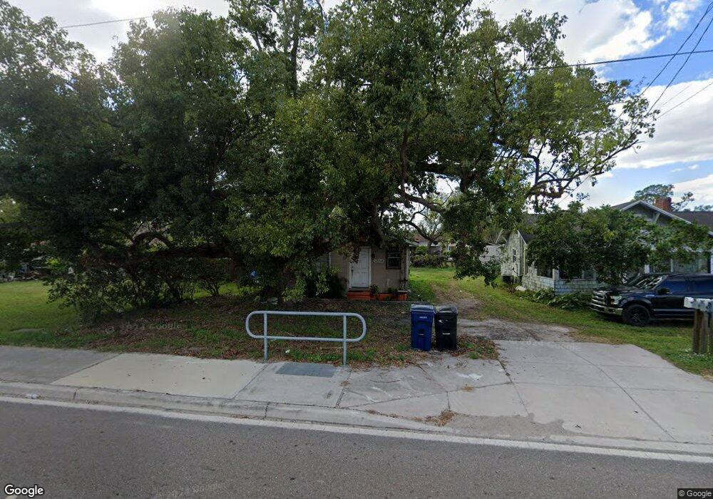
12312 Us Highway 301 N Parrish, FL 34219
Estimated Value: $121,634 - $279,000
2
Beds
1
Bath
750
Sq Ft
$289/Sq Ft
Est. Value
About This Home
This home is located at 12312 Us Highway 301 N, Parrish, FL 34219 and is currently estimated at $216,909, approximately $289 per square foot. 12312 Us Highway 301 N is a home located in Manatee County with nearby schools including Barbara A. Harvey Elementary School, Buffalo Creek Middle School, and Parrish Community High School.
Ownership History
Date
Name
Owned For
Owner Type
Purchase Details
Closed on
Nov 19, 2013
Sold by
Williams Maxene B
Bought by
Parks James E
Current Estimated Value
Home Financials for this Owner
Home Financials are based on the most recent Mortgage that was taken out on this home.
Original Mortgage
$225,000
Interest Rate
4.26%
Mortgage Type
Seller Take Back
Purchase Details
Closed on
Jan 29, 1997
Sold by
Davis H Forbes and Davis Nan S
Bought by
Forbes Davis Family Ltd Ptnr
Purchase Details
Closed on
Aug 16, 1993
Sold by
Britt Aleyne E and Britt Mack G
Bought by
Williams Royce Mack
Home Financials for this Owner
Home Financials are based on the most recent Mortgage that was taken out on this home.
Original Mortgage
$11,000
Interest Rate
7.26%
Create a Home Valuation Report for This Property
The Home Valuation Report is an in-depth analysis detailing your home's value as well as a comparison with similar homes in the area
Home Values in the Area
Average Home Value in this Area
Purchase History
| Date | Buyer | Sale Price | Title Company |
|---|---|---|---|
| Parks James E | $275,000 | Attorney | |
| Forbes Davis Family Ltd Ptnr | $77,000 | -- | |
| Williams Royce Mack | -- | -- |
Source: Public Records
Mortgage History
| Date | Status | Borrower | Loan Amount |
|---|---|---|---|
| Closed | Parks James E | $225,000 | |
| Previous Owner | Williams Royce Mack | $11,000 |
Source: Public Records
Tax History Compared to Growth
Tax History
| Year | Tax Paid | Tax Assessment Tax Assessment Total Assessment is a certain percentage of the fair market value that is determined by local assessors to be the total taxable value of land and additions on the property. | Land | Improvement |
|---|---|---|---|---|
| 2025 | $1,078 | $53,382 | $14,633 | $38,749 |
| 2024 | $1,078 | $61,087 | $14,633 | $46,454 |
| 2023 | $1,078 | $61,087 | $14,633 | $46,454 |
| 2022 | $996 | $55,632 | $16,036 | $39,596 |
| 2021 | $494 | $42,480 | $16,036 | $26,444 |
| 2020 | $771 | $38,981 | $13,788 | $25,193 |
| 2019 | $759 | $38,997 | $13,788 | $25,209 |
| 2018 | $696 | $34,359 | $8,405 | $25,954 |
| 2017 | $328 | $31,698 | $0 | $0 |
| 2016 | $309 | $30,585 | $0 | $0 |
| 2015 | $662 | $30,575 | $0 | $0 |
| 2014 | $662 | $32,808 | $0 | $0 |
| 2013 | $615 | $29,293 | $6,355 | $22,938 |
Source: Public Records
Map
Nearby Homes
- 7820 120th Ave E
- 12370 Us Highway 301 N
- 12613 Oak Hill Way
- Bridgeport Plan at Crosswind Point - Villas Series
- 12326 Oak Hill Way
- 12334 Oak Hill Way
- 11935 82nd Ln E
- 11925 82nd Ln E
- 12342 Oak Hill Way
- 11931 82nd Ln E
- 12370 Oak Hill Way
- 12377 Oak Hill Way
- 12374 Oak Hill Way
- 12381 Oak Hill Way
- 12389 Oak Hill Way
- 12758 Oak Hill Way
- 8110 Trimbelle Terrace
- 11955 Richmond Trail
- 11912 Richmond Trail
- 8107 Trimbelle Terrace
- 12314 Us Highway 301 N
- 12308 Us Highway 301 N
- 7912 122nd Ave E
- 7904 122nd Ave E
- 7814 122nd Ave E
- 12302 Us Highway 301 N
- 7808 122nd Ave E
- 12294 Us Highway 301 N
- 7811 122nd Ave E
- 7903 122nd Ave E
- 7807 122nd Ave E
- 7909 122nd Ave E
- 7805 122nd Ave E
- 7915 122nd Ave E
- 12290 Us Highway 301 N
- 7731 122nd Ave E
- 12120 78th St E
- 12125 78th St E
- 8001 122nd Ave E