12316 Tower Peak Ct Groveland, CA 95321
Estimated Value: $505,000 - $754,000
3
Beds
2
Baths
2,065
Sq Ft
$283/Sq Ft
Est. Value
About This Home
This home is located at 12316 Tower Peak Ct, Groveland, CA 95321 and is currently estimated at $584,715, approximately $283 per square foot. 12316 Tower Peak Ct is a home located in Tuolumne County.
Ownership History
Date
Name
Owned For
Owner Type
Purchase Details
Closed on
May 1, 2006
Sold by
Langfeldt Larry J and Langfeldt Valerie
Bought by
Bolar William I and Bolar Rochelle
Current Estimated Value
Home Financials for this Owner
Home Financials are based on the most recent Mortgage that was taken out on this home.
Original Mortgage
$480,000
Outstanding Balance
$392,533
Interest Rate
7.14%
Mortgage Type
Fannie Mae Freddie Mac
Estimated Equity
$192,182
Create a Home Valuation Report for This Property
The Home Valuation Report is an in-depth analysis detailing your home's value as well as a comparison with similar homes in the area
Home Values in the Area
Average Home Value in this Area
Purchase History
| Date | Buyer | Sale Price | Title Company |
|---|---|---|---|
| Bolar William I | $600,000 | Yosemite Title Company |
Source: Public Records
Mortgage History
| Date | Status | Borrower | Loan Amount |
|---|---|---|---|
| Open | Bolar William I | $480,000 |
Source: Public Records
Tax History Compared to Growth
Tax History
| Year | Tax Paid | Tax Assessment Tax Assessment Total Assessment is a certain percentage of the fair market value that is determined by local assessors to be the total taxable value of land and additions on the property. | Land | Improvement |
|---|---|---|---|---|
| 2025 | $5,375 | $489,009 | $53,907 | $435,102 |
| 2024 | $5,375 | $489,009 | $53,907 | $435,102 |
| 2023 | $5,362 | $489,009 | $53,907 | $435,102 |
| 2022 | $5,363 | $489,009 | $53,907 | $435,102 |
| 2021 | $4,815 | $436,615 | $48,131 | $388,484 |
| 2020 | $4,474 | $408,051 | $44,982 | $363,069 |
| 2019 | $4,338 | $400,050 | $44,100 | $355,950 |
| 2018 | $4,117 | $381,000 | $42,000 | $339,000 |
| 2017 | $3,820 | $346,000 | $38,000 | $308,000 |
| 2016 | $3,635 | $330,750 | $36,750 | $294,000 |
| 2015 | $3,473 | $315,000 | $35,000 | $280,000 |
| 2014 | $3,954 | $360,855 | $90,214 | $270,641 |
Source: Public Records
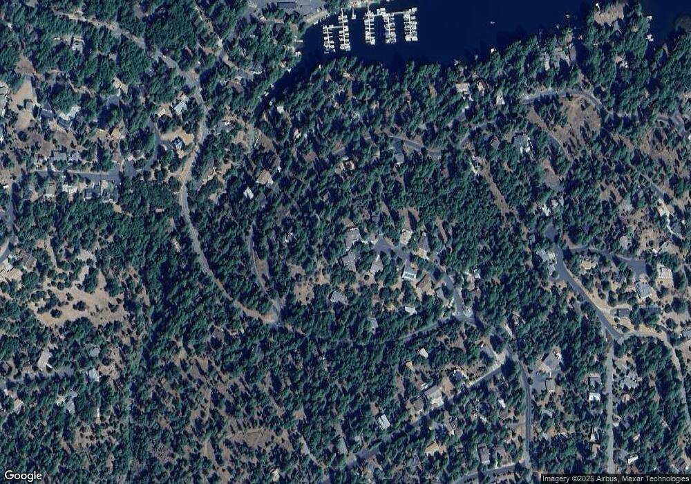
Map
Nearby Homes
- 20029 Upper Skyridge Dr Unit 15
- 19824 Pine Mountain Dr
- 12435 Cassaretto Ct
- 12309 Shooting Star Ct
- 12080 Breckenridge Rd
- 19779 Pine Mountain Dr
- 19935 Pine Mountain Dr
- 19673 Jonny Degnan Ct
- 19709 Pine Mountain Dr
- 20197 Upper Skyridge Dr
- 20128 Lower Skyridge Dr
- 20280 Little Valley Rd
- 12295 Sunnyside Way
- 12000 Trapper Ct
- 19710 Butler Way
- 20018 Pine Mountain Dr
- 12314 Tower Peak Ct
- 12312 Tower Peak Ct Unit 13/369
- 12312 Tower Peak Ct
- 20015 Upper Skyridge Dr
- 20021 Upper Skyridge Dr
- 20021 Upper Skyridge Dr Unit 15/6
- 20021 Upper Skyridge Dr Unit 6
- 12308 Tower Peak Ct Unit 370
- 12308 Tower Peak Ct
- 12309 Tower Peak Ct
- 19888 Pine Mountain Dr Unit 378
- 19888 Pine Mountain Dr
- 20013 Upper Skyridge Dr
- 20041 Upper Skyridge Dr
- 20041 Upper Skyridge Dr Unit 11
- 12306 Tower Peak Ct Unit 371
- 12306 Tower Peak Ct
- 20029 Upper Skyridge Dr Unit 15/8
- 12307 Tower Peak Ct Unit 363
- 12307 Tower Peak Ct