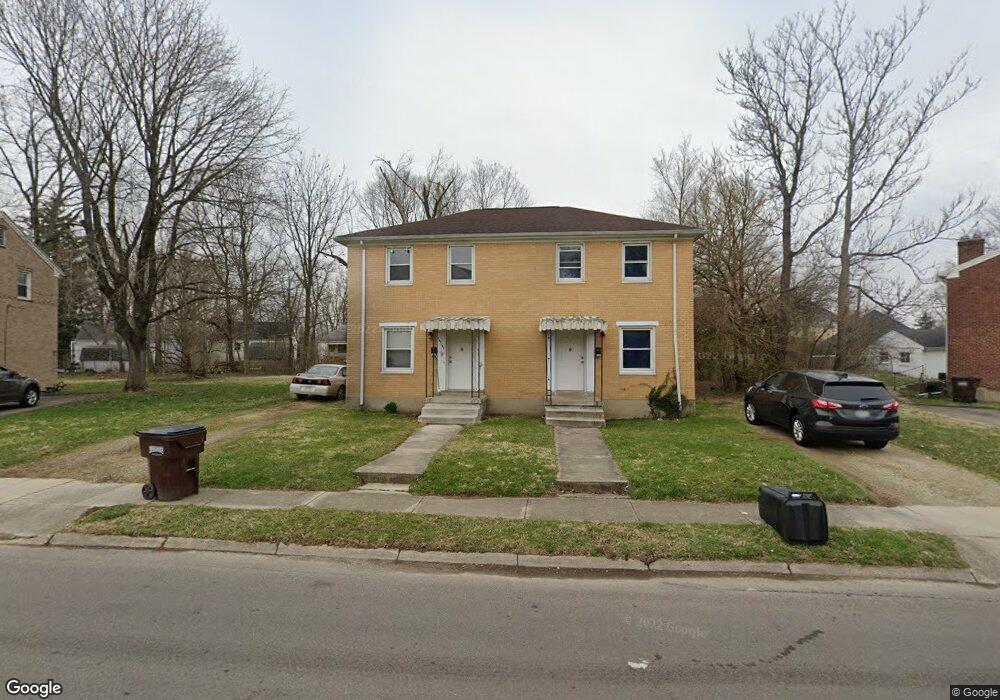
1232 Cedarview Dr E Unit 1234 Springfield, OH 45503
Estimated Value: $114,000 - $135,000
4
Beds
2
Baths
1,728
Sq Ft
$73/Sq Ft
Est. Value
About This Home
This home is located at 1232 Cedarview Dr E Unit 1234, Springfield, OH 45503 and is currently estimated at $126,333, approximately $73 per square foot. 1232 Cedarview Dr E Unit 1234 is a home located in Clark County with nearby schools including Lagonda Elementary School, Roosevelt Middle School, and Springfield High School.
Ownership History
Date
Name
Owned For
Owner Type
Purchase Details
Closed on
Oct 19, 2022
Sold by
Mantis Christ G
Bought by
Mt Olympus Llc
Current Estimated Value
Purchase Details
Closed on
Jun 23, 2005
Sold by
Estate Of Catherine J Mantis
Bought by
Mantis Christ G
Purchase Details
Closed on
Nov 20, 2002
Sold by
Estate Of Evangeline Panos
Bought by
Mantis Catherine Nina and Mantis Catherine J
Create a Home Valuation Report for This Property
The Home Valuation Report is an in-depth analysis detailing your home's value as well as a comparison with similar homes in the area
Home Values in the Area
Average Home Value in this Area
Purchase History
| Date | Buyer | Sale Price | Title Company |
|---|---|---|---|
| Mt Olympus Llc | $72,000 | Team Title & Closing Services | |
| Mantis Christ G | -- | -- | |
| Mantis Catherine Nina | -- | -- |
Source: Public Records
Tax History
| Year | Tax Paid | Tax Assessment Tax Assessment Total Assessment is a certain percentage of the fair market value that is determined by local assessors to be the total taxable value of land and additions on the property. | Land | Improvement |
|---|---|---|---|---|
| 2025 | $1,507 | $48,360 | $10,620 | $37,740 |
| 2024 | $1,469 | $29,730 | $9,940 | $19,790 |
| 2023 | $1,469 | $29,730 | $9,940 | $19,790 |
| 2022 | $1,504 | $29,730 | $9,940 | $19,790 |
| 2021 | $1,247 | $22,690 | $7,590 | $15,100 |
| 2020 | $1,250 | $22,690 | $7,590 | $15,100 |
| 2019 | $1,253 | $22,690 | $7,590 | $15,100 |
| 2018 | $1,196 | $20,800 | $7,590 | $13,210 |
| 2017 | $1,196 | $20,794 | $7,588 | $13,206 |
| 2016 | $1,197 | $20,794 | $7,588 | $13,206 |
| 2015 | $1,345 | $22,922 | $7,588 | $15,334 |
| 2014 | $1,339 | $22,922 | $7,588 | $15,334 |
| 2013 | $1,325 | $22,922 | $7,588 | $15,334 |
Source: Public Records
Map
Nearby Homes
- 913 Mitchell Blvd Unit 915
- 876 E McCreight Ave Unit 2
- 876 E McCreight Ave Unit 878
- 0 Mitchell Blvd
- 1015 Rodgers Dr
- 836-838 Rodgers Dr
- 726 E Madison Ave
- 469-471 E Cecil St
- 469 E Cecil St Unit 471
- 464 E Cassilly St
- 1224 Glenmore Dr
- 364 Ridge Rd
- 1223 Lagonda Ave
- 825-827 Elm St
- 412 E Madison Ave
- 308 Ridge Rd
- 275 Ridge Rd
- 310 E 3rd St
- 803 Laurel St
- 1634 Edwards Ave
- 1240 Cedarview Dr E Unit 1242
- 1220 Cedarview Dr E Unit 1222
- 910 Mitchell Blvd Unit 912
- 904 Mitchell Blvd
- 918 Mitchell Blvd
- 1235 E Cedarview Dr
- 1233 Cedarview Dr E Unit 1235
- 1248 Cedarview Dr E
- 920 Mitchell Blvd
- 902 Mitchell Blvd
- 1227 Cedarview Dr E Unit 1229
- 950 Mitchell Blvd Unit 952
- 1226 Cedarview Dr W
- 1265 Cedarview Dr E
- 880 E McCreight Ave
- 1223 Cedarview Dr E
- 1254 Cedarview Dr E Unit 1256
- 1209 E McCreight Ave
- 1269 Cedarview Dr E
- 1312 Juniper Dr
Your Personal Tour Guide
Ask me questions while you tour the home.