1232 Choptank Rd Middletown, DE 19709
Estimated Value: $692,000 - $1,709,000
4
Beds
4
Baths
7,092
Sq Ft
$165/Sq Ft
Est. Value
About This Home
This home is located at 1232 Choptank Rd, Middletown, DE 19709 and is currently estimated at $1,170,658, approximately $165 per square foot. 1232 Choptank Rd is a home located in New Castle County with nearby schools including Alfred G. Waters Middle School and Middletown High School.
Ownership History
Date
Name
Owned For
Owner Type
Purchase Details
Closed on
Aug 10, 2020
Sold by
Piraino Philip A and Piraino Pamela A
Bought by
Piraino Philip A and Piraino Pamela A
Current Estimated Value
Purchase Details
Closed on
Sep 17, 2019
Sold by
Piraino Antonino
Bought by
Piraino Philip A and Piraino Pamela A
Purchase Details
Closed on
Mar 19, 2009
Sold by
Laporte Val L and Laporte Anne Edith Hixon
Bought by
Piraino Philip A and Piraino Pamela A
Purchase Details
Closed on
Sep 25, 2007
Sold by
Laporte Val L and Laporte Anne Edith Hixon
Bought by
Piraino Philip A and Piraino Pamela A
Purchase Details
Closed on
Dec 19, 2006
Sold by
Laporte Val L and Laporte Anne Edith Hixon
Bought by
State Of Delaware Dept Of Transportation
Create a Home Valuation Report for This Property
The Home Valuation Report is an in-depth analysis detailing your home's value as well as a comparison with similar homes in the area
Home Values in the Area
Average Home Value in this Area
Purchase History
| Date | Buyer | Sale Price | Title Company |
|---|---|---|---|
| Piraino Philip A | -- | None Available | |
| Piraino Philip A | -- | None Available | |
| Piraino Philip A | $193,000 | None Available | |
| Piraino Philip A | $193,000 | None Available | |
| State Of Delaware Dept Of Transportation | $9,850 | None Available |
Source: Public Records
Tax History
| Year | Tax Paid | Tax Assessment Tax Assessment Total Assessment is a certain percentage of the fair market value that is determined by local assessors to be the total taxable value of land and additions on the property. | Land | Improvement |
|---|---|---|---|---|
| 2024 | $14,115 | $337,300 | $15,300 | $322,000 |
| 2023 | $11,995 | $337,300 | $15,300 | $322,000 |
| 2022 | $11,676 | $326,000 | $15,300 | $310,700 |
| 2021 | $11,534 | $326,000 | $15,300 | $310,700 |
| 2020 | $11,394 | $325,800 | $15,100 | $310,700 |
| 2019 | $10,552 | $325,800 | $15,100 | $310,700 |
| 2018 | $10,155 | $325,800 | $15,100 | $310,700 |
| 2017 | $9,725 | $325,800 | $15,100 | $310,700 |
| 2016 | $8,886 | $325,800 | $15,100 | $310,700 |
| 2015 | $8,641 | $325,800 | $15,100 | $310,700 |
| 2014 | $8,623 | $325,800 | $15,100 | $310,700 |
Source: Public Records
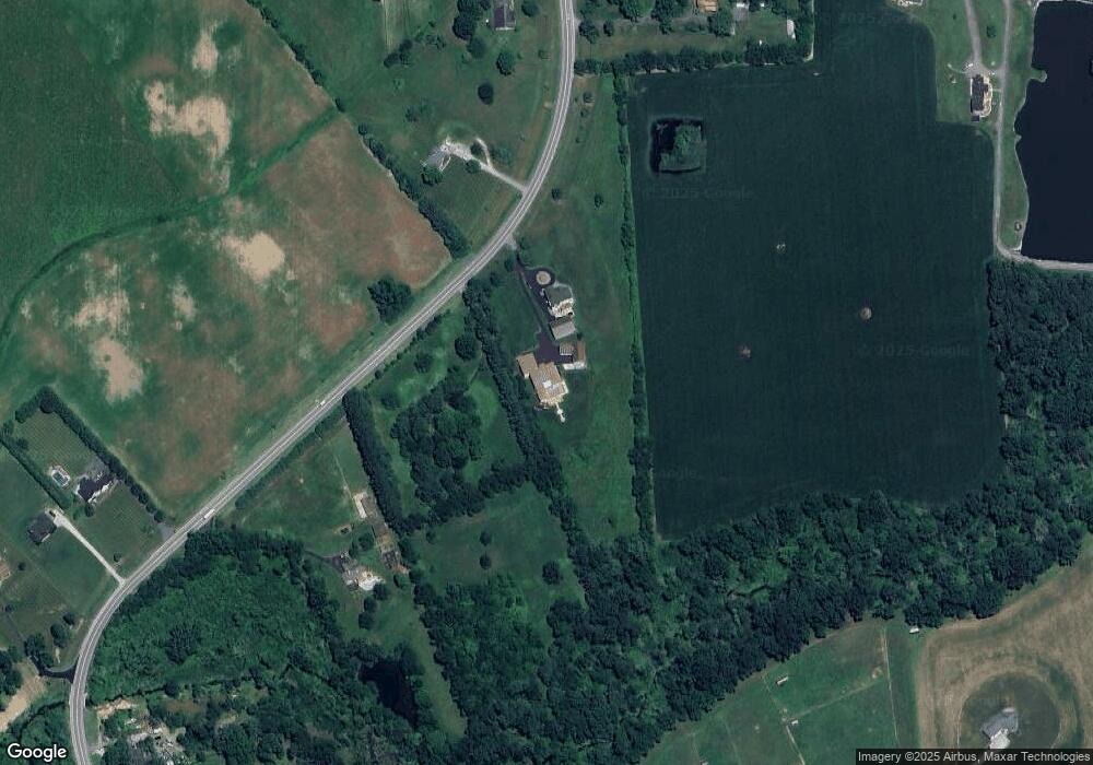
Map
Nearby Homes
- 54 Meadow Dr
- 114 Colonel Clayton Dr
- 93 W Delaware Canal Ct
- 251 Dillon Cir
- 866 Old School House Rd
- 411 Crownleaf Dr
- 258 Dillon Cir
- 32 Chancellorsville Cir
- 103 Westside Ln
- 617 Mccracken Dr
- 278 Abbotsford Dr Unit PLAZA LOT 22
- 240 Abbotsford Dr Unit PHIL GRAND LOT 18
- 503 Tarbet Ct Unit PHIL GRAND LOT 31
- 1455 Cayots Corner Rd
- 129 Ayshire Dr Unit RITTENHOUSE
- 129 Ayshire Dr Unit PLAZA
- 129 Ayshire Dr Unit PHILADELPHIAN GRAND
- 129 Ayshire Dr Unit SOMERSET FLOORPLAN
- 129 Ayshire Dr Unit BRANDYWINE GRAND
- 129 Ayshire Dr Unit HANCOCK GRAND
- 1216 Choptank Rd
- 1224 Choptank Rd
- 00 Choptank Rd
- 01 Choptank Rd
- 001 Choptank Rd
- 002 Choptank Rd
- 003 Choptank Rd
- 03 Choptank Rd
- 2 Choptank Rd
- 2 Choptank Rd Unit (1667)
- 8 Choptank Rd
- 14 Choptank Rd
- 1175 Choptank Rd
- 1208 Choptank Rd
- 1242 Choptank Rd
- 1242 Choptank Rd
- 1201 Choptank Rd
- 1260 Choptank Rd
- 1263 Choptank Rd
- 1197 Choptank Rd
Your Personal Tour Guide
Ask me questions while you tour the home.