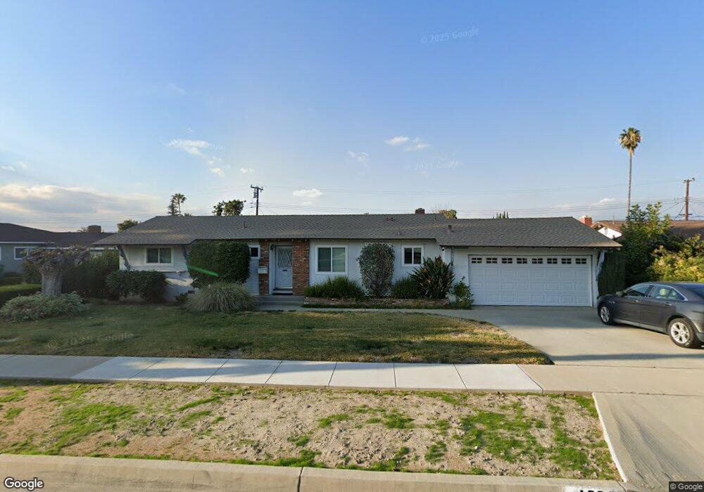
1232 Laurel Ave Redlands, CA 92373
South Redlands NeighborhoodEstimated Value: $529,000 - $616,000
3
Beds
2
Baths
1,250
Sq Ft
$469/Sq Ft
Est. Value
About This Home
This home is located at 1232 Laurel Ave, Redlands, CA 92373 and is currently estimated at $586,548, approximately $469 per square foot. 1232 Laurel Ave is a home located in San Bernardino County with nearby schools including Smiley Elementary School, Cope Middle School, and Redlands Senior High School.
Ownership History
Date
Name
Owned For
Owner Type
Purchase Details
Closed on
Nov 9, 2020
Sold by
Mitchell Thomas and Mitchell Donna E
Bought by
Mitchell Thomas and Mitchell Donna E
Current Estimated Value
Purchase Details
Closed on
Jan 12, 2010
Sold by
Mitchell Thomas
Bought by
Mitchell Thomas and Mitchell Donna E
Purchase Details
Closed on
Jan 22, 2008
Sold by
Mitchell Donna E
Bought by
Mitchell Thomas
Purchase Details
Closed on
Nov 2, 2002
Sold by
Mitchell Thomas
Bought by
Mitchell Thomas and Mitchell Donna E
Create a Home Valuation Report for This Property
The Home Valuation Report is an in-depth analysis detailing your home's value as well as a comparison with similar homes in the area
Home Values in the Area
Average Home Value in this Area
Purchase History
| Date | Buyer | Sale Price | Title Company |
|---|---|---|---|
| Mitchell Thomas | -- | None Available | |
| Mitchell Thomas | -- | None Available | |
| Mitchell Thomas | -- | None Available | |
| Mitchell Thomas | -- | -- |
Source: Public Records
Tax History
| Year | Tax Paid | Tax Assessment Tax Assessment Total Assessment is a certain percentage of the fair market value that is determined by local assessors to be the total taxable value of land and additions on the property. | Land | Improvement |
|---|---|---|---|---|
| 2025 | $3,221 | $264,245 | $81,168 | $183,077 |
| 2024 | $3,007 | $259,063 | $79,576 | $179,487 |
| 2023 | $3,002 | $253,984 | $78,016 | $175,968 |
| 2022 | $2,957 | $249,004 | $76,486 | $172,518 |
| 2021 | $3,009 | $244,121 | $74,986 | $169,135 |
| 2020 | $2,963 | $241,618 | $74,217 | $167,401 |
| 2019 | $2,879 | $236,881 | $72,762 | $164,119 |
| 2018 | $2,806 | $232,236 | $71,335 | $160,901 |
| 2017 | $2,781 | $227,682 | $69,936 | $157,746 |
| 2016 | $2,748 | $223,218 | $68,565 | $154,653 |
| 2015 | $2,727 | $219,865 | $67,535 | $152,330 |
| 2014 | $2,676 | $215,558 | $66,212 | $149,346 |
Source: Public Records
Map
Nearby Homes
- 215 San Rafael St
- 162 Lakeside Ave
- 1030 Fallbrook Ave
- 1235 W Cypress Ave
- 171 Bellevue Ave
- 1522 Blossom Ct
- 1612 Bellevue Rd
- 32 N San Mateo St
- 975 Brookside Ave
- 1029 W Clifton Ave
- 571 Wooden Bridge Ln
- 1033 W Palm Ave
- 1029 W Palm Ave
- 11891 San Timoteo Canyon Rd
- 947 Nottingham Dr
- 93 Kansas St Unit 202
- 93 Kansas St Unit 802
- 919 Chestnut Ave
- 608 Linda Place
- 622 Esther Way
- 1228 Laurel Ave
- 1236 Laurel Ave
- 1231 Fulbright Ave
- 1235 Fulbright Ave
- 1227 Fulbright Ave
- 1240 Laurel Ave
- 1224 Laurel Ave
- 334 Nottingham Dr
- 335 Nottingham Dr
- 1223 Fulbright Ave
- 1244 Laurel Ave
- 1220 Laurel Ave
- 335 Arrowview Dr
- 338 Nottingham Dr
- 334 Sherwood St
- 1243 Fulbright Ave
- 1219 Fulbright Ave
- 339 Nottingham Dr
- 1232 Fulbright Ave
- 1228 Fulbright Ave
Your Personal Tour Guide
Ask me questions while you tour the home.