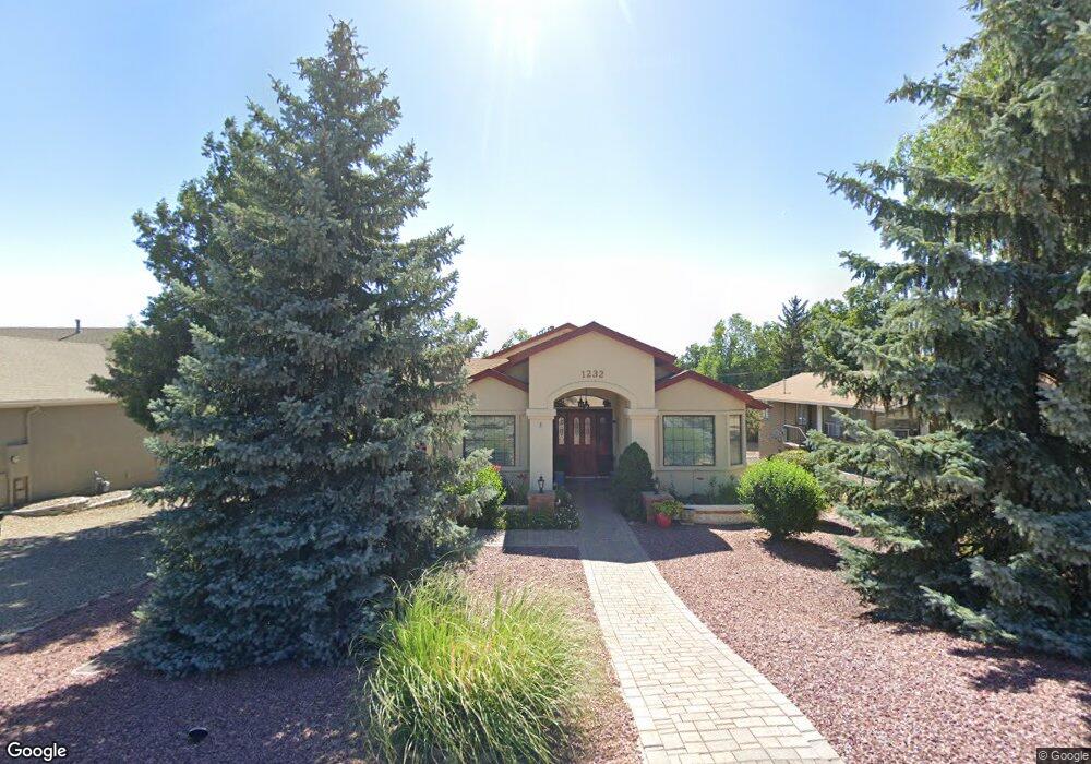
1232 Mosher Ln Prescott, AZ 86301
Estimated Value: $494,466 - $570,000
2
Beds
2
Baths
1,946
Sq Ft
$279/Sq Ft
Est. Value
About This Home
This home is located at 1232 Mosher Ln, Prescott, AZ 86301 and is currently estimated at $543,617, approximately $279 per square foot. 1232 Mosher Ln is a home located in Yavapai County with nearby schools including Taylor Hicks School, Granite Mountain Middle School, and Prescott Mile High Middle School.
Ownership History
Date
Name
Owned For
Owner Type
Purchase Details
Closed on
Jul 27, 2009
Sold by
Marsh Owen F and Marsh Carolyn K
Bought by
Marsh Owen F and Marsh Carolyn K
Current Estimated Value
Home Financials for this Owner
Home Financials are based on the most recent Mortgage that was taken out on this home.
Original Mortgage
$193,400
Outstanding Balance
$126,740
Interest Rate
5.31%
Mortgage Type
New Conventional
Estimated Equity
$416,877
Purchase Details
Closed on
Jun 12, 2006
Sold by
Marsh Owen F and Marsh Carolyn K
Bought by
Marsh Owen F and Marsh Carolyn
Purchase Details
Closed on
Jan 10, 2002
Sold by
Rodinis Karen G
Bought by
Rodinis Karen G and Karen Rodinis Living Trust
Create a Home Valuation Report for This Property
The Home Valuation Report is an in-depth analysis detailing your home's value as well as a comparison with similar homes in the area
Home Values in the Area
Average Home Value in this Area
Purchase History
| Date | Buyer | Sale Price | Title Company |
|---|---|---|---|
| Marsh Owen F | -- | Pioneer Title Agency Inc | |
| Marsh Owen F | -- | Pioneer Title Agency | |
| Marsh Owen F | -- | None Available | |
| Rodinis Karen G | -- | -- |
Source: Public Records
Mortgage History
| Date | Status | Borrower | Loan Amount |
|---|---|---|---|
| Open | Marsh Owen F | $193,400 |
Source: Public Records
Tax History Compared to Growth
Tax History
| Year | Tax Paid | Tax Assessment Tax Assessment Total Assessment is a certain percentage of the fair market value that is determined by local assessors to be the total taxable value of land and additions on the property. | Land | Improvement |
|---|---|---|---|---|
| 2026 | $1,326 | $39,001 | -- | -- |
| 2024 | $1,297 | $41,090 | -- | -- |
| 2023 | $1,297 | $34,281 | $0 | $0 |
| 2022 | $1,280 | $28,001 | $4,975 | $23,026 |
| 2021 | $1,373 | $27,349 | $4,330 | $23,019 |
| 2020 | $1,379 | $0 | $0 | $0 |
| 2019 | $1,369 | $0 | $0 | $0 |
| 2018 | $1,308 | $0 | $0 | $0 |
| 2017 | $1,261 | $0 | $0 | $0 |
| 2016 | $1,256 | $0 | $0 | $0 |
| 2015 | $1,218 | $0 | $0 | $0 |
| 2014 | $1,214 | $0 | $0 | $0 |
Source: Public Records
Map
Nearby Homes
- 485 Prescott Heights Dr Unit 21
- 485 Prescott Heights Dr
- 000 Terrace View Dr
- 1302 Terrace View Dr
- 705 W Rosser St
- 1528 Eagle Ridge Rd
- 1968 Sycamore Dr
- 1825 Kay Cee Ln
- 403 Sun St
- 1815 Mountain View Ln
- 841 Danita St
- 1815 Northside Dr
- 436 Roma Ave
- 487 Stewart Cir
- 232 Eagle Crest Cir
- 402 Whipple St
- 609 La Paloma Ln
- 848 Flora St
- 827 Lincoln Ave
- 1805 Cedarwood Dr