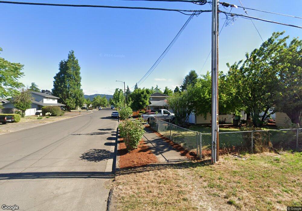
1232 S Address Unknown Place Springfield, OR 97478
Thurston NeighborhoodEstimated Value: $336,727 - $396,000
1
Bed
1
Bath
976
Sq Ft
$382/Sq Ft
Est. Value
About This Home
This home is located at 1232 S Address Unknown Place, Springfield, OR 97478 and is currently estimated at $373,182, approximately $382 per square foot. 1232 S Address Unknown Place is a home with nearby schools including Thurston Elementary School, Thurston Middle School, and Thurston High School.
Ownership History
Date
Name
Owned For
Owner Type
Purchase Details
Closed on
Oct 10, 2018
Sold by
Real Estate Commodities Llc
Bought by
Agenbroad Dana D
Current Estimated Value
Home Financials for this Owner
Home Financials are based on the most recent Mortgage that was taken out on this home.
Original Mortgage
$45,500
Interest Rate
4.5%
Mortgage Type
New Conventional
Purchase Details
Closed on
Nov 29, 2016
Sold by
Lane County
Bought by
Real Estate Commodities Llc
Purchase Details
Closed on
Sep 24, 2015
Sold by
3-2-1 Video Inc
Bought by
Lane County
Create a Home Valuation Report for This Property
The Home Valuation Report is an in-depth analysis detailing your home's value as well as a comparison with similar homes in the area
Home Values in the Area
Average Home Value in this Area
Purchase History
| Date | Buyer | Sale Price | Title Company |
|---|---|---|---|
| Agenbroad Dana D | $65,000 | Evergreen Land Title Co | |
| Real Estate Commodities Llc | $33,000 | None Available | |
| Lane County | -- | None Available |
Source: Public Records
Mortgage History
| Date | Status | Borrower | Loan Amount |
|---|---|---|---|
| Closed | Agenbroad Dana D | $45,500 |
Source: Public Records
Tax History Compared to Growth
Tax History
| Year | Tax Paid | Tax Assessment Tax Assessment Total Assessment is a certain percentage of the fair market value that is determined by local assessors to be the total taxable value of land and additions on the property. | Land | Improvement |
|---|---|---|---|---|
| 2024 | $3,324 | $178,874 | -- | -- |
| 2023 | $3,324 | $173,665 | $0 | $0 |
| 2022 | $3,078 | $168,607 | $0 | $0 |
| 2021 | $3,023 | $163,697 | $0 | $0 |
| 2020 | $1,858 | $100,613 | $0 | $0 |
| 2019 | $906 | $49,092 | $0 | $0 |
| 2018 | $854 | $46,275 | $0 | $0 |
| 2017 | $821 | $46,275 | $0 | $0 |
| 2016 | -- | $40,115 | $0 | $0 |
| 2015 | $697 | $38,947 | $0 | $0 |
| 2014 | $687 | $37,813 | $0 | $0 |
Source: Public Records
Map
Nearby Homes
- 1184 S 69th St
- 952 S 69th St
- 6831 Holly St
- 995 S 67th St
- 967 S 66th Place
- 7025 Glacier Dr
- 0 S 69th Place
- 701 S 68th Place
- 745 S 71st St
- 595 S 68th Place
- 0 S 67th St Unit 693960327
- 589 S 72nd St
- 0 S 73rd St Unit 24191573
- 296 S 68th Ct
- 7087 Aster St
- 7066 Aster St
- 0 Forest Ridge Unit 520732026
- 6451 Dogwood St
- 0 Forest Ridge Dr Unit 415181610
- 0 Forest Ridge Dr Unit 298125461
- 1232 S 69th Place
- 1220 S 69th Place
- 1208 S 69th Place
- 0 Unknown Unit 9083157
- 0 Unknown Unit 10044973
- 0 Unknown Unit 11279378
- 0 Unknown Unit 12625967
- 0 Unknown Unit 15050210
- 1194 S 69th Place
- 1042 S 70th St
- 1080 S 70th St
- 1175 S 69th Place
- 1172 S 69th Place
- 1150 S 69th Place
- 1143 S 69th Place
- 1167 S 69th St
- 1128 S 69th Place
- 1121 S 69th Place
- 1010 S 70th St
- 1145 S 69th St