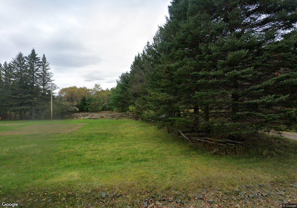
1232 Stickney Bridge Rd Au Sable Forks, NY 12912
Estimated Value: $327,000 - $518,000
4
Beds
3
Baths
2,925
Sq Ft
$143/Sq Ft
Est. Value
About This Home
This home is located at 1232 Stickney Bridge Rd, Au Sable Forks, NY 12912 and is currently estimated at $417,779, approximately $142 per square foot. 1232 Stickney Bridge Rd is a home located in Essex County with nearby schools including AuSable Valley High School.
Ownership History
Date
Name
Owned For
Owner Type
Purchase Details
Closed on
Aug 7, 2015
Sold by
M & T Bank
Bought by
Saccone Curtis and Saccone S
Current Estimated Value
Home Financials for this Owner
Home Financials are based on the most recent Mortgage that was taken out on this home.
Original Mortgage
$181,649
Interest Rate
3.95%
Mortgage Type
FHA
Purchase Details
Closed on
Oct 20, 2013
Sold by
Doyle William
Bought by
M & T Bank
Purchase Details
Closed on
Mar 4, 2013
Sold by
Maryellen Kloss Kenneth Doyle
Bought by
Doyle William
Create a Home Valuation Report for This Property
The Home Valuation Report is an in-depth analysis detailing your home's value as well as a comparison with similar homes in the area
Home Values in the Area
Average Home Value in this Area
Purchase History
| Date | Buyer | Sale Price | Title Company |
|---|---|---|---|
| Saccone Curtis | $185,000 | Dean Schneller | |
| M & T Bank | $249,674 | -- | |
| Doyle William | -- | James E. Jr., E Martineau |
Source: Public Records
Mortgage History
| Date | Status | Borrower | Loan Amount |
|---|---|---|---|
| Previous Owner | Saccone Curtis | $181,649 |
Source: Public Records
Tax History Compared to Growth
Tax History
| Year | Tax Paid | Tax Assessment Tax Assessment Total Assessment is a certain percentage of the fair market value that is determined by local assessors to be the total taxable value of land and additions on the property. | Land | Improvement |
|---|---|---|---|---|
| 2024 | $7,138 | $330,700 | $84,000 | $246,700 |
| 2023 | $7,323 | $318,700 | $70,000 | $248,700 |
| 2022 | $7,177 | $294,900 | $39,000 | $255,900 |
| 2021 | $7,056 | $249,900 | $36,600 | $213,300 |
| 2020 | $7,270 | $249,900 | $36,600 | $213,300 |
| 2019 | $7,238 | $249,900 | $36,600 | $213,300 |
| 2018 | $7,092 | $249,900 | $36,600 | $213,300 |
| 2017 | $6,894 | $249,900 | $36,600 | $213,300 |
| 2016 | $7,307 | $261,400 | $36,600 | $224,800 |
| 2015 | -- | $261,400 | $36,600 | $224,800 |
| 2014 | -- | $261,400 | $36,600 | $224,800 |
Source: Public Records
Map
Nearby Homes
- 13643 Nys Route 9n
- 43 Briar Ln
- 14033 Nys Route 9n
- 186 Spruce Ln
- 87 Spruce Ln
- 129 Cottontail Ln
- 0 Spruce Ln
- 6 Intervale Ave
- 67 Evergreen Ln
- 16 Broad Ln Unit 1
- 60 Gooseberry Ln
- 0 Ridge Top Rd
- 14192 Nys Route 9n
- 3 Woodyard Ln
- 0 Dew Dr
- 6 College St
- 200 Oak Hollow Rd
- 13 Grove Rd
- Lot 2 Wildernesscapes Way
- 571 Stickney Bridge Rd
- 1232 County Highway 9s
- 1238 Stickney Bridge Rd
- 1198 Stickney Bridge Rd
- 1198 Stickney Bridge Rd
- 1196 Stickney Bridge Rd
- 1196 County Highway 9s
- 1239 Stickney Bridge Rd
- 1229 Stickney Bridge Rd
- 1225 Stickney Bridge Rd
- 1184 Stickney Bridge Rd
- 13743 Nys Route 9n
- 1168 Stickney Bridge Rd
- 1168 County Highway 9s
- 1168 Stickney Bridge Rd
- 13743 Nys Route 9n
- 1157 Stickney Bridge Rd
- 46 Carey Rd
- 13713 Nys Route 9n
- 1148 Stickney Bridge Rd
- 13707 Nys Route 9n
