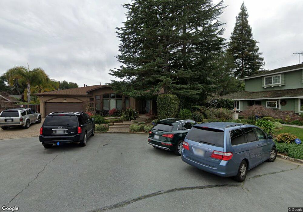
1232 Thorpe Ct Los Altos, CA 94024
South Los Altos NeighborhoodEstimated Value: $4,088,962 - $4,918,000
4
Beds
3
Baths
2,197
Sq Ft
$2,102/Sq Ft
Est. Value
About This Home
This home is located at 1232 Thorpe Ct, Los Altos, CA 94024 and is currently estimated at $4,618,741, approximately $2,102 per square foot. 1232 Thorpe Ct is a home located in Santa Clara County with nearby schools including Oak Avenue Elementary School, Georgina P. Blach Junior High School, and Mountain View High School.
Ownership History
Date
Name
Owned For
Owner Type
Purchase Details
Closed on
Aug 31, 2024
Sold by
Pann David
Bought by
2024 Pann Spousal Irrevocable Trust and Pann
Current Estimated Value
Purchase Details
Closed on
Aug 21, 2024
Sold by
David And Phyllis Pann Living Trust and Pann David
Bought by
Pann David
Purchase Details
Closed on
May 20, 2013
Sold by
Pann David R and Pann Phyllis S
Bought by
Pann David and Pann Phyllis
Purchase Details
Closed on
May 22, 1996
Sold by
Geiger Beverly C
Bought by
Pann David R and Pann Phyllis S
Create a Home Valuation Report for This Property
The Home Valuation Report is an in-depth analysis detailing your home's value as well as a comparison with similar homes in the area
Home Values in the Area
Average Home Value in this Area
Purchase History
| Date | Buyer | Sale Price | Title Company |
|---|---|---|---|
| 2024 Pann Spousal Irrevocable Trust | -- | None Listed On Document | |
| Pann David | -- | None Listed On Document | |
| Pann David | -- | None Available | |
| Pann David R | $590,000 | Chicago Title Co |
Source: Public Records
Tax History Compared to Growth
Tax History
| Year | Tax Paid | Tax Assessment Tax Assessment Total Assessment is a certain percentage of the fair market value that is determined by local assessors to be the total taxable value of land and additions on the property. | Land | Improvement |
|---|---|---|---|---|
| 2025 | $14,101 | $1,114,871 | $784,113 | $330,758 |
| 2024 | $14,101 | $1,093,012 | $768,739 | $324,273 |
| 2023 | $13,799 | $1,071,581 | $753,666 | $317,915 |
| 2022 | $13,700 | $1,050,571 | $738,889 | $311,682 |
| 2021 | $13,708 | $1,029,972 | $724,401 | $305,571 |
| 2020 | $13,761 | $1,019,412 | $716,974 | $302,438 |
| 2019 | $13,295 | $999,424 | $702,916 | $296,508 |
| 2018 | $13,017 | $979,829 | $689,134 | $290,695 |
| 2017 | $12,562 | $960,618 | $675,622 | $284,996 |
| 2016 | $12,332 | $941,783 | $662,375 | $279,408 |
| 2015 | $12,100 | $927,638 | $652,426 | $275,212 |
| 2014 | $11,964 | $909,467 | $639,646 | $269,821 |
Source: Public Records
Map
Nearby Homes
- 1260 Grant Rd
- 1402 Oak Ave
- 1315 Bright Oaks Ct
- 1051 Suffolk Way
- 941 Berry Ave
- 980-B Lundy Ln
- 932 Lundy Ln
- 1686 Parkhills Ave
- 3363 Grant Rd
- 1684 Newcastle Dr
- 1405 Montclaire Place
- 1624 Clay Dr
- 781 Covington Rd
- 857 Hierra Ct
- 1887 Walnut Dr
- 1992 Deodara Dr
- 1881 Alford Ave
- 1901 Alford Ave
- 1402 Bedford Ave
- 730 Mora Dr
- 1228 Thorpe Ct
- 1259 Heritage Ct
- 1249 Heritage Ct
- 1236 Thorpe Ct
- 1219 Heritage Ct
- 1216 Eureka Ct
- 1224 Thorpe Ct
- 1212 Eureka Ct
- 1240 Thorpe Ct
- 1215 Heritage Ct
- 1235 Heritage Ct
- 1260 Heritage Ct
- 1220 Eureka Ct
- 1248 Stanwirth Ct
- 1223 Heritage Ct
- 1250 Heritage Ct
- 1244 Stanwirth Ct
- 1211 Heritage Ct
- 1208 Eureka Ct
- 1241 Eureka Ave