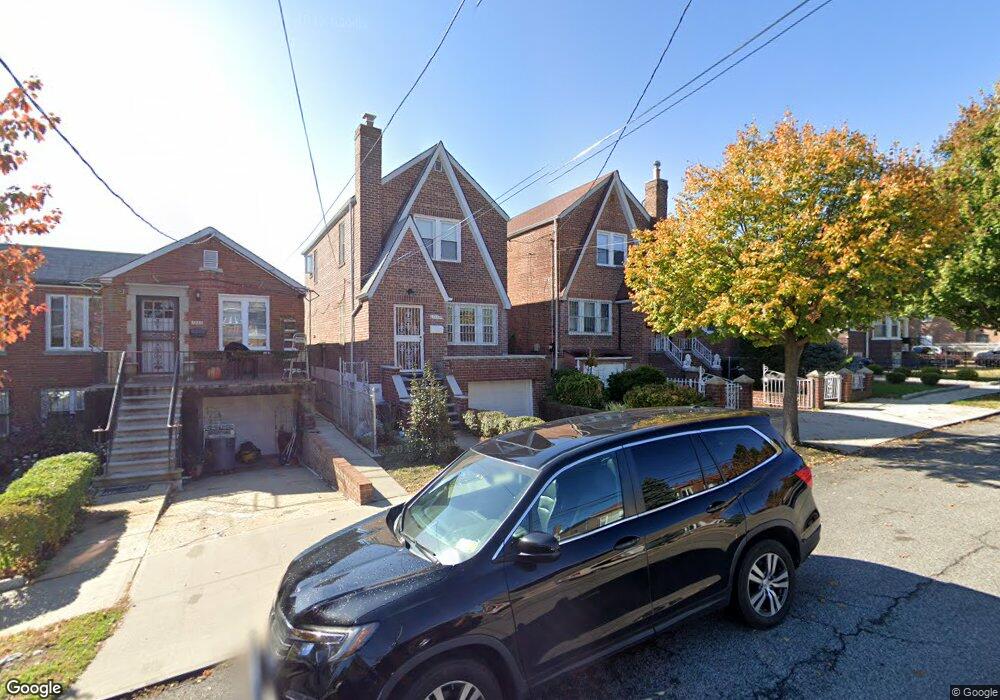
1232 Waring Ave Bronx, NY 10469
Pelham Gardens NeighborhoodEstimated Value: $653,737 - $903,000
--
Bed
--
Bath
1,296
Sq Ft
$584/Sq Ft
Est. Value
About This Home
This home is located at 1232 Waring Ave, Bronx, NY 10469 and is currently estimated at $756,684, approximately $583 per square foot. 1232 Waring Ave is a home located in Bronx County with nearby schools including P.S. 097 Bronx, J.H.S. 144 Michelangelo, and St Catharine Academy.
Ownership History
Date
Name
Owned For
Owner Type
Purchase Details
Closed on
May 12, 2005
Sold by
Vitali Angelo and Vitali Mafalda
Bought by
Malafronte Anna
Current Estimated Value
Home Financials for this Owner
Home Financials are based on the most recent Mortgage that was taken out on this home.
Original Mortgage
$359,650
Outstanding Balance
$188,847
Interest Rate
5.95%
Mortgage Type
Purchase Money Mortgage
Estimated Equity
$567,837
Create a Home Valuation Report for This Property
The Home Valuation Report is an in-depth analysis detailing your home's value as well as a comparison with similar homes in the area
Home Values in the Area
Average Home Value in this Area
Purchase History
| Date | Buyer | Sale Price | Title Company |
|---|---|---|---|
| Malafronte Anna | $526,000 | -- |
Source: Public Records
Mortgage History
| Date | Status | Borrower | Loan Amount |
|---|---|---|---|
| Open | Malafronte Anna | $359,650 |
Source: Public Records
Tax History Compared to Growth
Tax History
| Year | Tax Paid | Tax Assessment Tax Assessment Total Assessment is a certain percentage of the fair market value that is determined by local assessors to be the total taxable value of land and additions on the property. | Land | Improvement |
|---|---|---|---|---|
| 2025 | $5,255 | $29,215 | $4,929 | $24,286 |
| 2024 | $5,255 | $27,562 | $4,217 | $23,345 |
| 2023 | $5,313 | $27,562 | $4,330 | $23,232 |
| 2022 | $5,174 | $43,740 | $7,380 | $36,360 |
| 2021 | $5,128 | $38,160 | $7,380 | $30,780 |
| 2020 | $4,857 | $34,560 | $7,380 | $27,180 |
| 2019 | $4,512 | $34,320 | $7,380 | $26,940 |
| 2018 | $4,384 | $22,968 | $6,155 | $16,813 |
| 2017 | $4,347 | $22,795 | $6,505 | $16,290 |
| 2016 | $3,989 | $21,505 | $5,259 | $16,246 |
| 2015 | $3,033 | $20,288 | $7,257 | $13,031 |
| 2014 | $3,033 | $19,140 | $8,220 | $10,920 |
Source: Public Records
Map
Nearby Homes
- 1235 Astor Ave
- 1178 Astor Ave
- 2520 Tenbroeck Ave
- 2441 Yates Ave
- 2445 Yates Ave
- 2433 Young Ave
- 2449 Young Ave
- 1318 Mace Ave
- 2543 Bouck Ave
- 2445 Lurting Ave
- 2533 Young Ave
- 2572 Pearsall Ave
- 2547 Laconia Ave
- 1357 Waring Ave
- 2536 Lurting Ave
- 2513 Fish Ave
- 1214 Pelham Pkwy S
- 2548 Young Ave
- 2533 Fish Ave
- 2534 Hone Ave
- 1234 Waring Ave
- 1228 Waring Ave
- 1236 Waring Ave
- 1224 Waring Ave
- 1240 Waring Ave
- 2322 Pearsall Ave
- 2329 Throop Ave
- 2329 Throop Ave Unit 1
- 1244 Waring Ave
- 2318 Pearsall Ave
- 2325 Throop Ave
- 2316 Pearsall Ave
- 2321 Throop Ave
- 1225 Waring Ave
- 2314 Pearsall Ave
- 1220 Waring Ave
- 1233 Waring Ave
- 1239 Waring Ave
- 2317 Throop Ave
- 2332 Throop Ave