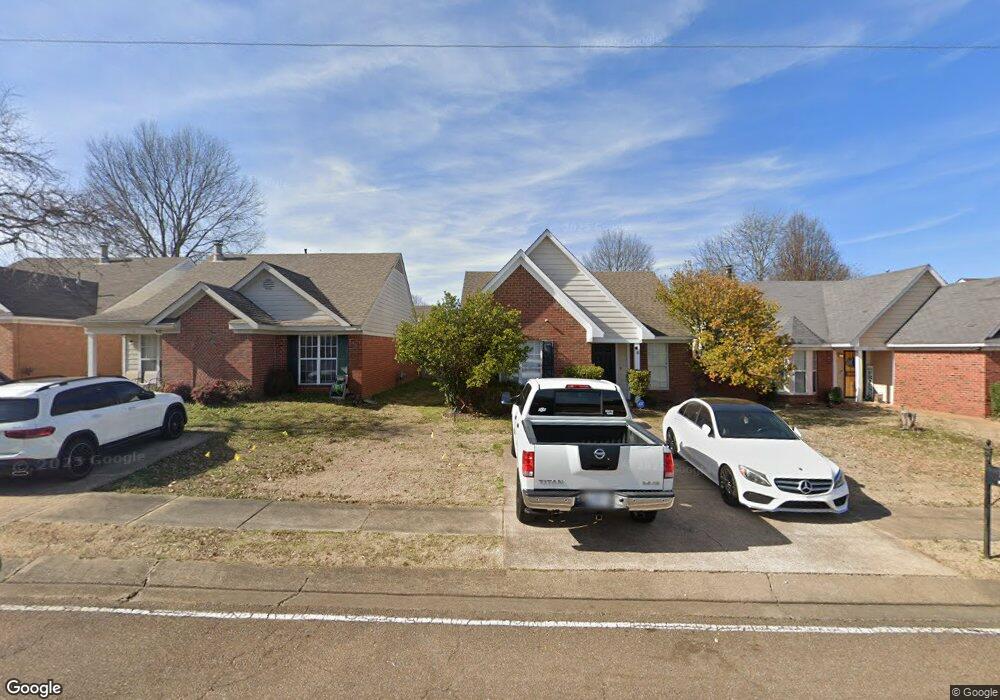
1232 We Ross Pkwy W Southaven, MS 38671
Estimated Value: $183,000 - $208,000
3
Beds
2
Baths
1,200
Sq Ft
$166/Sq Ft
Est. Value
About This Home
This home is located at 1232 We Ross Pkwy W, Southaven, MS 38671 and is currently estimated at $198,679, approximately $165 per square foot. 1232 We Ross Pkwy W is a home located in DeSoto County with nearby schools including Hope Sullivan Elementary School, Southaven Intermediate School, and Southaven Middle School.
Ownership History
Date
Name
Owned For
Owner Type
Purchase Details
Closed on
Feb 22, 2024
Sold by
Dew Billy Randall
Bought by
Hamilton Cordell T
Current Estimated Value
Purchase Details
Closed on
May 5, 2023
Sold by
Dean Morris Llc
Bought by
Citimortgage Inc
Purchase Details
Closed on
Apr 27, 2023
Sold by
Gillespie Nancy Debra
Bought by
Gillespie Nancy Debra and Dew Karen Lowry
Purchase Details
Closed on
Dec 30, 2008
Sold by
Dew Benjamin P and Dew Tara L
Bought by
Dew Billy Randall
Create a Home Valuation Report for This Property
The Home Valuation Report is an in-depth analysis detailing your home's value as well as a comparison with similar homes in the area
Home Values in the Area
Average Home Value in this Area
Purchase History
| Date | Buyer | Sale Price | Title Company |
|---|---|---|---|
| Hamilton Cordell T | -- | Guardian Title | |
| Citimortgage Inc | $31,670 | None Listed On Document | |
| Gillespie Nancy Debra | -- | None Listed On Document | |
| Gillespie Nancy Debra | -- | None Listed On Document | |
| Dew Billy Randall | -- | None Available |
Source: Public Records
Tax History Compared to Growth
Tax History
| Year | Tax Paid | Tax Assessment Tax Assessment Total Assessment is a certain percentage of the fair market value that is determined by local assessors to be the total taxable value of land and additions on the property. | Land | Improvement |
|---|---|---|---|---|
| 2024 | $1,731 | $11,903 | $3,750 | $8,153 |
| 2023 | $1,731 | $11,903 | $0 | $0 |
| 2022 | $1,695 | $11,903 | $3,750 | $8,153 |
| 2021 | $1,695 | $11,903 | $3,750 | $8,153 |
| 2020 | $1,602 | $11,250 | $3,750 | $7,500 |
| 2019 | $1,604 | $11,261 | $3,750 | $7,511 |
| 2017 | $1,568 | $18,164 | $10,957 | $7,207 |
| 2016 | $1,568 | $10,957 | $3,750 | $7,207 |
| 2015 | $1,561 | $18,164 | $10,957 | $7,207 |
| 2014 | $1,568 | $10,957 | $0 | $0 |
| 2013 | $1,626 | $10,957 | $0 | $0 |
Source: Public Records
Map
Nearby Homes
- 5381 Peppermill Dr
- 5379 Bradley Dr
- 5298 Russell Dr
- 5330 Kalian Cove
- 5353 Pollard Dr
- 5448 Pollard Dr
- 5339 Kristy Ln
- 672 Grant Dr
- 1652 Thomas St
- 1664 Thomas St
- 1926 Tissington Dr
- 1876 Greeno Dr
- 1939 Ingleside Cove
- 5395 Cohay Dr
- 1784 Thomas St
- 6275 U S Highway 51
- 0 Pepper Chase Dr
- 5240 Park Place Dr
- 4900 Pepper Chase Dr
- 4925 Winesap Dr
- 1232 W East Ross Pkwy
- 1226 W East Ross Pkwy
- 1226 W E Ross Pkwy
- 1226 We Ross Pkwy W
- 1238 We Ross Pkwy W
- 1238 W East Ross Pkwy
- 1220 We Ross Pkwy W
- 1248 W East Ross Pkwy
- 1248 We Ross Pkwy W
- 1214 W E Ross Pkwy
- 1214 W East Ross Pkwy
- 1214 We Ross Pkwy W
- 1261 Mcgowan Dr
- 1255 Mcgowan Dr
- 1267 Mcgowan Dr
- 1249 Mcgowan Dr
- 1208 W E Ross Pkwy
- 1208 W East Ross Pkwy
- 1208 We Ross Pkwy W
- 1241 Mcgowan Dr