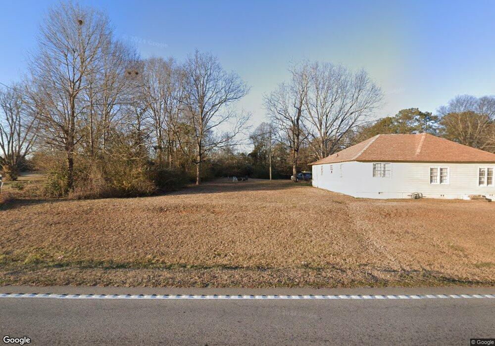
12320 Brown Bridge Rd Covington, GA 30016
Estimated Value: $220,261 - $231,000
2
Beds
2
Baths
1,040
Sq Ft
$216/Sq Ft
Est. Value
About This Home
This home is located at 12320 Brown Bridge Rd, Covington, GA 30016 and is currently estimated at $225,065, approximately $216 per square foot. 12320 Brown Bridge Rd is a home located in Newton County with nearby schools including South Salem Elementary School, Liberty Middle School, and Newton High School.
Ownership History
Date
Name
Owned For
Owner Type
Purchase Details
Closed on
Sep 8, 2009
Sold by
Shiver Roy A
Bought by
Farmers & Merchants Bk
Current Estimated Value
Home Financials for this Owner
Home Financials are based on the most recent Mortgage that was taken out on this home.
Original Mortgage
$180,000
Outstanding Balance
$49,097
Interest Rate
5.14%
Mortgage Type
New Conventional
Estimated Equity
$175,968
Purchase Details
Closed on
Aug 31, 2009
Sold by
Farmers & Merchants Bank
Bought by
Vineyard Christian Church Inc
Home Financials for this Owner
Home Financials are based on the most recent Mortgage that was taken out on this home.
Original Mortgage
$180,000
Outstanding Balance
$49,097
Interest Rate
5.14%
Mortgage Type
New Conventional
Estimated Equity
$175,968
Create a Home Valuation Report for This Property
The Home Valuation Report is an in-depth analysis detailing your home's value as well as a comparison with similar homes in the area
Home Values in the Area
Average Home Value in this Area
Purchase History
| Date | Buyer | Sale Price | Title Company |
|---|---|---|---|
| Farmers & Merchants Bk | -- | -- | |
| Vineyard Christian Church Inc | $225,000 | -- |
Source: Public Records
Mortgage History
| Date | Status | Borrower | Loan Amount |
|---|---|---|---|
| Open | Vineyard Christian Church Inc | $180,000 |
Source: Public Records
Tax History
| Year | Tax Paid | Tax Assessment Tax Assessment Total Assessment is a certain percentage of the fair market value that is determined by local assessors to be the total taxable value of land and additions on the property. | Land | Improvement |
|---|---|---|---|---|
| 2025 | $1,495 | $60,080 | $13,000 | $47,080 |
| 2024 | $1,434 | $56,600 | $7,400 | $49,200 |
| 2023 | $1,652 | $60,880 | $7,400 | $53,480 |
| 2022 | $1,448 | $53,360 | $7,400 | $45,960 |
| 2021 | $1,055 | $34,800 | $7,400 | $27,400 |
| 2020 | $816 | $34,240 | $8,480 | $25,760 |
| 2019 | $1,201 | $35,200 | $8,480 | $26,720 |
| 2018 | $586 | $34,120 | $8,480 | $25,640 |
| 2017 | $1,025 | $29,840 | $7,080 | $22,760 |
| 2016 | $908 | $26,440 | $7,080 | $19,360 |
| 2015 | $911 | $26,520 | $7,080 | $19,440 |
| 2014 | $664 | $19,400 | $0 | $0 |
Source: Public Records
Map
Nearby Homes
- 30 Cinnamon Fern Cir
- 95 Randette Dr
- 95 Forray Dr
- 45 Robertford Dr
- 160 Wisteria Blvd
- 12462 Brown Bridge Rd
- 444 McGiboney Rd Unit 1
- 100 Wisteria Cir
- 50 Amberjack Trail
- 430 Fox Meadow Dr
- 500 Shiver Blvd
- 145 Sears Cir
- 30 Capeton Ct
- 164 Mary Jane Ln
- 210 Mary Jane Ln
- 220 Doubles Dr Unit 3
- 41 Woodland Rd
- 250 Stonecreek Pkwy
- 185 Stephanie Ln
- 160 Princeton Way
- 12310 Brown Bridge Rd
- 12334 Brown Bridge Rd
- 12288 Brown Bridge Rd
- 12284 Brown Bridge Rd
- 12350 Brown Bridge Rd
- 12295 Brown Bridge Rd
- 10 Randette Dr
- 140 McGiboney Dr
- 60 Cinnamon Fern Cir
- 30 Randette Dr
- 12266 Brown Bridge Rd
- 40 Randette Dr
- 20 Randette Dr
- 50 Cinnamon Fern Cir Unit 1
- 50 Randette Dr Unit 10
- 50 Randette Dr
- 60 Randette Dr
- 40 Cinnamon Fern Cir Unit 1
- 70 Cinnamon Fern Cir
- 25 Watercress Ct
Your Personal Tour Guide
Ask me questions while you tour the home.