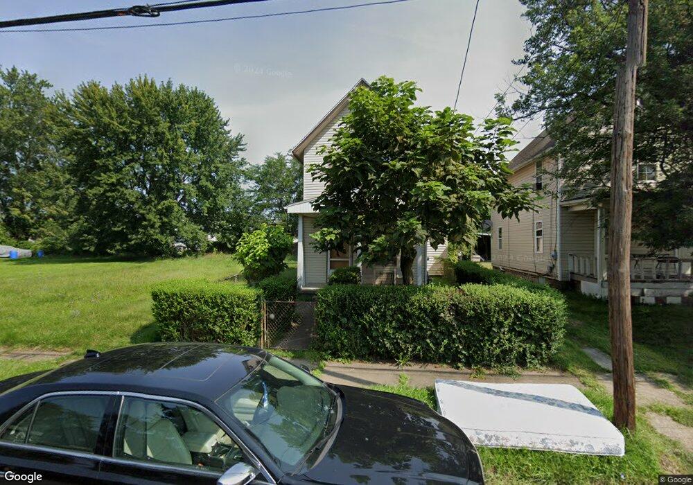
1233 3rd St SE Canton, OH 44707
Old Southwest NeighborhoodEstimated Value: $107,000
Studio
--
Bath
--
Sq Ft
3,354
Sq Ft Lot
About This Home
This home is located at 1233 3rd St SE, Canton, OH 44707 and is currently estimated at $107,000. 1233 3rd St SE is a home located in Stark County with nearby schools including Stephanie Rushin Patrick Elementary School, Early Learning Center @ Schreiber, and McKinley High School.
Ownership History
Date
Name
Owned For
Owner Type
Purchase Details
Closed on
Feb 28, 2025
Sold by
Boss Property Management Llc
Bought by
Habitat For Humanity East Central Ohio Inc
Current Estimated Value
Purchase Details
Closed on
Nov 18, 2024
Sold by
Stark County Land Reutilization Corporat
Bought by
Boss Property Management Llc
Purchase Details
Closed on
Sep 30, 2024
Sold by
Stark County Sheriff
Bought by
Stark County Land Reutilization Corporation
Purchase Details
Closed on
Mar 23, 2005
Sold by
Atfh Real Property Llc
Bought by
Endeavor Real Estate Fund I Llc
Purchase Details
Closed on
Jan 4, 2005
Sold by
American Tax Funding Llc
Bought by
Atfh Real Property Llc
Purchase Details
Closed on
Oct 4, 2004
Sold by
Nealey Virginia and Barnes Major
Bought by
American Tax Funding Llc
Create a Home Valuation Report for This Property
The Home Valuation Report is an in-depth analysis detailing your home's value as well as a comparison with similar homes in the area
Home Values in the Area
Average Home Value in this Area
Purchase History
| Date | Buyer | Sale Price | Title Company |
|---|---|---|---|
| Habitat For Humanity East Central Ohio Inc | $8,000 | None Listed On Document | |
| Boss Property Management Llc | -- | None Listed On Document | |
| Boss Property Management Llc | -- | None Listed On Document | |
| Boss Property Management Llc | -- | None Listed On Document | |
| Stark County Land Reutilization Corporation | -- | None Listed On Document | |
| Stark County Land Reutilization Corporation | -- | None Listed On Document | |
| Stark County Land Reutilization Corporation | -- | None Listed On Document | |
| Endeavor Real Estate Fund I Llc | $1,000 | -- | |
| Atfh Real Property Llc | -- | -- | |
| American Tax Funding Llc | $3,394 | -- |
Source: Public Records
Tax History
| Year | Tax Paid | Tax Assessment Tax Assessment Total Assessment is a certain percentage of the fair market value that is determined by local assessors to be the total taxable value of land and additions on the property. | Land | Improvement |
|---|---|---|---|---|
| 2025 | -- | $810 | $810 | -- |
| 2024 | -- | $910 | $910 | -- |
| 2023 | $12,778 | $700 | $700 | -- |
| 2022 | $47 | $700 | $700 | $0 |
| 2021 | $48 | $700 | $700 | $0 |
| 2020 | $48 | $630 | $630 | $0 |
| 2019 | $37 | $630 | $630 | $0 |
| 2018 | $43 | $630 | $630 | $0 |
| 2017 | $9,219 | $600 | $600 | $0 |
| 2016 | $8,753 | $600 | $600 | $0 |
| 2015 | $427 | $600 | $600 | $0 |
| 2014 | $284 | $600 | $600 | $0 |
| 2013 | $150 | $600 | $600 | $0 |
Source: Public Records
Map
Nearby Homes
- 0 3rd St SE Unit 5132035
- 1316 4th St NE
- 1427 4th St NE
- 1425 5th St NE
- 1710 4th St NE
- 1747 5th St SE
- 515 Flamos Cir NE
- 1311 Warner Rd SE
- 1431 Sherrick Rd SE
- 1855 7th St NE
- 319 Crestmont Ave NE
- 822 Highland Rd NE
- 1002 Cleveland Ave SW
- 429 Gobel Ave NE
- 1161 Spring Ave NE
- 900 4th St SW
- 2227 7th St NE
- 1411 Laiblin Place NE
- 912 Essig Ct NW
- 814 Plymouth Ct NW
- 1229 3rd St SE
- 1235 3rd St SE
- 1237 3rd St SE
- 1230 3rd St SE
- 1228 3rd St SE
- 1219 3rd St SE
- 1224 3rd St SE
- 1241 3rd St SE
- 1216 3rd St SE
- 1232 2nd St SE
- 1215 3rd St SE
- 1236 2nd St SE
- 1226 2nd St SE
- 1220 2nd St SE
- 1215 4th St SE
- 0 3rd St SE Unit 3437984
- 0 3rd St SE Unit 5006199
- 0 3rd St SE Unit 4357282
- 0 3rd St SE Unit 4252339
- 1204 3rd St SE
Your Personal Tour Guide
Ask me questions while you tour the home.