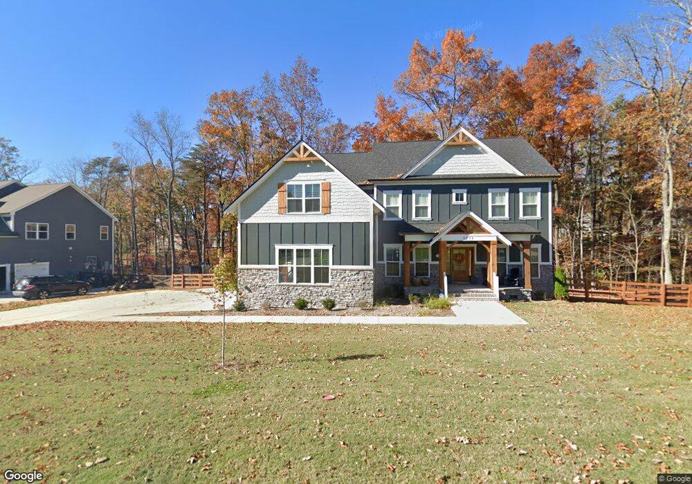
1233 Campfire Trail Unit 104 Signal Mountain, TN 37377
Estimated Value: $863,712 - $905,000
--
Bed
5
Baths
3,316
Sq Ft
$265/Sq Ft
Est. Value
About This Home
This home is located at 1233 Campfire Trail Unit 104, Signal Mountain, TN 37377 and is currently estimated at $878,178, approximately $264 per square foot. 1233 Campfire Trail Unit 104 is a home located in Hamilton County with nearby schools including Nolan Elementary School and Signal Mountain Middle/High School.
Ownership History
Date
Name
Owned For
Owner Type
Purchase Details
Closed on
Feb 22, 2022
Sold by
Ragle Bradley A
Bought by
Crawford William Boyd and Crawford Lacy Blackwell
Current Estimated Value
Home Financials for this Owner
Home Financials are based on the most recent Mortgage that was taken out on this home.
Original Mortgage
$600,000
Outstanding Balance
$559,588
Interest Rate
3.92%
Estimated Equity
$318,590
Purchase Details
Closed on
Jan 25, 2022
Sold by
Pratt Homebuilders Llc
Bought by
Ragle Bradley A and Sturgill Linda
Home Financials for this Owner
Home Financials are based on the most recent Mortgage that was taken out on this home.
Original Mortgage
$600,000
Outstanding Balance
$559,588
Interest Rate
3.92%
Estimated Equity
$318,590
Create a Home Valuation Report for This Property
The Home Valuation Report is an in-depth analysis detailing your home's value as well as a comparison with similar homes in the area
Home Values in the Area
Average Home Value in this Area
Purchase History
| Date | Buyer | Sale Price | Title Company |
|---|---|---|---|
| Crawford William Boyd | $751,000 | Title Guaranty & Trust | |
| Crawford William Boyd | $751,000 | Title Guaranty & Trust | |
| Ragle Bradley A | $539,192 | Burd Raulston Pllc |
Source: Public Records
Mortgage History
| Date | Status | Borrower | Loan Amount |
|---|---|---|---|
| Open | Crawford William Boyd | $600,000 | |
| Closed | Crawford William Boyd | $600,000 | |
| Closed | Ragle Bradley A | $400,405 |
Source: Public Records
Tax History Compared to Growth
Tax History
| Year | Tax Paid | Tax Assessment Tax Assessment Total Assessment is a certain percentage of the fair market value that is determined by local assessors to be the total taxable value of land and additions on the property. | Land | Improvement |
|---|---|---|---|---|
| 2024 | $3,015 | $134,750 | $0 | $0 |
| 2023 | $3,015 | $134,750 | $0 | $0 |
| 2022 | $2,659 | $118,850 | $0 | $0 |
| 2021 | $280 | $12,500 | $0 | $0 |
Source: Public Records
Map
Nearby Homes
- 6949 Sawyer Rd
- 6919 Sawyer Pike
- 7558 Sawyer Rd
- 1006 Sawyer Cemetery Rd
- 7911 Hixson Springs Rd
- 8129 Hixson Springs Rd
- 6015 Sawyer Rd
- 805 Pickett Gulf Rd
- 733 Ray Ln
- 5836 Sunset Canyon Dr
- 595 Deer Valley Dr
- 2035 Sitton Mills Place
- 24 N Fairmount Rd
- 6807 Levi Rd
- 2424 Corral Rd
- 558 Deer Valley Dr
- 0 Maple St Unit 1354982
- 5940 Sunset Canyon Dr
- 8316 Hixson Springs Rd
- 7980 Mountain Laurel Trail
- 1233 Campfire Trail
- 1250 Campfire Trail
- 1250 Campfire Trail Unit 112
- 1215 Campfire Trail
- 1215 Campfire Trail Unit 105
- 1242 Campfire Trail
- 7236 Grey Hawk Trail
- 1222 Campfire Trail
- 1222 Campfire Trail Unit 109
- 1230 Campfire Trail
- 1230 Campfire Trail Unit 110
- 7258 Grey Hawk Trail Unit 102
- 7250 Grey Hawk Trail
- 7250 Grey Hawk Trail Unit 101
- 1262 Campfire Trail
- 1262 Campfire Trail Unit 113
- 7282 Grey Hawk Trail
- 7282 Grey Hawk Trail Unit 103
- 7220 Grey Hawk Trail
- 7220 Grey Hawk Trail Unit 99