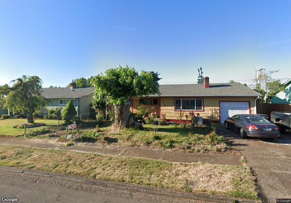
1233 Quinalt St Springfield, OR 97477
West Springfield NeighborhoodEstimated Value: $442,000 - $536,000
3
Beds
2
Baths
1,606
Sq Ft
$294/Sq Ft
Est. Value
About This Home
This home is located at 1233 Quinalt St, Springfield, OR 97477 and is currently estimated at $472,051, approximately $293 per square foot. 1233 Quinalt St is a home located in Lane County with nearby schools including Centennial Elementary School, Hamlin Middle School, and Springfield High School.
Ownership History
Date
Name
Owned For
Owner Type
Purchase Details
Closed on
Jun 16, 2015
Sold by
Jannicelli Arthur F
Bought by
Haight Daniel A
Current Estimated Value
Home Financials for this Owner
Home Financials are based on the most recent Mortgage that was taken out on this home.
Original Mortgage
$100,000
Outstanding Balance
$35,502
Interest Rate
3.77%
Mortgage Type
New Conventional
Estimated Equity
$436,549
Purchase Details
Closed on
Jul 15, 2009
Sold by
Northwest Bank
Bought by
Jannicelli Arthur F
Home Financials for this Owner
Home Financials are based on the most recent Mortgage that was taken out on this home.
Original Mortgage
$187,681
Interest Rate
5.59%
Mortgage Type
Seller Take Back
Create a Home Valuation Report for This Property
The Home Valuation Report is an in-depth analysis detailing your home's value as well as a comparison with similar homes in the area
Home Values in the Area
Average Home Value in this Area
Purchase History
| Date | Buyer | Sale Price | Title Company |
|---|---|---|---|
| Haight Daniel A | $217,000 | Western Title & Escrow Co | |
| Jannicelli Arthur F | $40,000 | Western Title & Escrow Co |
Source: Public Records
Mortgage History
| Date | Status | Borrower | Loan Amount |
|---|---|---|---|
| Open | Haight Daniel A | $100,000 | |
| Previous Owner | Jannicelli Arthur F | $187,681 |
Source: Public Records
Tax History
| Year | Tax Paid | Tax Assessment Tax Assessment Total Assessment is a certain percentage of the fair market value that is determined by local assessors to be the total taxable value of land and additions on the property. | Land | Improvement |
|---|---|---|---|---|
| 2025 | $4,724 | $257,614 | -- | -- |
| 2024 | $4,648 | $250,111 | -- | -- |
| 2023 | $4,648 | $242,827 | -- | -- |
| 2022 | $4,304 | $235,755 | $0 | $0 |
| 2021 | $4,227 | $228,889 | $0 | $0 |
| 2020 | $4,104 | $222,223 | $0 | $0 |
| 2019 | $3,980 | $215,751 | $0 | $0 |
| 2018 | $3,752 | $203,366 | $0 | $0 |
| 2017 | $3,608 | $203,366 | $0 | $0 |
| 2016 | $3,532 | $197,443 | $0 | $0 |
| 2015 | $3,431 | $191,692 | $0 | $0 |
| 2014 | -- | $186,109 | $0 | $0 |
Source: Public Records
Map
Nearby Homes
- 1310 W Quinalt St
- 1450 W Quinalt St
- 804 W N St
- 898 Lochaven Ave
- 1533 Sequoia Ave
- 1424 Wimbledon Place
- 1130 Anderson Ln
- 538 Lochaven Ave
- 451 Lochaven Ave
- 1074 Hamilton St
- 446 Kodiak St
- 428 W Centennial Blvd
- 364 Scotts Glen Dr
- 1566 Laura St
- 992 Sunset Dr
- 3579 Oxbow Way
- 835 Anderson Ln
- 930 Prescott Ln
- 2150 Laura St Unit 119
- 2150 Laura St Unit 111
- 1233 W Quinalt St
- 1243 W Quinalt St
- 1223 W Quinalt St
- 0 W Quinalt St Unit 9076319
- 1253 W Quinalt St
- 1224 W Fairview Dr
- 1120 W Fairview Dr Unit 1
- 1120 W Fairview Dr Unit 75
- 1120 W Fairview Dr Unit 79
- 1120 W Fairview Dr Unit 50
- 1120 W Fairview Dr Unit 76
- 1120 W Fairview Dr Unit 8
- 1120 W Fairview Dr Unit 27
- 1120 W Fairview Dr Unit 2
- 1120 W Fairview Dr
- 1120 W Fairview Dr Unit 71
- 1120 W Fairview Dr Unit 81
- 1120 W Fairview Dr Unit 72
- 1120 W Fairview Dr Unit 33
- 1240 W Fairview Dr
Your Personal Tour Guide
Ask me questions while you tour the home.