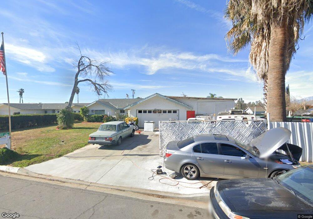
12334 Pascal Ave Grand Terrace, CA 92313
Estimated Value: $589,149 - $646,000
4
Beds
2
Baths
2,017
Sq Ft
$312/Sq Ft
Est. Value
About This Home
This home is located at 12334 Pascal Ave, Grand Terrace, CA 92313 and is currently estimated at $629,537, approximately $312 per square foot. 12334 Pascal Ave is a home located in San Bernardino County with nearby schools including Grand Terrace Elementary School, Terrace Hills Middle School, and Grand Terrace High School.
Ownership History
Date
Name
Owned For
Owner Type
Purchase Details
Closed on
Jan 30, 2019
Sold by
Petersen Neil E
Bought by
Petersen Neil Earl and Neil Earl Petersen Family Trus
Current Estimated Value
Purchase Details
Closed on
Feb 27, 2015
Sold by
Petersen Neil E
Bought by
Petersen Neil E and Petersen Ruth D
Purchase Details
Closed on
Sep 16, 2009
Sold by
Petersen Neil E
Bought by
Petersen Neil E and Petersen Ruth D
Purchase Details
Closed on
Mar 9, 2004
Sold by
Mccarver Lori Ann
Bought by
The Ruth D Petersen Charitable Trust
Create a Home Valuation Report for This Property
The Home Valuation Report is an in-depth analysis detailing your home's value as well as a comparison with similar homes in the area
Home Values in the Area
Average Home Value in this Area
Purchase History
| Date | Buyer | Sale Price | Title Company |
|---|---|---|---|
| Petersen Neil Earl | -- | None Available | |
| Petersen Neil E | -- | None Available | |
| Petersen Family Trust | -- | None Available | |
| Petersen Neil E | -- | None Available | |
| Petersen Neil E | -- | None Available | |
| The Ruth D Petersen Charitable Trust | -- | United Title Company |
Source: Public Records
Tax History Compared to Growth
Tax History
| Year | Tax Paid | Tax Assessment Tax Assessment Total Assessment is a certain percentage of the fair market value that is determined by local assessors to be the total taxable value of land and additions on the property. | Land | Improvement |
|---|---|---|---|---|
| 2025 | $958 | $72,673 | $13,627 | $59,046 |
| 2024 | $958 | $71,248 | $13,360 | $57,888 |
| 2023 | $953 | $69,851 | $13,098 | $56,753 |
| 2022 | $935 | $68,481 | $12,841 | $55,640 |
| 2021 | $944 | $67,138 | $12,589 | $54,549 |
| 2020 | $942 | $66,450 | $12,460 | $53,990 |
| 2019 | $919 | $65,147 | $12,216 | $52,931 |
| 2018 | $748 | $63,869 | $11,976 | $51,893 |
| 2017 | $720 | $62,616 | $11,741 | $50,875 |
| 2016 | $736 | $61,388 | $11,511 | $49,877 |
| 2015 | $711 | $60,466 | $11,338 | $49,128 |
| 2014 | -- | $184,274 | $54,756 | $129,518 |
Source: Public Records
Map
Nearby Homes
- 12338 Vivienda Ave
- 22121 Mavis St
- 12238 Michigan St
- 12201 Michigan St
- 22263 Van Buren St
- 12420 Mount Vernon Ave Unit 4B
- 12420 Mount Vernon Ave Unit 1A
- 12168 Mount Vernon Ave Unit 84
- 22300 Barton Rd
- 22196 Emerald St
- 22230 Emerald St
- 11947 Vivienda Ct
- 22436 Canal Cir
- 12055 Mount Vernon Ave
- 22456 Canal Cir
- 22629 De Soto St
- 21845 Grand Terrace Rd Unit 22
- 12799 Reed Ave
- 22730 Van Buren St
- 22111 Newport Ave Unit 67
- 12344 Pascal Ave
- 22205 De Berry St
- 12339 Vivienda Ave
- 12312 Pascal Ave
- 12347 Vivienda Ave
- 12354 Pascal Ave
- 22197 De Berry St
- 12335 Vivienda Ave
- 22240 Fulmar Place
- 22235 Fulmar Place
- 12355 Vivienda Ave
- 22187 De Berry St
- 22243 De Berry St
- 12364 Pascal Ave
- 22245 Fulmar Place
- 12365 Vivienda Ave
- 22236 Mavis St
- 22250 Fulmar Place
- 12334 Vivienda Ave
- 22210 De Berry St