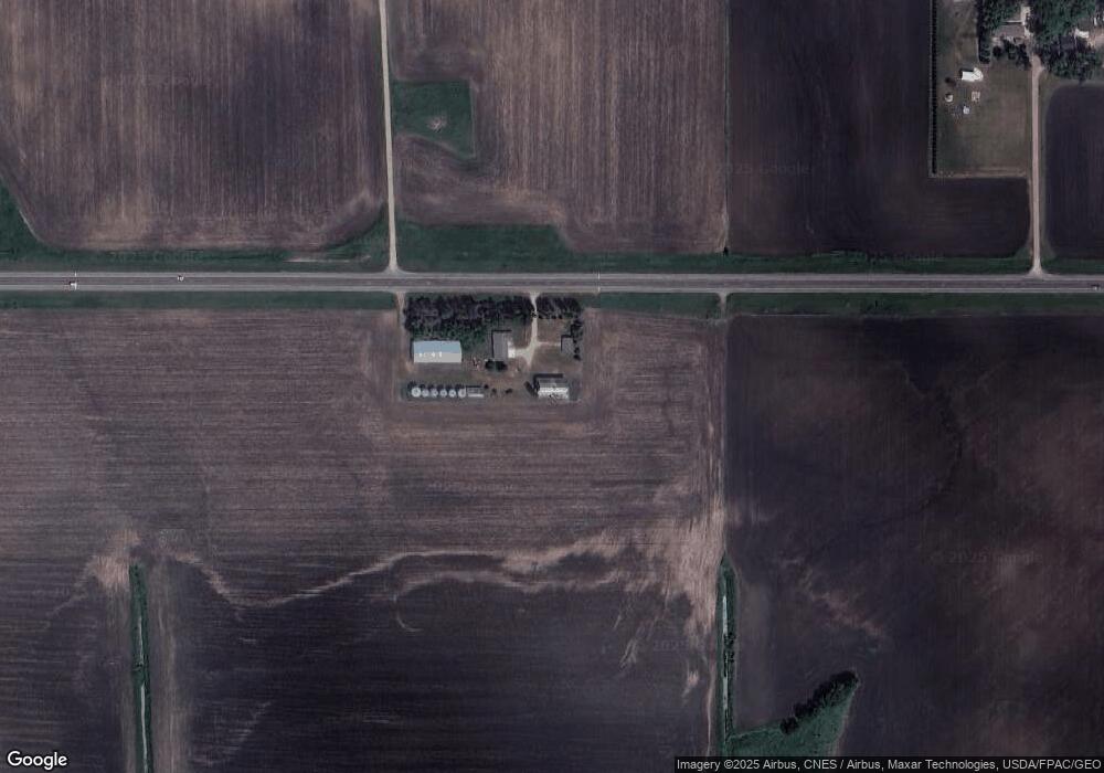
12335 Highway 212 Glencoe, MN 55336
Estimated Value: $432,000 - $466,227
4
Beds
2
Baths
3,160
Sq Ft
$143/Sq Ft
Est. Value
About This Home
This home is located at 12335 Highway 212, Glencoe, MN 55336 and is currently estimated at $452,307, approximately $143 per square foot. 12335 Highway 212 is a home located in McLeod County with nearby schools including Lincoln Elementary School, Lakeside Elementary School, and Glencoe-Silver Lake Jr. High School.
Ownership History
Date
Name
Owned For
Owner Type
Purchase Details
Closed on
Mar 11, 2021
Sold by
Koralewski Kevin and Koralewski Linette
Bought by
Diers Martin W and Diers Kay M
Current Estimated Value
Home Financials for this Owner
Home Financials are based on the most recent Mortgage that was taken out on this home.
Original Mortgage
$351,500
Outstanding Balance
$315,626
Interest Rate
2.8%
Mortgage Type
New Conventional
Estimated Equity
$136,681
Create a Home Valuation Report for This Property
The Home Valuation Report is an in-depth analysis detailing your home's value as well as a comparison with similar homes in the area
Home Values in the Area
Average Home Value in this Area
Purchase History
| Date | Buyer | Sale Price | Title Company |
|---|---|---|---|
| Diers Martin W | $370,000 | Burnet Title | |
| Diers Martin Martin | $370,000 | -- |
Source: Public Records
Mortgage History
| Date | Status | Borrower | Loan Amount |
|---|---|---|---|
| Open | Diers Martin W | $351,500 | |
| Closed | Diers Martin Martin | $351,500 |
Source: Public Records
Tax History Compared to Growth
Tax History
| Year | Tax Paid | Tax Assessment Tax Assessment Total Assessment is a certain percentage of the fair market value that is determined by local assessors to be the total taxable value of land and additions on the property. | Land | Improvement |
|---|---|---|---|---|
| 2024 | $3,386 | $412,900 | $89,500 | $323,400 |
| 2023 | $3,082 | $375,300 | $81,300 | $294,000 |
| 2022 | $3,280 | $386,200 | $81,300 | $304,900 |
| 2021 | $3,262 | $327,400 | $67,900 | $259,500 |
| 2020 | $2,900 | $327,400 | $67,900 | $259,500 |
| 2019 | $2,636 | $287,800 | $55,600 | $232,200 |
| 2018 | $2,406 | $0 | $0 | $0 |
| 2017 | $2,122 | $0 | $0 | $0 |
| 2016 | $2,066 | $0 | $0 | $0 |
| 2015 | $1,454 | $0 | $0 | $0 |
| 2014 | -- | $0 | $0 | $0 |
Source: Public Records
Map
Nearby Homes
- 7900 Lace Ave N
- 7900 Lace Ave
- 13198 100th St
- 16452 90th St
- 503 17th St W
- 205 Wacker Dr
- 105 Hennepin Ave N
- 316 20th St W
- 44139 162nd St
- 1207 Desoto Ave N
- 1407 Desoto Ave N
- 800 Sumac Ln
- 804 Mitchell Ct
- 400 Edgewood Dr
- 719 14th St E
- 1199 E 2nd St
- 1724 Ford Ave N
- 1227 11th St E
- 752 2nd St N
- 2600 14th St E
- 8609 Kale Ave
- 12406 Highway 212
- 12406 Highway 212
- 8608 Kale Ave
- 8608 Kale Ave
- 8608 Kale Ave
- 8608 Kale Ave
- 8766 Kale Ave
- xxxxx Lace Ave N
- 8274 Lace Ave
- 8806 Lace Ave
- 11843 Highway 212
- 11843 Highway 212 Unit US
- 13071 Highway 212
- 13071 Highway 212
- 13071 U S 212
- 13120 Highway 212
- 12586 75th St
- 8815 Lace Ave
- 8983 Lace Ave