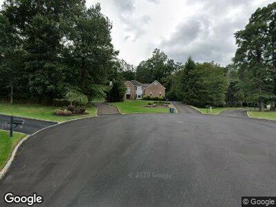
1234 Cornell Rd Bridgewater, NJ 08807
Martinsville NeighborhoodEstimated Value: $1,290,000 - $1,354,000
--
Bed
--
Bath
4,237
Sq Ft
$310/Sq Ft
Est. Value
About This Home
This home is located at 1234 Cornell Rd, Bridgewater, NJ 08807 and is currently estimated at $1,314,452, approximately $310 per square foot. 1234 Cornell Rd is a home located in Somerset County with nearby schools including Crim Primary School, Bridgewater-Raritan Middle School, and Hillside Intermediate School.
Ownership History
Date
Name
Owned For
Owner Type
Purchase Details
Closed on
Mar 8, 1995
Sold by
Artrue Homes
Bought by
Levin Craig and Levin Wendy
Current Estimated Value
Home Financials for this Owner
Home Financials are based on the most recent Mortgage that was taken out on this home.
Original Mortgage
$435,000
Interest Rate
9.09%
Create a Home Valuation Report for This Property
The Home Valuation Report is an in-depth analysis detailing your home's value as well as a comparison with similar homes in the area
Home Values in the Area
Average Home Value in this Area
Purchase History
| Date | Buyer | Sale Price | Title Company |
|---|---|---|---|
| Levin Craig | $549,675 | -- |
Source: Public Records
Mortgage History
| Date | Status | Borrower | Loan Amount |
|---|---|---|---|
| Open | Levin Craig | $303,000 | |
| Closed | Levin Craig D | $100,000 | |
| Closed | Levin Craig | $435,000 |
Source: Public Records
Tax History Compared to Growth
Tax History
| Year | Tax Paid | Tax Assessment Tax Assessment Total Assessment is a certain percentage of the fair market value that is determined by local assessors to be the total taxable value of land and additions on the property. | Land | Improvement |
|---|---|---|---|---|
| 2024 | $19,969 | $1,025,100 | $330,300 | $694,800 |
| 2023 | $19,144 | $964,900 | $330,300 | $634,600 |
| 2022 | $18,098 | $877,700 | $330,300 | $547,400 |
| 2021 | $17,581 | $845,500 | $330,300 | $515,200 |
| 2020 | $17,634 | $838,500 | $330,300 | $508,200 |
| 2019 | $17,581 | $828,100 | $330,300 | $497,800 |
| 2018 | $17,317 | $817,600 | $330,300 | $487,300 |
| 2017 | $17,187 | $810,700 | $330,300 | $480,400 |
| 2016 | $16,890 | $808,900 | $330,300 | $478,600 |
| 2015 | $16,784 | $804,200 | $330,300 | $473,900 |
| 2014 | $17,028 | $803,600 | $330,300 | $473,300 |
Source: Public Records
Map
Nearby Homes
- 1178 Delaware Dr
- 1930 Mountain Top Rd
- 1315 Tullo Rd
- 1341 Crim Rd
- 1580 Mountain Top Rd
- 1720 Mountain Top Rd
- 1070 Hoffman Rd
- 1112 Crim Rd
- 546 Bittersweet Terrace
- 1746 W Circle Dr
- 2 Mcmanus Dr
- 26 Mcdowell Ct
- 1833 Mountain Top Rd
- 1380 Mallard Dr
- 1416 Drum Hill Rd
- 22 Gateshead Dr
- 129 Mountainside Ln
- 4 Brian Dr
- 1450 Drum Hill Rd
- 13 Lawton Rd