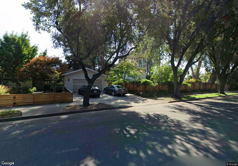
1234 Cranberry Ave Sunnyvale, CA 94087
Estimated Value: $3,423,000 - $4,058,385
4
Beds
4
Baths
3,969
Sq Ft
$917/Sq Ft
Est. Value
About This Home
This home is located at 1234 Cranberry Ave, Sunnyvale, CA 94087 and is currently estimated at $3,637,846, approximately $916 per square foot. 1234 Cranberry Ave is a home located in Santa Clara County with nearby schools including Cherry Chase Elementary School, Sunnyvale Middle School, and Homestead High School.
Ownership History
Date
Name
Owned For
Owner Type
Purchase Details
Closed on
Oct 6, 2005
Sold by
Malone Michael S and Malone Carol M
Bought by
Malone Michael S and Malone Carol M
Current Estimated Value
Home Financials for this Owner
Home Financials are based on the most recent Mortgage that was taken out on this home.
Original Mortgage
$768,400
Outstanding Balance
$407,908
Interest Rate
5.63%
Mortgage Type
New Conventional
Estimated Equity
$3,229,938
Purchase Details
Closed on
Jul 26, 1996
Sold by
Malone Lela Nadiene
Bought by
Malone Michael S and Malone Carol A Marschner
Home Financials for this Owner
Home Financials are based on the most recent Mortgage that was taken out on this home.
Original Mortgage
$532,500
Interest Rate
8.32%
Create a Home Valuation Report for This Property
The Home Valuation Report is an in-depth analysis detailing your home's value as well as a comparison with similar homes in the area
Home Values in the Area
Average Home Value in this Area
Purchase History
| Date | Buyer | Sale Price | Title Company |
|---|---|---|---|
| Malone Michael S | -- | Commonwealth Land Title | |
| Malone Michael S | $5,500 | Commonwealth Land Title Co |
Source: Public Records
Mortgage History
| Date | Status | Borrower | Loan Amount |
|---|---|---|---|
| Open | Malone Michael S | $768,400 | |
| Closed | Malone Michael S | $532,500 |
Source: Public Records
Tax History Compared to Growth
Tax History
| Year | Tax Paid | Tax Assessment Tax Assessment Total Assessment is a certain percentage of the fair market value that is determined by local assessors to be the total taxable value of land and additions on the property. | Land | Improvement |
|---|---|---|---|---|
| 2025 | $5,386 | $524,000 | $406,200 | $117,800 |
| 2024 | $5,386 | $444,000 | $344,200 | $99,800 |
| 2023 | $7,045 | $581,800 | $451,000 | $130,800 |
| 2022 | $8,523 | $706,000 | $547,300 | $158,700 |
| 2021 | $8,142 | $666,700 | $516,800 | $149,900 |
| 2020 | $7,129 | $582,600 | $451,600 | $131,000 |
| 2019 | $6,964 | $570,400 | $442,200 | $128,200 |
| 2018 | $7,274 | $597,300 | $463,000 | $134,300 |
| 2017 | $6,808 | $554,000 | $429,500 | $124,500 |
| 2016 | $6,617 | $549,500 | $426,000 | $123,500 |
| 2015 | $8,055 | $659,500 | $511,200 | $148,300 |
| 2014 | $6,995 | $570,400 | $442,200 | $128,200 |
Source: Public Records
Map
Nearby Homes
- 1244 Elderberry Dr
- 1072 Syracuse Dr
- 1402 Bedford Ave
- 1624 Clay Dr
- 1684 Newcastle Dr
- 1507 Dominion Ave
- 1686 Parkhills Ave
- 1523 Ashcroft Way
- 2721 Fairbrook Dr
- 1881 Alford Ave
- 1262 Riesling Terrace
- 960 Heatherstone Ave
- 1201 Heatherstone Way
- 1296 Riesling Terrace
- 1901 Alford Ave
- 857 Peach Ave
- 1402 Oak Ave
- 1315 Bright Oaks Ct
- 654 Princeton Dr
- 1260 Grant Rd
- 1230 Cranberry Ave
- 1258 Cranberry Ave
- 1238 Cranberry Ave
- 1249 Cranberry Ave
- 1091 Ticonderoga Dr
- 1089 Ticonderoga Dr
- 1243 Cranberry Ave
- 1090 Syracuse Dr
- 1088 Syracuse Dr
- 1253 Cranberry Ave
- 1087 Ticonderoga Dr
- 1086 Syracuse Dr
- 1251 Elderberry Dr
- 1245 Elderberry Dr
- 1255 Cranberry Ave
- 1237 Elderberry Dr
- 1084 Syracuse Dr
- 1085 Ticonderoga Dr
- 1244 S Bernardo Ave
- 1250 S Bernardo Ave