1235 1235 Teeup-Lane- Red Wing, MN 55066
Estimated Value: $334,000 - $341,000
3
Beds
2
Baths
1,270
Sq Ft
$265/Sq Ft
Est. Value
About This Home
This home is located at 1235 1235 Teeup-Lane-, Red Wing, MN 55066 and is currently estimated at $336,437, approximately $264 per square foot. 1235 1235 Teeup-Lane- is a home located in Goodhue County with nearby schools including Sunnyside Elementary School, Burnside Elementary School, and Twin Bluff Middle School.
Ownership History
Date
Name
Owned For
Owner Type
Purchase Details
Closed on
Nov 10, 2014
Sold by
Fisher Gordon W and Fisher Janet M
Bought by
Halgren Joan L and Halgren Judy B
Current Estimated Value
Purchase Details
Closed on
Dec 10, 2012
Sold by
Fisher Gordon W and Fisher Janet M
Bought by
Walm Ronald W and Walm Diane L
Purchase Details
Closed on
May 23, 2000
Sold by
Christian Gregory A and Christian Barbara J
Bought by
Fisher Gordon W and Fisher Janet M
Create a Home Valuation Report for This Property
The Home Valuation Report is an in-depth analysis detailing your home's value as well as a comparison with similar homes in the area
Home Values in the Area
Average Home Value in this Area
Purchase History
| Date | Buyer | Sale Price | Title Company |
|---|---|---|---|
| Halgren Joan L | -- | Goodhue County Abstract Comp | |
| Fisher Gordon W | -- | Goodhue County Abstract Comp | |
| Walm Ronald W | $2,500 | -- | |
| Fisher Gordon W | $196,000 | -- |
Source: Public Records
Tax History Compared to Growth
Tax History
| Year | Tax Paid | Tax Assessment Tax Assessment Total Assessment is a certain percentage of the fair market value that is determined by local assessors to be the total taxable value of land and additions on the property. | Land | Improvement |
|---|---|---|---|---|
| 2025 | $3,968 | $314,900 | $47,500 | $267,400 |
| 2024 | -- | $309,200 | $47,800 | $261,400 |
| 2023 | $3,716 | $291,100 | $47,800 | $243,300 |
| 2022 | $3,412 | $284,000 | $42,600 | $241,400 |
| 2021 | $3,128 | $241,300 | $42,600 | $198,700 |
| 2020 | $3,076 | $226,000 | $42,600 | $183,400 |
| 2019 | $3,084 | $209,400 | $42,600 | $166,800 |
| 2018 | $2,460 | $212,100 | $40,900 | $171,200 |
| 2017 | $2,394 | $184,900 | $40,900 | $144,000 |
| 2016 | $2,154 | $182,500 | $40,900 | $141,600 |
| 2015 | $2,060 | $173,800 | $40,900 | $132,900 |
| 2014 | -- | $166,400 | $40,900 | $125,500 |
Source: Public Records
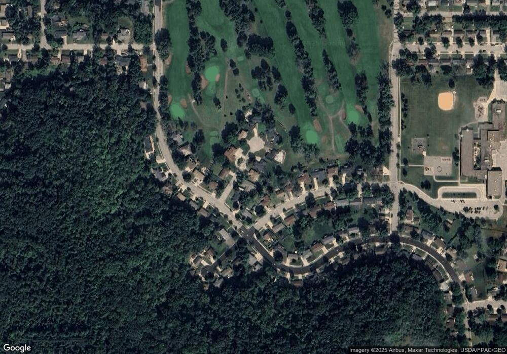
Map
Nearby Homes
- 1224 Tee Up Ln
- 1632 Spruce Dr
- 1838 Spruce Dr
- 1606 Reichert Ave
- 1846 Twin Bluff Rd
- 1164 Hawthorn St
- 1825 Twin Bluff Rd
- 1927 Twin Bluff Rd
- 1903 Lenore Ln
- 1706 Siewert St
- 1062 Putnam Ave
- 1029 Putnam Ave
- 1012 West Ave
- 425 Minnesota St
- 642 Grace St
- 1505 Hillside Dr
- 1028 Kingman Ave
- 1978 Neal St
- 2345 S Oak Dr
- 528 Buchanan St
- 1235 Tee Up Ln
- 1231 Tee Up Ln
- 1239 Tee Up Ln
- 1234 Foursome St
- 1238 Foursome St
- 1227 Tee Up Ln
- 1230 Foursome St
- 1245 Tee Up Ln
- 1238 1238 Teeup Ln
- 1232 Tee Up Ln
- 1697 Spruce Dr
- 1238 Tee Up Ln
- 1238 Tee Up Path
- 1679 Spruce Dr
- 1221 Tee Up Ln
- 1226 Foursome St
- 1226 Tee Up Ln
- 1671 Spruce Dr
- 1241 Foursome St
- 1235 Foursome St