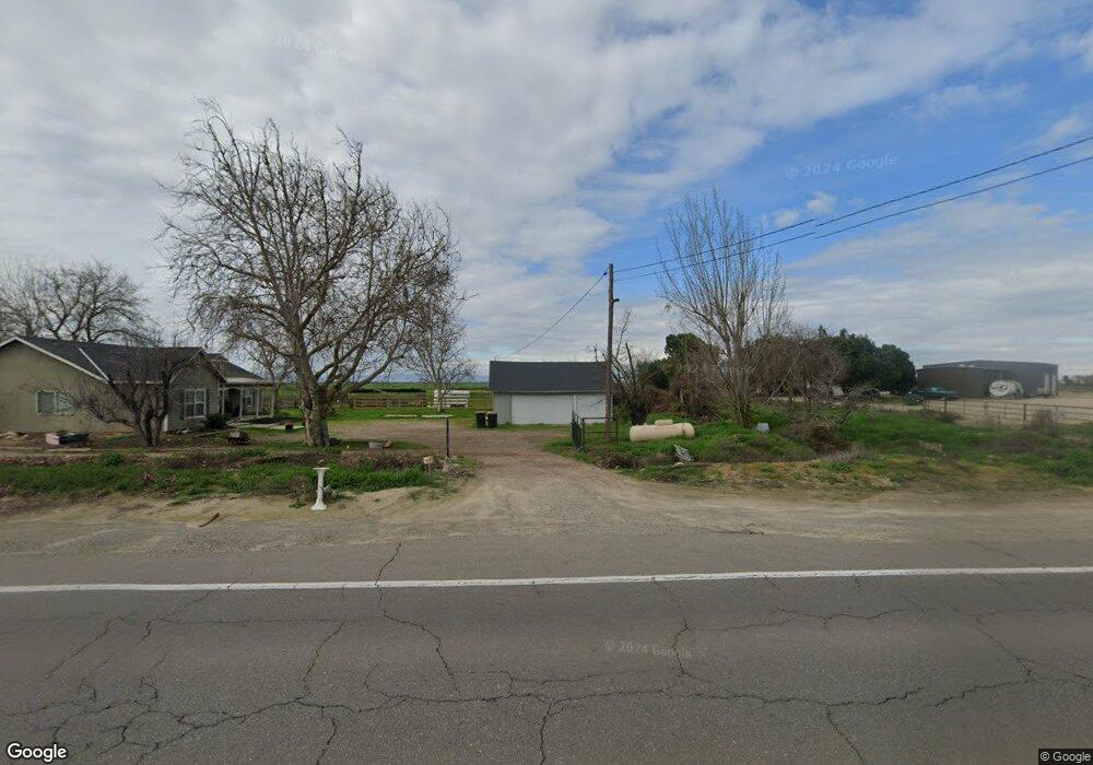
1235 Lander Ave Stevinson, CA 95374
Estimated Value: $436,000 - $764,000
3
Beds
2
Baths
1,887
Sq Ft
$299/Sq Ft
Est. Value
About This Home
This home is located at 1235 Lander Ave, Stevinson, CA 95374 and is currently estimated at $564,342, approximately $299 per square foot. 1235 Lander Ave is a home located in Merced County with nearby schools including Hilmar High School.
Ownership History
Date
Name
Owned For
Owner Type
Purchase Details
Closed on
Jun 3, 2013
Sold by
Davis Shawneen
Bought by
Davis Robert R and Davis Shawneen M
Current Estimated Value
Home Financials for this Owner
Home Financials are based on the most recent Mortgage that was taken out on this home.
Original Mortgage
$50,000
Interest Rate
3.32%
Mortgage Type
Credit Line Revolving
Purchase Details
Closed on
Jul 25, 2000
Sold by
Mae Forgnone Bettie
Bought by
Forgnone Thomas M
Create a Home Valuation Report for This Property
The Home Valuation Report is an in-depth analysis detailing your home's value as well as a comparison with similar homes in the area
Purchase History
| Date | Buyer | Sale Price | Title Company |
|---|---|---|---|
| Davis Robert R | -- | Orange Coast Title Company | |
| Forgnone Thomas M | -- | -- |
Source: Public Records
Mortgage History
| Date | Status | Borrower | Loan Amount |
|---|---|---|---|
| Closed | Davis Robert R | $50,000 |
Source: Public Records
Tax History
| Year | Tax Paid | Tax Assessment Tax Assessment Total Assessment is a certain percentage of the fair market value that is determined by local assessors to be the total taxable value of land and additions on the property. | Land | Improvement |
|---|---|---|---|---|
| 2025 | $2,426 | $225,286 | $8,289 | $216,997 |
| 2024 | $2,426 | $220,870 | $8,127 | $212,743 |
| 2023 | $2,351 | $216,540 | $7,968 | $208,572 |
| 2022 | $2,412 | $212,295 | $7,812 | $204,483 |
| 2021 | $2,374 | $208,133 | $7,659 | $200,474 |
| 2020 | $2,363 | $206,000 | $7,581 | $198,419 |
| 2019 | $2,344 | $201,962 | $7,433 | $194,529 |
| 2018 | $2,164 | $198,003 | $7,288 | $190,715 |
| 2017 | $2,121 | $194,122 | $7,146 | $186,976 |
| 2016 | $2,081 | $190,316 | $7,006 | $183,310 |
| 2015 | $2,059 | $187,458 | $6,901 | $180,557 |
| 2014 | $2,013 | $183,787 | $6,766 | $177,021 |
Source: Public Records
Map
Nearby Homes
- 19737 California 140
- 1 2848 4th St
- 0 2848 4th St
- 2776 Center St
- 2886 Center St
- 0 Third Ave
- 21160 Second Ave
- 19331 First Ave
- 17385 Bell Dr
- 20170 River Rd
- 0 Cemetery Rd
- 5460 Kilroy Rd
- 15544 Atwater Jordan Rd
- 15490 Atwater Jordan Rd
- 14509 Bell Dr
- 14359 Sunset Dr
- 14176 Sunset Dr
- 14923 Westside Blvd
- 19893 Lucas Ct
- 0 Apn: 015-090-012-000 Unit 225130276
- 1251 Lander Ave
- 19892 Sixth Ave
- 19700 Sixth Ave
- 19677 Sixth Ave
- 19677 Sixth Ave
- 1526 Lander Ave
- 20267 State Highway 140
- 20325 California 140
- 750 Lander Ave
- 1279 Nelander Rd
- 19861 State Highway 140
- 20195 State Highway 140
- 20195 State Highway 140
- 0 Hwy 140 Unit 13045804
- 0 Hwy 140 Unit 18019459
- 0 Hwy 140 Unit 132219009
- 0 Hwy 140 Unit 132219007
- 0 Hwy 140 Unit 11040950
- 0 California 140
- 140 California 140
Your Personal Tour Guide
Ask me questions while you tour the home.