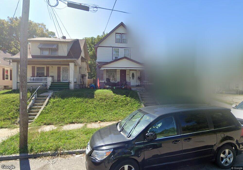
1235 Rowland Ave Kansas City, KS 66104
Northeast Kansas City NeighborhoodEstimated Value: $159,000 - $187,000
5
Beds
2
Baths
1,702
Sq Ft
$104/Sq Ft
Est. Value
About This Home
This home is located at 1235 Rowland Ave, Kansas City, KS 66104 and is currently estimated at $177,581, approximately $104 per square foot. 1235 Rowland Ave is a home located in Wyandotte County with nearby schools including Bertram Caruthers Elementary School, Carl B. Bruce Middle School, and Wyandotte High School.
Ownership History
Date
Name
Owned For
Owner Type
Purchase Details
Closed on
Aug 5, 2016
Sold by
Carmona Jorge Reyna
Bought by
Falcon Anthony
Current Estimated Value
Purchase Details
Closed on
Jun 30, 2014
Sold by
Falcon Maria G and Falcon Rogelio
Bought by
Reyna Carmona Jorge L
Purchase Details
Closed on
Jan 10, 2005
Sold by
Houston Julia M and Henderson John H
Bought by
Falcon Rogelio and Falcon Maria G
Create a Home Valuation Report for This Property
The Home Valuation Report is an in-depth analysis detailing your home's value as well as a comparison with similar homes in the area
Home Values in the Area
Average Home Value in this Area
Purchase History
| Date | Buyer | Sale Price | Title Company |
|---|---|---|---|
| Falcon Anthony | $55,000 | None Available | |
| Reyna Carmona Jorge L | -- | None Available | |
| Falcon Rogelio | -- | None Available |
Source: Public Records
Tax History Compared to Growth
Tax History
| Year | Tax Paid | Tax Assessment Tax Assessment Total Assessment is a certain percentage of the fair market value that is determined by local assessors to be the total taxable value of land and additions on the property. | Land | Improvement |
|---|---|---|---|---|
| 2024 | $1,074 | $7,935 | $2,001 | $5,934 |
| 2023 | $1,129 | $7,452 | $1,643 | $5,809 |
| 2022 | $806 | $5,428 | $1,266 | $4,162 |
| 2021 | $690 | $4,393 | $378 | $4,015 |
| 2020 | $603 | $3,875 | $308 | $3,567 |
| 2019 | $580 | $3,737 | $308 | $3,429 |
| 2018 | $493 | $3,231 | $271 | $2,960 |
| 2017 | $541 | $3,488 | $253 | $3,235 |
| 2016 | $612 | $3,876 | $253 | $3,623 |
| 2015 | $620 | $3,876 | $253 | $3,623 |
| 2014 | $1,154 | $5,714 | $250 | $5,464 |
Source: Public Records
Map
Nearby Homes
- 2518 N 12th St
- 2610 N 12th St
- 1133 Cleveland Ave
- 1134 Haskell Ave
- 1336 Rowland Ave
- 1341 Rowland Ave
- 1342 Georgia Ave
- 1052 Cleveland Ave
- 1333 Waverly Ave
- 1049 Cleveland Ave
- 1500 Waverly Ave
- 1137 Greeley Ave
- 1527 Haskell Ave
- 2928 Roosevelt St
- 1060 Kimball Ave
- 1009 Quindaro Blvd
- 2837 Parkwood Blvd
- 2213 N 10th St
- 932 Greeley Ave
- 2602 N 18th St
- 1233 Rowland Ave
- 1229 Rowland Ave
- 2515 N 13th St
- 2519 N 13th St
- 1227 Rowland Ave
- 2509 N 13th St
- 1238 Cleveland Ave
- 1225 Rowland Ave
- 2507 N 13th St
- 1238 Rowland Ave
- 1228 Cleveland Ave
- 1226 Rowland Ave
- 1223 Rowland Ave
- 2601 N 13th St
- 2501 N 13th St
- 1236 Rowland Ave
- 1234 Rowland Ave
- 1230 Rowland Ave
- 1219 Rowland Ave
- 1228 Rowland Ave